

CoverageMap compares cellular coverage from carriers in four countries.
CellMapper
CellMapper maps cellular towers and coverage from crowdsourced data, with filters for providers and regions.
About CellMapper
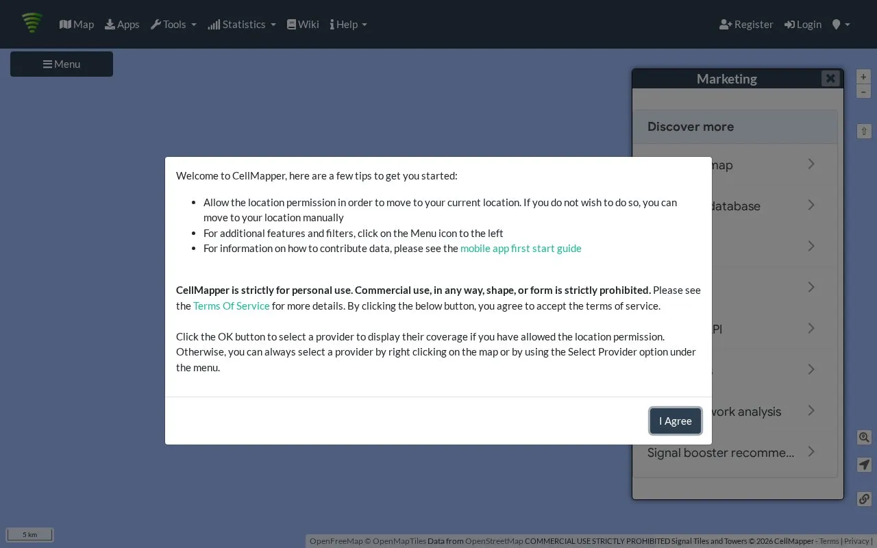
CellMapper is a crowd-sourced cellular tower and coverage mapping service. Its web map, titled Cellular Tower and Signal Map, shows tower locations and signal information contributed by users.
You can select a provider, network, and band, then filter results by date, frequency, bandwidth, tower type, and region (LAC/TAC). Filters also include options for verified towers, low-accuracy points, and LTE CA and 5G ENDC capable towers. Search tools cover locations, towers, cells, LAC/TAC codes, and BSIC/PCI/PSC values. Map settings allow you to show or hide towers, icons, labels, and signal trails, and to choose base maps such as OpenStreetMap, satellite, and topographic views. An account is required to edit data.
The site suits people who want to check mobile coverage and tower positions by provider and area, including travelers comparing networks.
Key features
- Crowd-sourced map of cellular towers and coverage
- Filter by provider, network, band, and region
- Search by location, tower, cell, and LAC/TAC
- Toggle tower icons, labels, and signal trails
- Switch base maps including satellite and topographic
Best for: People checking mobile coverage and tower locations by provider and area benefit most.
Good for
- Provider, band, and region filters
- Multiple search types for towers and cells
- Several base maps and display settings
Watch out for
- Login required to edit data
- API use can reach a request limit
CellMapper at a glance
- Website
- cellmapper.net
- Category
- Travel & Maps › Maps, Navigation & Weather
- Type
- Website
- Pricing
- Not confirmed. Check the site
- Platforms
- Web
- Open source
- Not stated
- Language
- English
- Last checked
- Oct 5, 2026 · Online when checked
- Listed
- Oct 5, 2026
CellMapper alternatives
Tools and sites you could use instead, ranked by how closely they match.

ACLED’s US Monitor provides coverage of protest and extremist activity in the United States.

OpenWeather provides APIs for current conditions, forecasts, historical weather, pollution, energy, and environmental data.
FreemiumPick
19 alternativesArcGIS Living Atlas provides search and filters for finding maps, data layers, tools, and applications.

World Population Density maps population patterns and urban regions using Global Human Settlement Layer data.

EuraAtlas presents a historical atlas of Europe with maps of mountains, rivers, and regions.
Popular in Maps, Navigation & Weather
Well-known listings from the same topic.
511on.ca511on.caFIRMSfirms.modaps.eosdis.nasa.gov/mapWeather History & Data Archivewunderground.com/historyORBISorbis.stanford.eduEarth Engine Datasetdevelopers.google.com/earth-engine/datasetsAP Transitaptransit.co


CellMapper FAQ
What is CellMapper?
CellMapper is a crowd-sourced cellular tower and coverage mapping service available on the web.
How do I find coverage for a specific provider?
Select a provider, network, and band, then use filters for regions, bands, and tower types to narrow the map.
Do I need an account to edit data?
Yes. You must be logged in to edit data, with options to register or sign in.
Is something wrong or out of date?
Tell us and an editor will check it.
Own this website?
Claim this listing
Claim the listing and suggest updates yourself. An editor checks every claim first.