

World Population Density maps population patterns and urban regions using Global Human Settlement Layer data.
EuraAtlas
EuraAtlas presents a historical atlas of Europe with maps of mountains, rivers, and regions.
About EuraAtlas
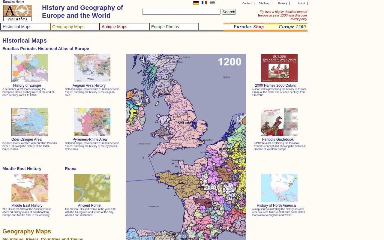
EuraAtlas is a website about the historical geography of Europe, with additional world coverage. It provides a sequence of 21 maps showing European states at the end of each century from 1 to 2000, plus regional history maps for areas including the Aegean, Oder-Dnieper and Pyrenees-Rhine regions, the ancient Orient, ancient Rome, and North America from 1642 to 2010.
It also includes an interactive physical atlas of Europe for mountains, rivers, cities and borders, a world atlas with country data, digitized antique maps, and more than 2000 pictures of towns and landscapes. Additional atlases, georeferenced vector data and high-resolution maps are offered through a shop and member area.
Key features
- 21 century-end maps of Europe from year 1 to 2000
- Interactive physical map of mountains, rivers, cities and borders
- World map with capitals, area, population and life expectancy
- Digitized antique maps including Peutinger Map and 1808 Lesage Atlas
- 2000+ photos of European towns, landmarks and landscapes
- Georeferenced historical vector data for map creation and analysis
Best for: Students, teachers and general readers studying European history and geography.
Good for
- Century-by-century map series covers years 1 to 2000 in a consistent format
- Physical maps link place names to locations on a general map
- Photos can be redistributed with the Euratlas logo retained
Watch out for
- Some vector data, high-resolution maps and atlases are provided via shop or member subscription
EuraAtlas at a glance
- Website
- euratlas.com
- Category
- Travel & Maps › Maps, Navigation & Weather
- Type
- Website
- Pricing
- Not confirmed. Check the site
- Platforms
- Web
- Open source
- Not stated
- Language
- English
- Last checked
- Oct 5, 2026 · Online when checked
- Listed
- Oct 5, 2026
EuraAtlas alternatives
Tools and sites you could use instead, ranked by how closely they match.

WorldAtlas publishes geography articles and maps alongside science and current events content.

GeoShare is an Android app for opening map links in other map apps and copying coordinates.
Open source
16 alternativesThe Digital Atlas of the Roman Empire lets users explore places and terrain through an interactive historical map.
The Opportunity Atlas maps childhood origins and social mobility outcomes across the United States.
ArcGIS Living Atlas provides search and filters for finding maps, data layers, tools, and applications.
Popular in Maps, Navigation & Weather
Well-known listings from the same topic.
OpenWeatherMapopenweathermap.org511on.ca511on.caFIRMSfirms.modaps.eosdis.nasa.gov/mapWeather History & Data Archivewunderground.com/historyORBISorbis.stanford.eduEarth Engine Datasetdevelopers.google.com/earth-engine/datasets


EuraAtlas FAQ
What time periods do the Europe history maps cover?
A sequence of 21 maps shows European states as they were at the end of each century from 1 to 2000.
How do the physical geography maps work?
They are interactive finders: click a name and its location appears on the general map.
Can the site photos be reused?
Yes, the pictures are freely distributable provided that the Euratlas logo remains in place.
Is something wrong or out of date?
Tell us and an editor will check it.
Own this website?
Claim this listing
Claim the listing and suggest updates yourself. An editor checks every claim first.