

AnyTrip tracks trains, buses, ferries, and light rail in real time across its supported region.
FIRMS
NASA FIRMS provides near-real-time active fire data from MODIS and VIIRS through downloads, maps, and area-based email alerts.
About FIRMS
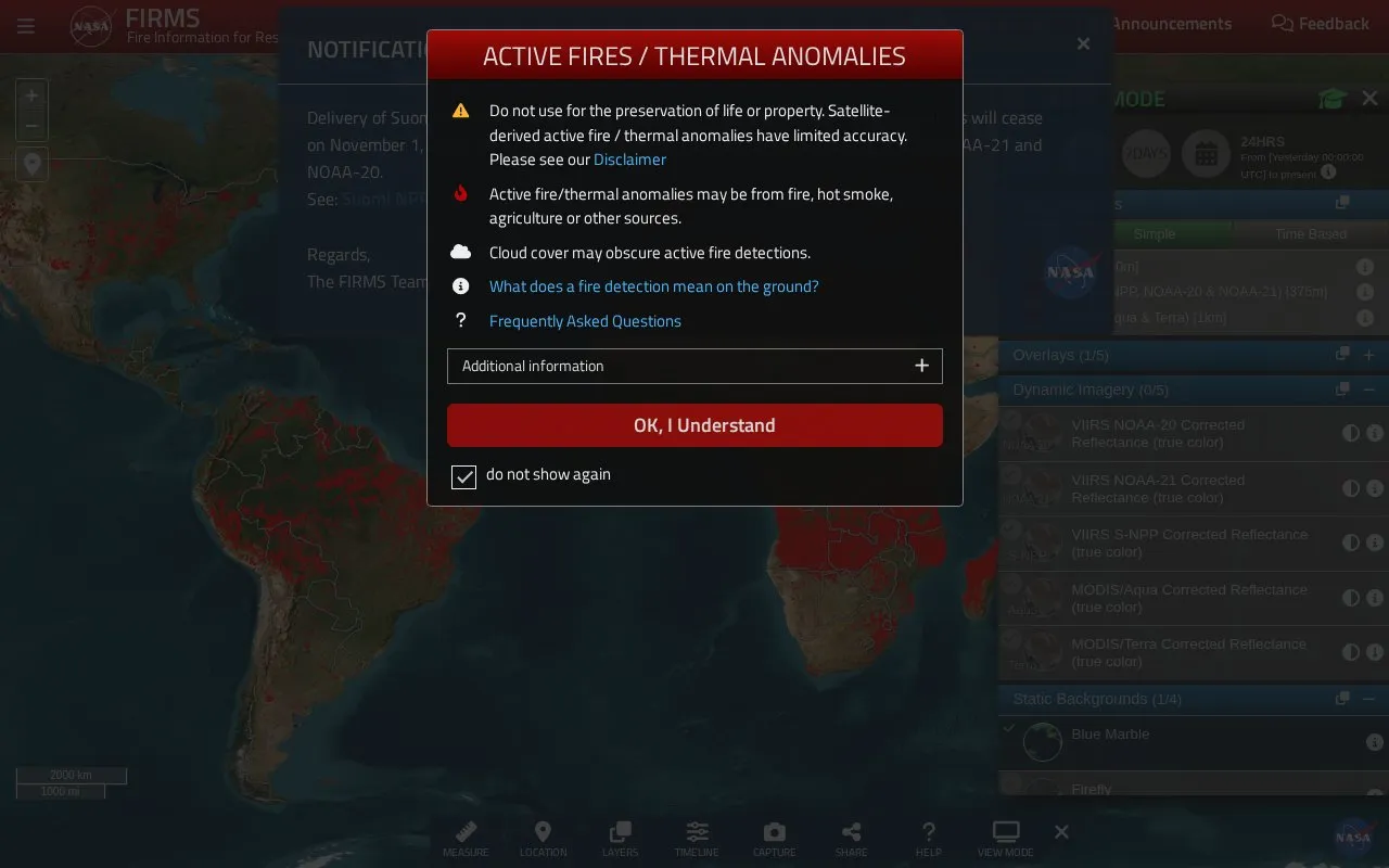
FIRMS, the Fire Information for Resource Management System from NASA LANCE, is a source of near-real-time active fire data from MODIS and VIIRS. The source describes it as a global fire map and data resource, aimed at firefighters, scientists and users interested in monitoring fires. Fire data can be viewed on a map or downloaded, and users can subscribe to alerts for an area of interest.
Pricing is not clearly stated.
Key features
- Near-real-time active fire data from MODIS and VIIRS
- Global fire map
- Map view of fire data
- Downloadable fire data
- Email alerts for an area of interest
Best for: Firefighters, scientists, and users interested in monitoring fires.
FIRMS at a glance
- Category
- Travel & Maps › Maps, Navigation & Weather
- Type
- Website
- Pricing
- Not confirmed. Check the site
- Platforms
- Web
- Details verified
- Oct 21, 2026 · Official source
- Open source
- Not stated
- Language
- English
- Last checked
- Oct 6, 2026 · Online when checked
- Listed
- Oct 5, 2026
FIRMS alternatives
Tools and sites you could use instead, ranked by how closely they match.

Xweather displays global weather with real-time radar layers and forecast information.

tornado.live maps tornado warnings and severe weather alerts across the United States.

Browser-based weather toolkit for NEXRAD radar parsing and plotting, with radar products, velocity dealiasing, weather alerts, map layers and METAR station data.

Lightning Maps displays lightning strikes in real time and provides maps and apps from a community project.

NASA Earthdata helps users search, discover, visualize, refine, and access NASA Earth science data.
Popular in Maps, Navigation & Weather
Well-known listings from the same topic.
OpenWeatherMapopenweathermap.org511on.ca511on.caWeather History & Data Archivewunderground.com/historyORBISorbis.stanford.eduEarth Engine Datasetdevelopers.google.com/earth-engine/datasetsAP Transitaptransit.co


Is something wrong or out of date?
Tell us and an editor will check it.
Own this website?
Claim this listing
Claim the listing and suggest updates yourself. An editor checks every claim first.