

NASA’s climate resources explain Earth’s changing climate and its study through the agency’s science programs.
NASA Earthdata
NASA Earthdata helps users search, discover, visualize, refine, and access NASA Earth science data.
About NASA Earthdata
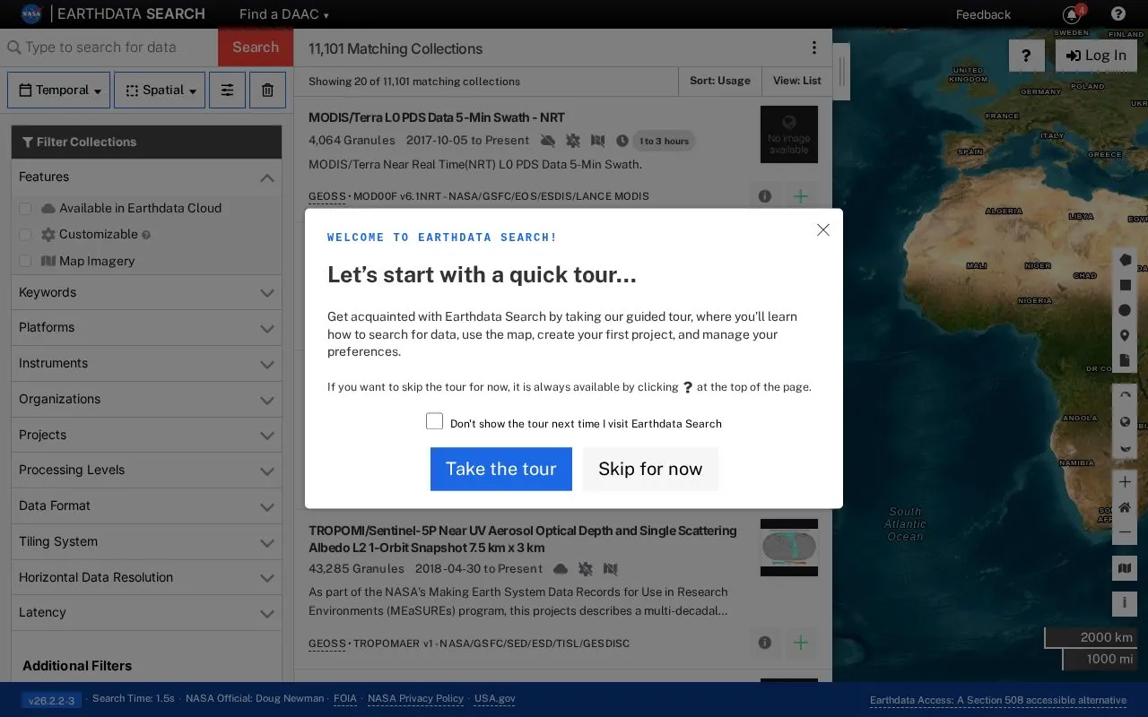
Earthdata Search is a browser interface for NASA Earth Observation data. It lets users search, discover, visualize, refine and access datasets in the browser. Use requires a JavaScript-aware browser with JavaScript enabled, and outdated browsers must be upgraded. A Section 508 accessible alternative called Earthdata Access is listed.
Pricing is not clearly stated.
NASA Earthdata at a glance
- Category
- Travel & Maps › Maps, Navigation & Weather
- Type
- Website
- Pricing
- Not confirmed. Check the site
- Platforms
- Web
- Details verified
- Oct 22, 2026 · Official source
- Open source
- Not stated
- Language
- English
- Last checked
- Oct 5, 2026 · Online when checked
- Listed
- Oct 5, 2026
NASA Earthdata alternatives
Tools and sites you could use instead, ranked by how closely they match.

NASA Global Maps show how key parts of Earth’s climate system change from month to month.

NCEI maps and geospatial tools visualize data types together and relate variables to specific locations.

NASA FIRMS provides near-real-time active fire data from MODIS and VIIRS through downloads, maps, and area-based email alerts.
Pick
24 alternatives
The Google Earth Engine Data Catalog combines satellite imagery and geospatial datasets for analysis of changes and trends on Earth.
Pick
17 alternatives
Light Pollution Map uses NASA data to display global light pollution and sky brightness layers.
Popular in Maps, Navigation & Weather
Well-known listings from the same topic.
OpenWeatherMapopenweathermap.org511on.ca511on.caWeather History & Data Archivewunderground.com/historyORBISorbis.stanford.eduAP Transitaptransit.coGPS Visualizergpsvisualizer.com


Is something wrong or out of date?
Tell us and an editor will check it.
Own this website?
Claim this listing
Claim the listing and suggest updates yourself. An editor checks every claim first.