
AI Editor lets users browse satellite imagery and predicted map features.
Earth Engine Dataset
The Google Earth Engine Data Catalog combines satellite imagery and geospatial datasets for analysis of changes and trends on Earth.
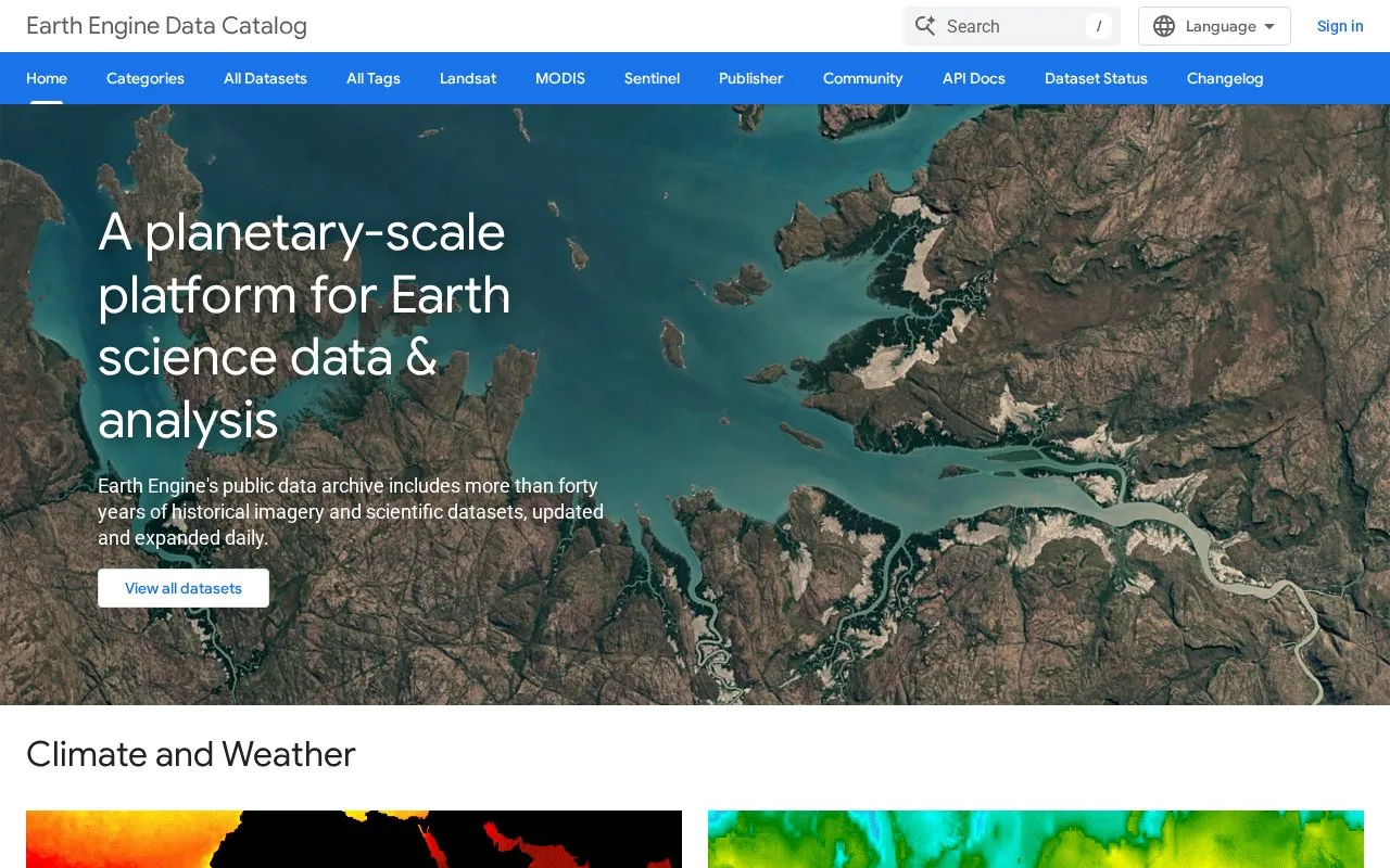
About Earth Engine Dataset
The Earth Engine Data Catalog is a public archive from Google for Developers that combines satellite imagery and geospatial datasets. It includes more than forty years of historical imagery and scientific datasets, and is updated and expanded daily.
Visitors can browse datasets by topic, including surface temperature, climate, atmospheric data, weather, Landsat, Sentinel, MODIS, high-resolution imagery, terrain, land cover, agriculture, and other geophysical data. The catalog lists sources such as MODIS, ASTER, AVHRR, Landsat thermal data, NOAA forecast systems, Sentinel-1, -2 and -3, SRTM elevation models, and USDA cropland layers. It is intended to support analysis of changes and trends on Earth, such as detecting changes, mapping trends, and quantifying differences on the surface.
The catalog suits scientists, researchers, and developers who work with Earth science data and need centralized access to imagery and geospatial datasets for analysis.
Key features
- Browse more than forty years of historical imagery and datasets
- Filter datasets by climate, weather, terrain, and land cover
- Access Landsat imagery recorded from 1972 to present
- View Sentinel-1, Sentinel-2, and Sentinel-3 data
- Find MODIS daily imagery and derived products
- Explore elevation models including 30-meter SRTM data
Best for: Scientists, researchers, and developers who need satellite imagery and geospatial datasets for Earth analysis.
Good for
- Archive covers more than forty years of imagery
- Datasets are updated and expanded daily
- Covers many topics from climate to land cover
- Includes Landsat, Sentinel, and MODIS collections
Earth Engine Dataset at a glance
- Category
- Travel & Maps › Maps, Navigation & Weather
- Type
- Website
- Pricing
- Not confirmed. Check the site
- Platforms
- Android, Web
- Open source
- Not stated
- Language
- English
- Good for
- Developers
- Last checked
- Oct 6, 2026 · Online when checked
- Listed
- Oct 5, 2026
Earth Engine Dataset alternatives
Tools and sites you could use instead, ranked by how closely they match.

Soar provides interactive and historical maps for users to explore and download.

The Kepler.gl tool is an open-source geospatial analysis system for working with large datasets.
Open source
17 alternativesGlobal Wetlands collects and shares information about tropical wetlands in a visual map, including wetland and peat layers.
Free

GeoSeer searches for spatial web services and GIS datasets, including WMS, WFS, WCS, and WMTS.

Copernicus Browser lets users browse and view satellite imagery and related Earth observation data.
Popular in Maps, Navigation & Weather
Well-known listings from the same topic.
OpenWeatherMapopenweathermap.org511on.ca511on.caFIRMSfirms.modaps.eosdis.nasa.gov/mapWeather History & Data Archivewunderground.com/historyORBISorbis.stanford.eduAP Transitaptransit.co


Earth Engine Dataset FAQ
What is the Earth Engine Data Catalog?
It is a public archive of satellite imagery and geospatial datasets for analysis of changes and trends on Earth.
What types of datasets are included?
It includes temperature, climate, atmosphere, weather, Landsat, Sentinel, MODIS, terrain, land cover, agriculture, and night-time imagery.
Who is the catalog for?
It is made available for scientists, researchers, and developers working with Earth science data.
How often is the catalog updated?
The public data archive is updated and expanded daily.
Is something wrong or out of date?
Tell us and an editor will check it.
Own this website?
Claim this listing
Claim the listing and suggest updates yourself. An editor checks every claim first.