
The Google Earth Engine Data Catalog combines satellite imagery and geospatial datasets for analysis of changes and trends on Earth.
Pick
17 alternativesGlobal Wetlands collects and shares information about tropical wetlands in a visual map, including wetland and peat layers.
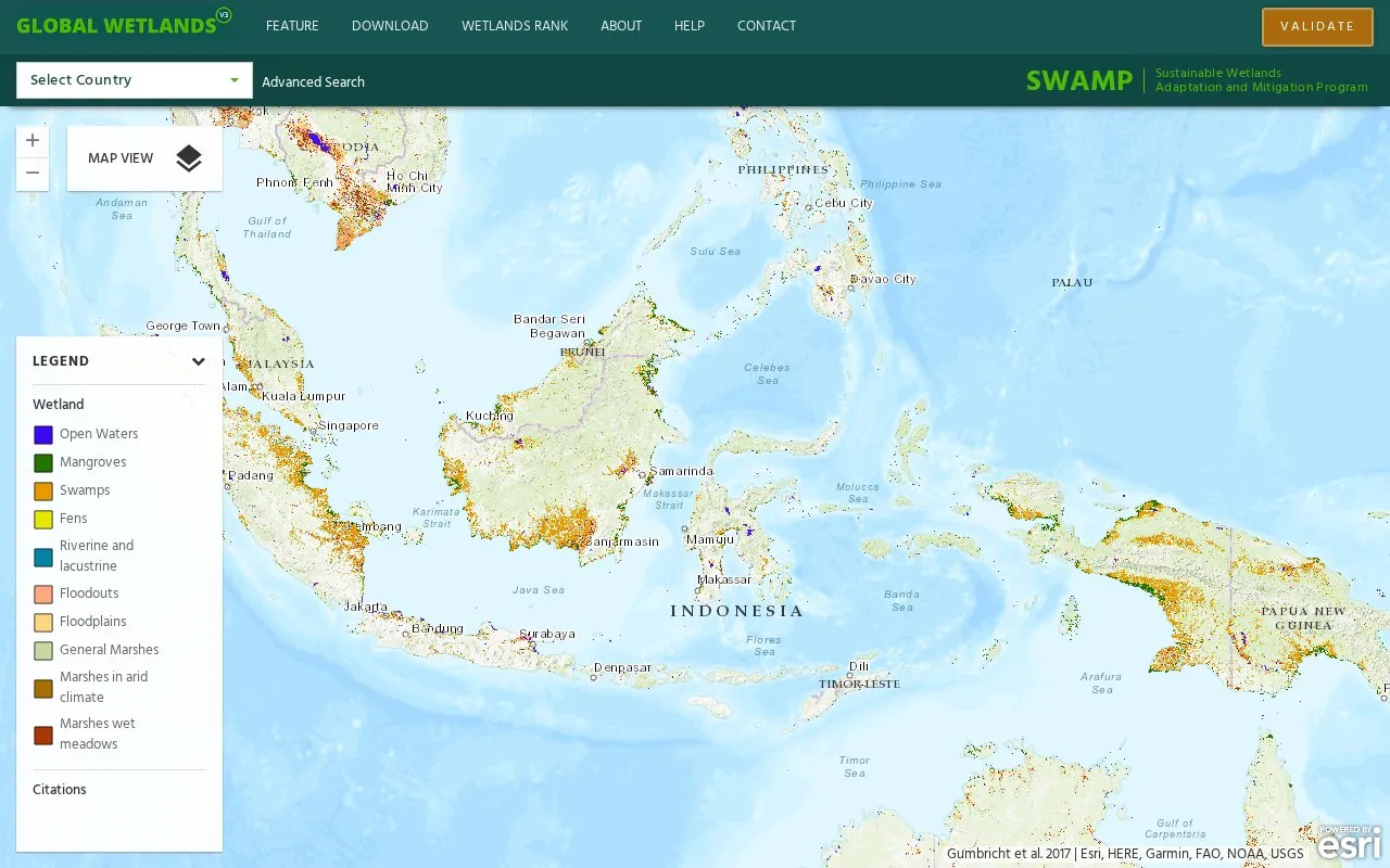
Global Wetlands V3 is an interactive web map of tropical and subtropical wetlands and peatlands. It is produced by SWAMP, a collaboration between CIFOR and the US Forest Service. Users can explore wetland, peat and peat depth layers, view country and sub-national wetland profiles, rank countries by wetland metrics, and download datasets in GeoTIFF format. Coverage runs from 40°N to 60°S, excluding small islands, and the estimates come from a hydro-geomorphological model.
Tools and sites you could use instead, ranked by how closely they match.
The Google Earth Engine Data Catalog combines satellite imagery and geospatial datasets for analysis of changes and trends on Earth.
Light Pollution Map uses NASA data to display global light pollution and sky brightness layers.
World Population Density maps population patterns and urban regions using Global Human Settlement Layer data.
Xweather displays global weather with real-time radar layers and forecast information.
Well-known listings from the same topic.
Tell us and an editor will check it.
Claim the listing and suggest updates yourself. An editor checks every claim first.


