

The Google Earth Engine Data Catalog combines satellite imagery and geospatial datasets for analysis of changes and trends on Earth.
Pick
17 alternativesNukeSim combines a nuclear effects simulator, global arsenal data, analysis, and external nuclear news.
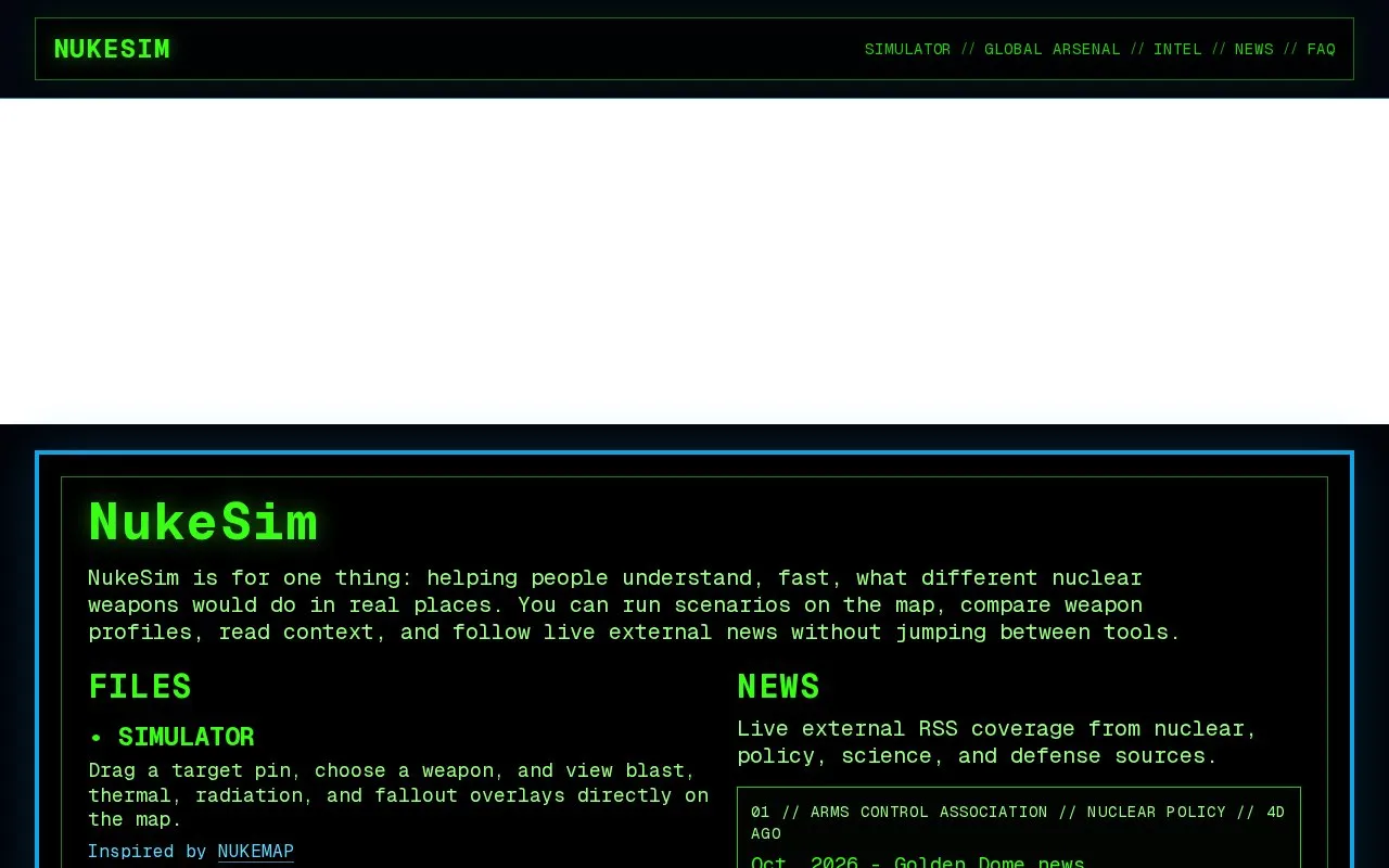
NukeSim is a website for exploring what different nuclear weapons would do in specific locations. Users place a target pin on a map, choose a weapon, and view blast, thermal, radiation, and fallout overlays. The site is described as inspired by NUKEMAP.
The site also includes a database of active and retired nuclear weapons, a set of educational articles written by the site, and a news section that displays an RSS feed of nuclear, policy, science, and defense coverage from external sources. A legend on the homepage explains what each overlay represents, including fireball, blast rings, thermal rings, radiation rings, and fallout.
Tools and sites you could use instead, ranked by how closely they match.
The Google Earth Engine Data Catalog combines satellite imagery and geospatial datasets for analysis of changes and trends on Earth.
NUKEMAP visualizes the effects of nuclear detonations, with controls for selecting a location and exploring the resulting area.
Bomb Blast visualizes the effects of a low-yield nuclear weapon over a selected area.
Macrostrat supports geological data exploration and analysis, with regional rock columns and mapped rock units.
Light Pollution Map uses NASA data to display global light pollution and sky brightness layers.
World Population Density maps population patterns and urban regions using Global Human Settlement Layer data.
Well-known listings from the same topic.
Tell us and an editor will check it.
Claim the listing and suggest updates yourself. An editor checks every claim first.


