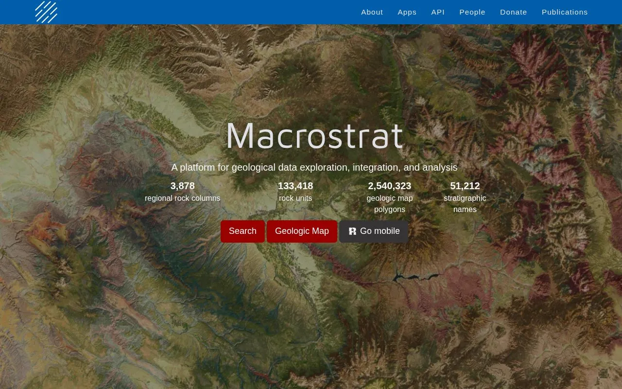
Macrostrat is a platform for geological data exploration, integration, and analysis. It aggregates data on the spatial and temporal distribution of sedimentary, igneous, and metamorphic rocks, listing 1,400 regional rock columns, 33,903 rock units, 2,500,000 geologic map polygons, 51,212 stratigraphic names, and over 225 source maps.
Users can search the geologic map, follow links between map polygons, column polygons, stratigraphic name lexicons, geochronological intervals, and the xDD digital library, and retrieve data through an API. Data are provided under a CC-BY-4.0 license that requires attribution, and interactive applications are designed for educational and research purposes.
Key features
Search regional rock columns and mapped rock units
Explore geologic map with over 225 source maps
Link map polygons to stratigraphic names and time intervals
Access links to xDD digital library and reading system
Retrieve database contents through API for analysis
Use companion mobile field apps like Rockd
Best for: Students, educators, and researchers working with geologic maps and stratigraphic data.
Good for
All data available under CC-BY-4.0 license
API provides retrieval of database contents for analysis
Links map polygons to columns, name lexicons, and time intervals
Watch out for
Use in publications requires acknowledgment of Macrostrat and citation of original sources
All data in the database are freely available via the API for retrieval for analysis or application creation.
How should I cite Macrostrat?
Acknowledge Macrostrat by name in presentations. In publications, acknowledge Macrostrat as the source, cite Peters et al. (2018), and include citations to the original references accessible from the API.
Can a geologic survey contribute maps?
Yes. State or national geologic surveys are invited to get in touch to collaborate and help publicize their maps.
Is something wrong or out of date?
Tell us and an editor will check it.
Own this website?
Claim the listing and suggest updates yourself. An editor checks every claim first.