

This Android app edits OpenStreetMap data by asking users simple questions about places.
Open source
17 alternativesOpen Infrastructure Map displays infrastructure data from OpenStreetMap on a global map.
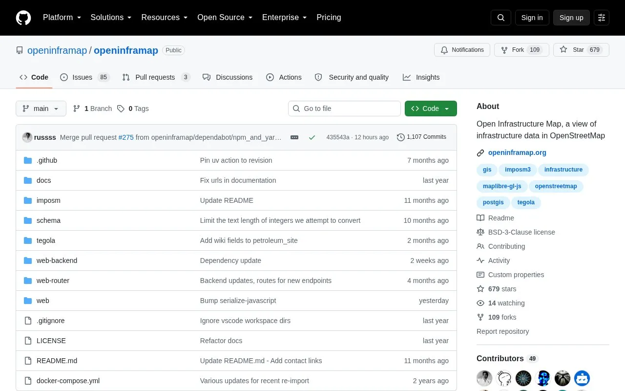
Open Infrastructure Map is a map showing the world's infrastructure using data from OpenStreetMap. This page is the project's main GitHub repository, where the code is published under the BSD-3-Clause license. The project aims to be multilingual, and translation work is handled on Weblate. Visitors can use the repository to read how the map is built or to contribute to it.
Pricing is not clearly stated.
Tools and sites you could use instead, ranked by how closely they match.
This Android app edits OpenStreetMap data by asking users simple questions about places.
World Monitor is a dashboard for real-time news aggregation, geopolitical monitoring, and infrastructure tracking.
This GitHub list curates OpenStreetMap projects, tools, and resources for people working with or exploring OpenStreetMap.
Supercell Wx visualizes live and archived NEXRAD radar data and severe weather alerts on a responsive map.
A real-time three-dimensional map visualizes Tokyo’s public transport system and its movement.
GeoShare is an Android app for opening map links in other map apps and copying coordinates.
Well-known listings from the same topic.
Tell us and an editor will check it.
Claim the listing and suggest updates yourself. An editor checks every claim first.


