

Open Infrastructure Map displays infrastructure data from OpenStreetMap on a global map.
Open source
24 alternativesThis Android app edits OpenStreetMap data by asking users simple questions about places.
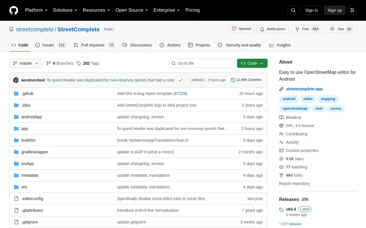
StreetComplete is an open source Android app for editing OpenStreetMap data. It finds nearby places that need a survey and marks them as quests on its map. Users answer a simple question on site, such as "What is the name of this road?", and the answer is processed and uploaded directly into the OpenStreetMap database. The app is aimed at people who want to contribute to OpenStreetMap without knowing its tagging schemes.
Quests are limited to questions that can be answered simply, so the app does not cover every kind of map edit. Edits are grouped into changesets and made through the user's own OpenStreetMap account. The homepage states that the app can be used offline and uses data economically. The background map comes from JawgMaps, an external vector tile service.
Tools and sites you could use instead, ranked by how closely they match.
Open Infrastructure Map displays infrastructure data from OpenStreetMap on a global map.
This GitHub list curates OpenStreetMap projects, tools, and resources for people working with or exploring OpenStreetMap.
Supercell Wx visualizes live and archived NEXRAD radar data and severe weather alerts on a responsive map.
GeoShare is an Android app for opening map links in other map apps and copying coordinates.
An Android app provides de-Googled maps and turn-by-turn navigation using MapLibre and Overture points of interest.
A real-time three-dimensional map visualizes Tokyo’s public transport system and its movement.
Well-known listings from the same topic.
Tell us and an editor will check it.
Claim the listing and suggest updates yourself. An editor checks every claim first.


