

miniLondon3d displays real-time positions of London Underground trains on a three-dimensional map.
Mini Tokyo 3d
A real-time three-dimensional map visualizes Tokyo’s public transport system and its movement.
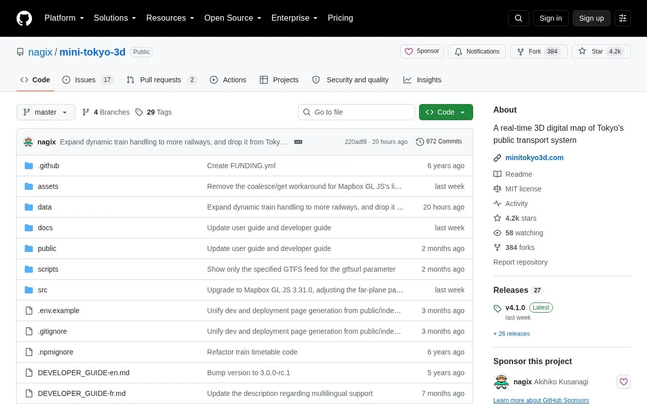
About Mini Tokyo 3d
Mini Tokyo 3D is an open-source project for a real-time 3D digital map of Tokyo's public transport system. It uses station information, timetables and live train location and status data for the Greater Tokyo area. A live demo is available. Building it requires access tokens for the public transport data and Mapbox, plus the latest Node.js; the build produces a static web page.
Pricing is not clearly stated.
Key features
- Pan, zoom, tilt, rotate and box zoom
- Track trains, aircraft and stations
- Underground, playback and eco modes
- Route search panel and layer display settings
- Camera tracking mode settings
- Fullscreen toggle
- User interface and map labels in several languages
- User guides in English, Japanese, French and Simplified Chinese
Best for: People who want to view Tokyo public transport in 3D, and developers who want to build the map from its source.
Good for
- Released under the MIT license.
Mini Tokyo 3d at a glance
- Category
- Travel & Maps › Maps, Navigation & Weather
- Type
- Open-source project
- Pricing
- Not confirmed. Check the site
- Platforms
- Web
- Details verified
- Oct 22, 2026 · Official source
- Open source
- Yes · Source code
- Language
- English
- Last checked
- Oct 5, 2026 · Online when checked
- Listed
- Oct 5, 2026
Mini Tokyo 3d alternatives
Tools and sites you could use instead, ranked by how closely they match.

Hong Kong Transit 3D simulates train schedules in a real-time three-dimensional map.

World Monitor is a dashboard for real-time news aggregation, geopolitical monitoring, and infrastructure tracking.
Open source
24 alternatives
The Kepler.gl tool is an open-source geospatial analysis system for working with large datasets.
Open source
17 alternatives
TRAVIC visualizes transit vehicle movements using data published by transport agencies, mostly from schedules.

Supercell Wx visualizes live and archived NEXRAD radar data and severe weather alerts on a responsive map.
FreeOpen source
23 alternativesPopular in Maps, Navigation & Weather
Well-known listings from the same topic.
OpenWeatherMapopenweathermap.org511on.ca511on.caFIRMSfirms.modaps.eosdis.nasa.gov/mapWeather History & Data Archivewunderground.com/historyORBISorbis.stanford.eduEarth Engine Datasetdevelopers.google.com/earth-engine/datasets


Is something wrong or out of date?
Tell us and an editor will check it.
Own this website?
Claim this listing
Claim the listing and suggest updates yourself. An editor checks every claim first.