

TRAVIC visualizes transit vehicle movements using data published by transport agencies, mostly from schedules.
Wikiroutes
WikiRoutes maps urban public transport and provides schedules, route search, and line distances.
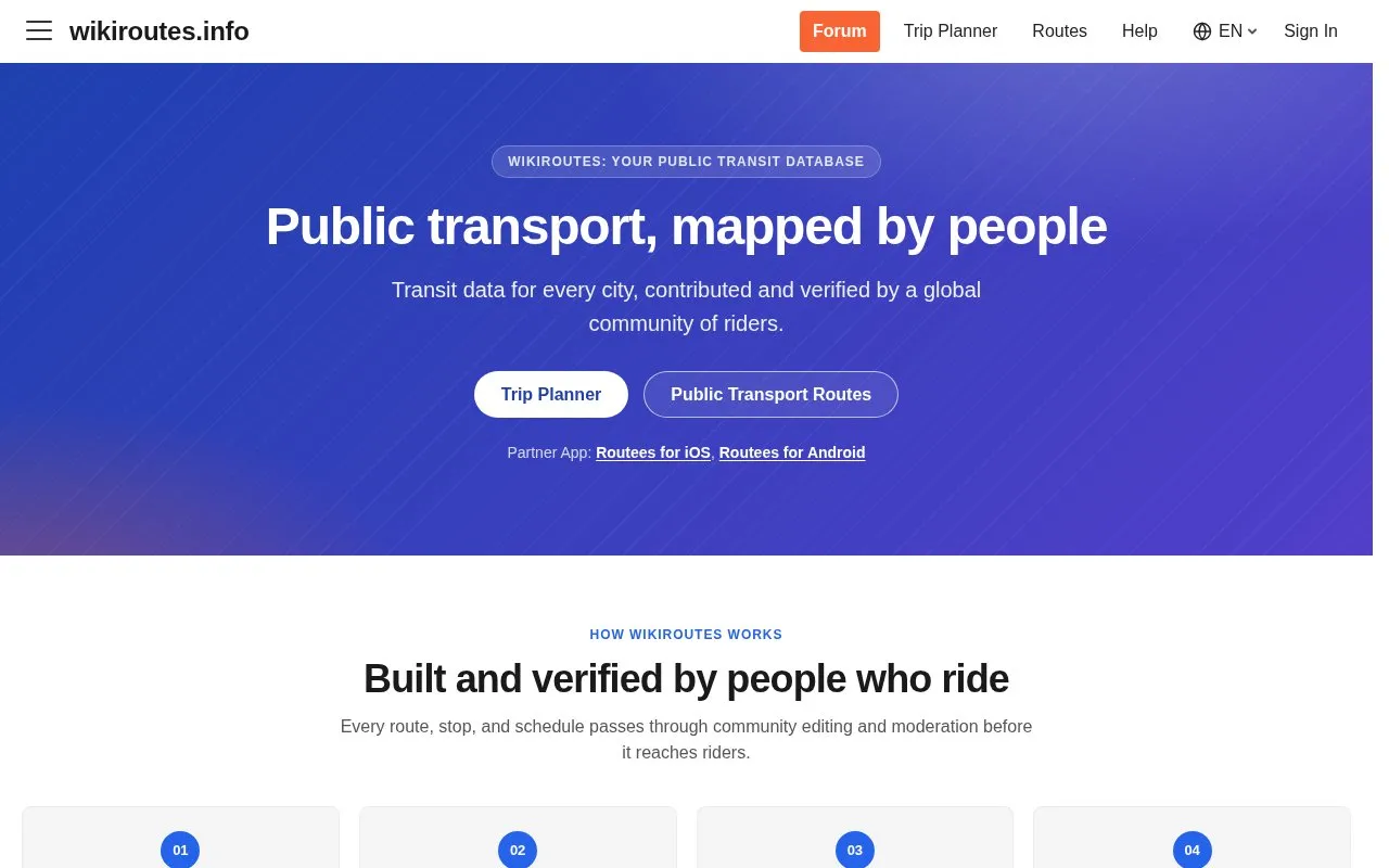
About Wikiroutes
WikiRoutes maps urban public transport, including buses, trolleybuses, trams and metro lines. It provides interactive maps with trajectories, route search with a trip planner, schedules and stop lists by direction, and line distances.
Transit data is contributed and reviewed by riders through proposal, discussion and voting, with a decision after 10 votes. The data is crowdsourced rather than agency-sourced, and availability depends on covered cities. Route lookup works without signup, while contributors sign up to add or correct data.
Key features
- Interactive map showing bus, trolleybus, tram lines and trajectories
- Route search and trip planner for urban public transport
- Schedules and stop lists by line and direction
- Line distance display for transit routes
- Community proposal system to add or correct routes and stops
- Voting review with decision after 10 votes
Best for: People who use buses, trams, trolleybuses, or metro lines in covered cities and want maps, schedules, and route search.
Good for
- No signup needed to look up routes and plan trips
- Works on web with companion Routees apps for iOS and Android
- Allows riders to submit corrections without special tools
Watch out for
- Data is crowdsourced rather than agency-sourced
- Edits require discussion and 10 votes before a decision
Wikiroutes at a glance
- Website
- wikiroutes.info
- Category
- Travel & Maps › Maps, Navigation & Weather
- Type
- Website
- Pricing
- Not confirmed. Check the site
- Platforms
- Android, iOS, Web
- Open source
- Not stated
- Language
- English
- Last checked
- Oct 5, 2026 · Online when checked
- Listed
- Oct 5, 2026
Wikiroutes alternatives
Tools and sites you could use instead, ranked by how closely they match.

A real-time three-dimensional map visualizes Tokyo’s public transport system and its movement.
Open source
24 alternatives
Urbex maps more than 1,000 urban exploration locations and asks visitors to respect laws and private property.

World Population Density maps population patterns and urban regions using Global Human Settlement Layer data.

Falling Fruit maps collaborative urban harvest locations and food resources for nearby users.

Livecorona.co.kr shares COVID-19 information, health guidance, case statistics, and spread maps based on public health agency data.
Popular in Maps, Navigation & Weather
Well-known listings from the same topic.
OpenWeatherMapopenweathermap.org511on.ca511on.caFIRMSfirms.modaps.eosdis.nasa.gov/mapWeather History & Data Archivewunderground.com/historyORBISorbis.stanford.eduEarth Engine Datasetdevelopers.google.com/earth-engine/datasets


Wikiroutes FAQ
How do I add or fix a route or stop?
Submit a proposal, other editors discuss it in comments, experienced editors vote, and a decision is made after 10 votes. Accepted changes appear immediately.
Do I need to sign up to plan a trip?
No. Trip planning works without signup.
Where can I get agency-sourced transit data instead of crowdsourced edits?
The team points to BusMaps.com as a separate project for validated public transit data.
Is something wrong or out of date?
Tell us and an editor will check it.
Own this website?
Claim this listing
Claim the listing and suggest updates yourself. An editor checks every claim first.