

The Google Earth Engine Data Catalog combines satellite imagery and geospatial datasets for analysis of changes and trends on Earth.
Pick
17 alternativesThe Kepler.gl tool is an open-source geospatial analysis system for working with large datasets.
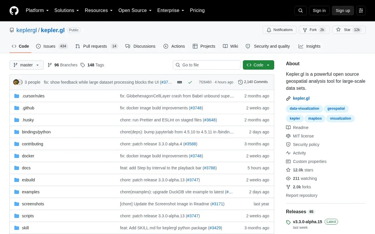
Kepler.gl is an open-source, web-based application for visual exploration of large-scale geolocation data sets. Built on MapLibre GL and deck.gl, it can render millions of points representing thousands of trips and perform spatial aggregations on the fly.
It is also distributed as a customizable React component that uses Redux for state and data flow and can be embedded in other React-Redux applications. Use requires a Mapbox Access Token, and use as a dependency requires Node 20.19.3 or a supported LTS.
Tools and sites you could use instead, ranked by how closely they match.
The Google Earth Engine Data Catalog combines satellite imagery and geospatial datasets for analysis of changes and trends on Earth.
NCEI maps and geospatial tools visualize data types together and relate variables to specific locations.
Ukraine Live Cams presents a 3D map of live camera locations in Ukraine, with controls for navigating and viewing cameras.
GeoSeer searches for spatial web services and GIS datasets, including WMS, WFS, WCS, and WMTS.
A real-time three-dimensional map visualizes Tokyo’s public transport system and its movement.
This GitHub list curates OpenStreetMap projects, tools, and resources for people working with or exploring OpenStreetMap.
Well-known listings from the same topic.
Tell us and an editor will check it.
Claim the listing and suggest updates yourself. An editor checks every claim first.


