

Mini Map Macau visualizes transit schedules and city layers, with simulated vehicle positions and separately updated parking availability.
Mini Macau
Mini Macau visualizes Macau transit and aviation in 3D, using schedules to simulate rail, buses, ferries, and airport flights.
About Mini Macau
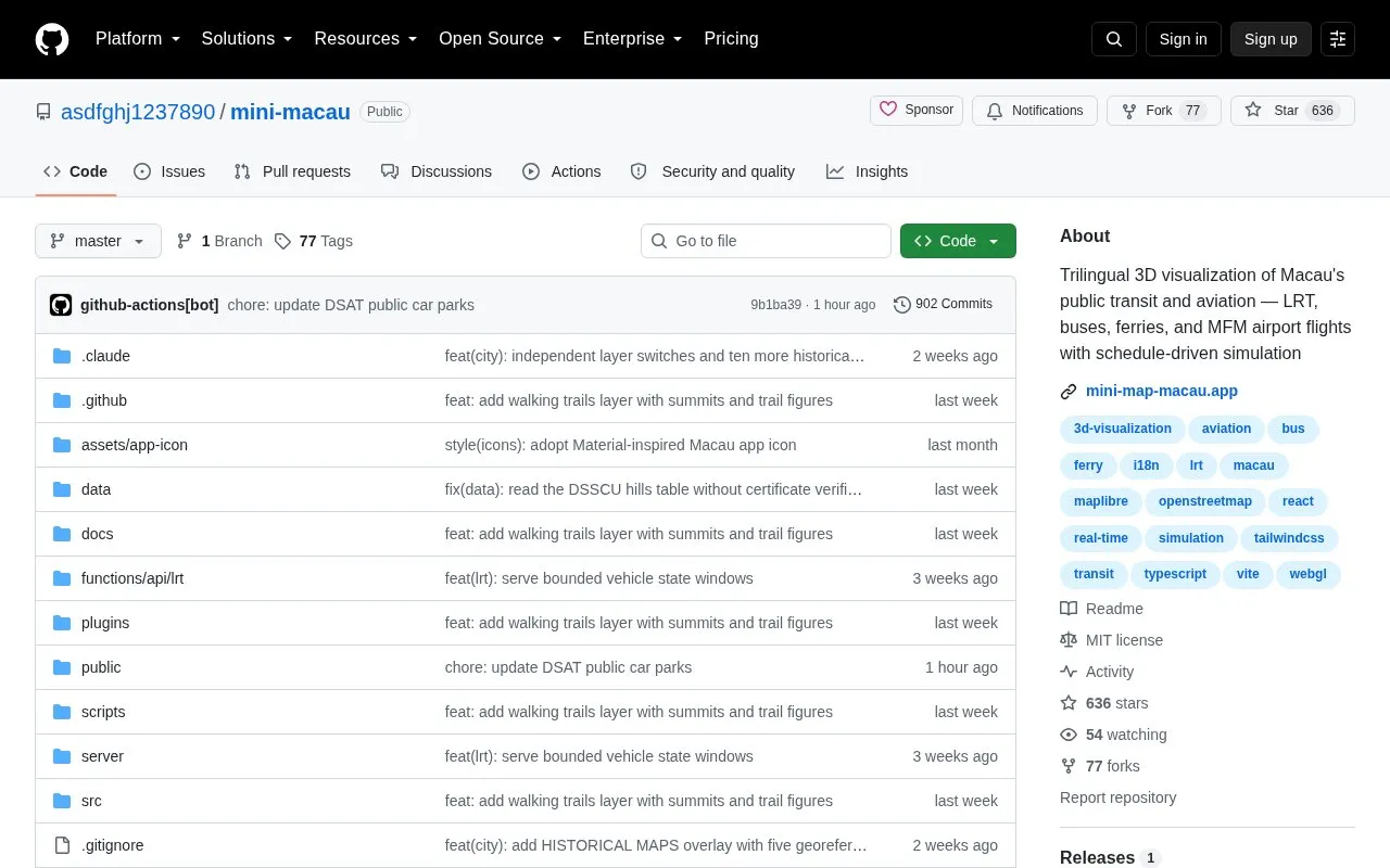
Mini Macau is an open-source 3D visualization of Macau's public transit and aviation. It shows LRT lines, bus routes, ferry routes, and MFM airport flights moving on a 3D map in a timetable-driven simulation, with click-to-follow tracking, ETAs, and playback controls.
LRT and bus movements use simulated, manually regenerated timetables, while flight and ferry data refresh on daily/monthly sync schedules. It also includes city layers from Macau open data, such as schools, housing estates, toilets, temples and churches, trails, car parks with live vacancy, and waste collection points, with labels in English, Traditional Chinese and Portuguese.
Key features
- 3D LRT with 3 lines, 15 stations and elevated viaducts
- 92 bus routes snapped to roads including harbour bridges
- About 160 MFM flights synced daily with stands and taxi paths
- 6 ferry routes linking Macau with Hong Kong and Shenzhen
- Timetable playback with 1x-60x speed and date-time picker
- Trilingual labels in English, Traditional Chinese and Portuguese
Best for: People who want to explore Macau's LRT, buses, ferries and flights in 3D.
Good for
- Combines LRT, buses, ferries and airport flights in one 3D view
- Uses track, road-snapped and waypoint geometry for vehicle movement
- Adds Macau open-data layers such as schools, housing and car parks
Watch out for
- LRT and bus positions are simulated from manually regenerated timetables
- Flight and ferry data refresh on daily/monthly sync schedules
Mini Macau at a glance
- Category
- Travel & Maps › Maps, Navigation & Weather
- Type
- Open-source project
- Pricing
- Not confirmed. Check the site
- Open source
- Yes · Source code
- Language
- English
- Last checked
- Oct 5, 2026 · Online when checked
- Listed
- Oct 5, 2026
Mini Macau alternatives
Tools and sites you could use instead, ranked by how closely they match.

AnyTrip tracks trains, buses, ferries, and light rail in real time across its supported region.

Supercell Wx visualizes live and archived NEXRAD radar data and severe weather alerts on a responsive map.
FreeOpen source
23 alternatives
A real-time three-dimensional map visualizes Tokyo’s public transport system and its movement.
Open source
24 alternatives
TRAVIC visualizes transit vehicle movements using data published by transport agencies, mostly from schedules.

Open Infrastructure Map displays infrastructure data from OpenStreetMap on a global map.
Open source
24 alternativesPopular in Maps, Navigation & Weather
Well-known listings from the same topic.
OpenWeatherMapopenweathermap.org511on.ca511on.caFIRMSfirms.modaps.eosdis.nasa.gov/mapWeather History & Data Archivewunderground.com/historyORBISorbis.stanford.eduEarth Engine Datasetdevelopers.google.com/earth-engine/datasets


Mini Macau FAQ
How fresh is the data?
LRT and buses use simulated, manually regenerated timetables, while flights and ferries refresh on daily/monthly sync schedules.
What languages does it support?
Labels are available in English, Traditional Chinese and Portuguese.
Is something wrong or out of date?
Tell us and an editor will check it.
Own this website?
Claim this listing
Claim the listing and suggest updates yourself. An editor checks every claim first.