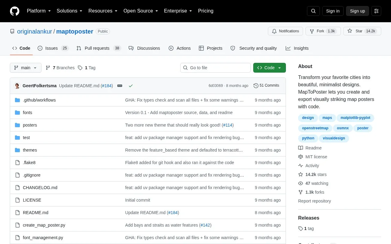
Map to Poster is an open-source Python repository that generates minimalist map posters for cities. The user runs a command-line script with a city and country name, and the script produces an exported poster image in a chosen color theme.
The script takes a required city and country, which are used for geocoding, and offers optional settings for map radius in meters, poster width and height in inches, and an override for the center point by latitude and longitude. Poster width and height are capped at 20 inches. Custom display names can be set in other scripts using fonts from Google Fonts, which are downloaded automatically and cached locally. Running the script requires a Python environment set up with uv or pip and venv.
Key features
Generates a map poster for a city and country named on the command line
Offers selectable color themes, with a default theme and a theme list option
Sets map radius in meters using a distance option
Sets poster width and height in inches, up to 20 inches
Displays city and country names in custom scripts using Google Fonts
Generates posters for all available themes in a single run
Best for: Users comfortable with Python and the command line who want to create printable or digital minimalist city map posters.
Good for
Open source, with the code and a LICENSE file published in the repository
Supports city and country names in non-Latin scripts through custom display names and fonts
Includes a resolution guide with width and height values for common sizes at 300 DPI
Watch out for
Operated from the command line and requires a Python environment to be set up
Poster width and height are limited to a maximum of 20 inches
Fonts for custom display names are downloaded from Google Fonts when first used
Browser-based weather toolkit for NEXRAD radar parsing and plotting, with radar products, velocity dealiasing, weather alerts, map layers and METAR station data.