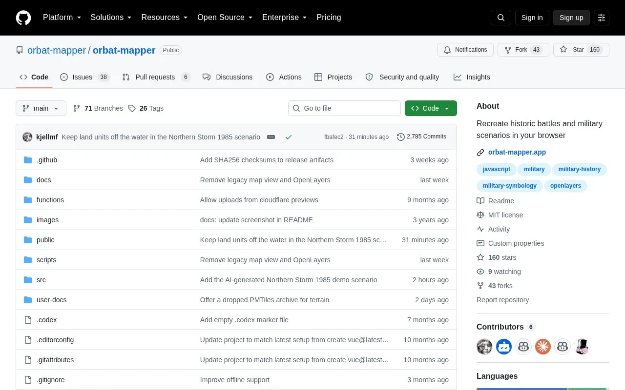
ORBAT Mapper is an open-source, browser-based client-side application for building order of battle (ORBAT) structures and plotting unit locations to recreate historic battles and military scenarios. It is released under an MIT license, permitting free use, modification, and redistribution of its source code. The application can operate without an internet connection via three deployment options: self-hosted with a custom tile server, served from a web server with a local PMTiles basemap archive, or as a standalone single HTML file with a local PMTiles archive. Its place name search function relies on the external Photon service and requires an internet connection in all deployment modes, with no offline replacement available.
Key features
Build order of battle (ORBAT) structures for military scenarios
Plot unit positions on interactive browser-based maps
Recreate historic battles and military scenarios digitally
Operate fully offline with self-hosted or local map data
Run as standalone single HTML file without a web server
Modify and redistribute under open-source MIT license
Best for: Military history enthusiasts, educators, and researchers who need to model historic battles and unit order of battle structures in a browser.
Good for
Open-source MIT license allows free modification and redistribution
Supports fully offline operation with local or self-hosted map data
Provides standalone single-file build for use without a web server
Watch out for
Place name search requires an internet connection with no offline alternative
Project is marked as work in progress with frequent, rapid codebase changes
Offline use requires manual configuration of basemap data sources
Can ORBAT Mapper be used without an internet connection?
Yes, via three deployment modes: self-hosted with a custom tile server, local PMTiles basemap, or standalone single HTML file with local PMTiles. Place name search still requires internet.
What license is ORBAT Mapper released under?
MIT license, which permits free use, modification, and redistribution of the source code.
How can I run a local development version of ORBAT Mapper?
Clone the repository, run pnpm install, then pnpm run dev to start a local server at localhost:5173.
Is something wrong or out of date?
Tell us and an editor will check it.
Own this website?
Claim the listing and suggest updates yourself. An editor checks every claim first.