
LanguageMap is an open-source globe for exploring thousands of languages by family, region, status, and classification.
Linguistic Maps
Linguistic Maps displays languages across maps of five continents and organizes entries by language and region.
About Linguistic Maps
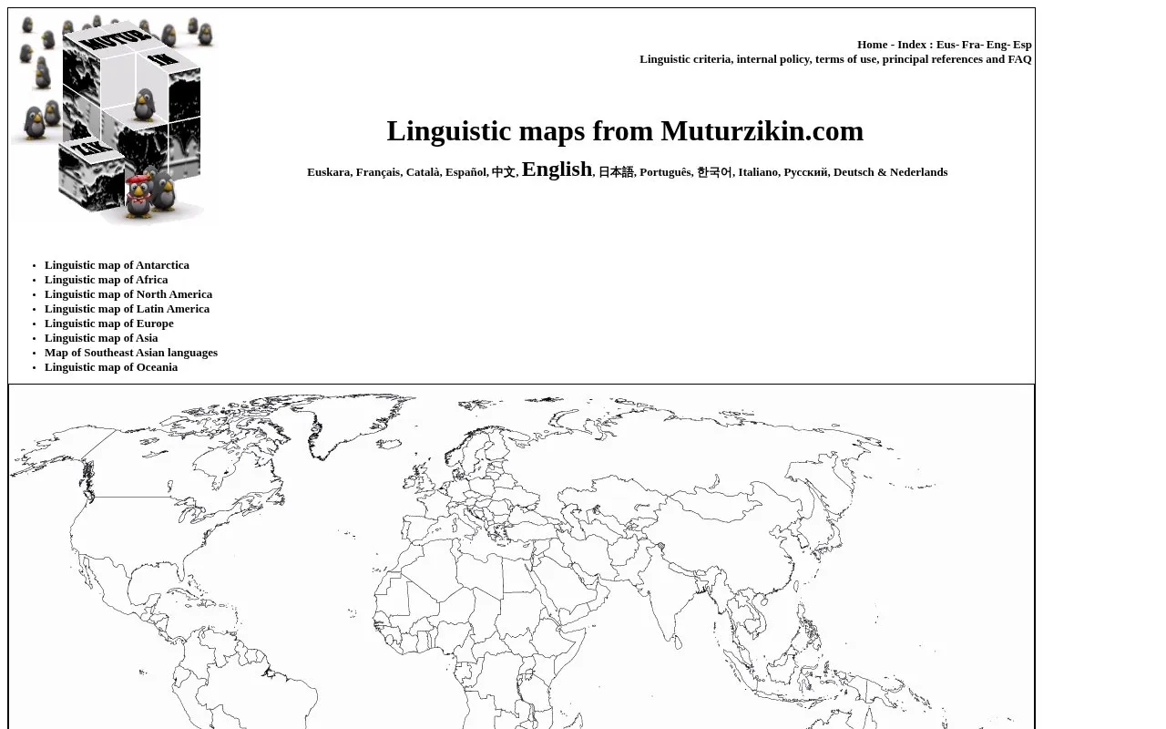
Linguistic Maps from Muturzikin.com shows languages on maps for Africa, America, Asia, Europe, Oceania and Antarctica. Each country map shows linguistic diversity with geographic areas corresponding to each language.
Entries are organized by continent, country and some sub-regions such as Canadian provinces and Southeast Asia. The site interface is available in multiple languages and includes pages on linguistic criteria, references, terms of use and FAQ.
Key features
- Continental maps for Africa, Americas, Asia, Europe, Oceania, and Antarctica
- Country-level maps organized alphabetically with geographic language areas
- Sub-regional maps such as Canadian provinces and Southeast Asia
- Interface in multiple languages including English, Spanish, and French
- Reference pages covering linguistic criteria, sources, and terms of use
Best for: People researching where languages are spoken by country or continent.
Good for
- Provides maps for Africa, America, Asia, Europe, Oceania, and Antarctica
- Organizes maps by continent, country, and sub-region
- Offers interface in multiple languages
Linguistic Maps at a glance
- Website
- muturzikin.com/countries.htm
- Category
- Travel & Maps › Maps, Navigation & Weather
- Type
- Website
- Pricing
- Not confirmed. Check the site
- Platforms
- Web
- Open source
- Not stated
- Last checked
- Oct 5, 2026 · Online when checked
- Listed
- Oct 5, 2026
Linguistic Maps alternatives
Tools and sites you could use instead, ranked by how closely they match.

Wiki-Map displays geolocated Wikipedia articles on a map, with a selectable Wikipedia language.

Native Land Digital helps people explore Indigenous territories, languages, lands, and ways of life through maps and resources.

CellMapper maps cellular towers and coverage from crowdsourced data, with filters for providers and regions.

EuraAtlas presents a historical atlas of Europe with maps of mountains, rivers, and regions.

World Population Density maps population patterns and urban regions using Global Human Settlement Layer data.
Popular in Maps, Navigation & Weather
Well-known listings from the same topic.
OpenWeatherMapopenweathermap.org511on.ca511on.caFIRMSfirms.modaps.eosdis.nasa.gov/mapWeather History & Data Archivewunderground.com/historyORBISorbis.stanford.eduEarth Engine Datasetdevelopers.google.com/earth-engine/datasets


Is something wrong or out of date?
Tell us and an editor will check it.
Own this website?
Claim this listing
Claim the listing and suggest updates yourself. An editor checks every claim first.