

CellMapper maps cellular towers and coverage from crowdsourced data, with filters for providers and regions.
US Crisis Monitor
ACLED’s US Monitor provides coverage of protest and extremist activity in the United States.
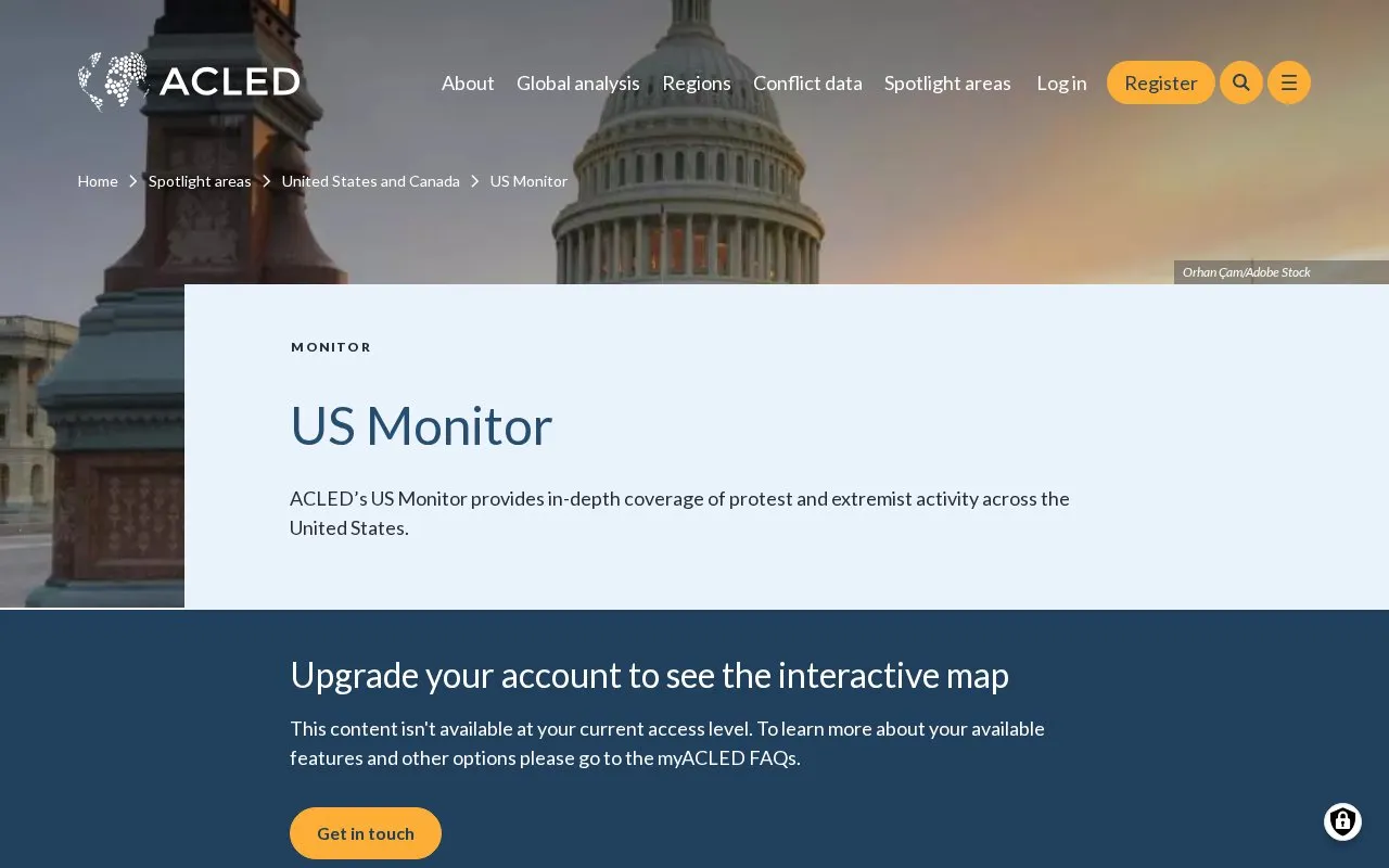
About US Crisis Monitor
US Crisis Monitor is a page from ACLED, a conflict data project, that covers protest and extremist activity in the United States. The homepage presents dated analytical articles with commentary from named ACLED analysts. Recent items cover data center protests, protests against Flock surveillance cameras, ICE arrest totals, and the conflict in Iran and the wider region.
Access is limited. The page says the interactive map requires an upgraded account, and some content is not available at the current access level. Features by access level are described in the myACLED FAQs. Pricing is not stated.
Key features
- Dated analytical articles on US protest and extremist activity
- Commentary from named ACLED analysts on current US events
- Coverage of data center protests and their political and commercial risks
- Tracking of August surge in anti-Flock camera protests
- Reporting on ICE arrest totals and pro-migration demonstration levels
- Interactive map of US activity, available with an upgraded account
Best for: Researchers, journalists, and analysts who follow US protest and extremist activity and want dated commentary from ACLED.
Good for
- Articles are dated and attributed to named ACLED analysts
- Recent items compare current protest levels with earlier records
Watch out for
- The interactive map requires an upgraded account
- Some content is not available at the current access level
US Crisis Monitor at a glance
- Category
- Travel & Maps › Maps, Navigation & Weather
- Type
- Website
- Pricing
- Not confirmed. Check the site
- Platforms
- Web
- Open source
- Not stated
- Language
- English
- Last checked
- Oct 6, 2026 · Online when checked
- Listed
- Oct 5, 2026
US Crisis Monitor alternatives
Tools and sites you could use instead, ranked by how closely they match.

CoverageMap compares cellular coverage from carriers in four countries.

OpenWeather provides APIs for current conditions, forecasts, historical weather, pollution, energy, and environmental data.
FreemiumPick
19 alternatives
ACLED publishes conflict data on political violence and protests around the world.
The Opportunity Atlas maps childhood origins and social mobility outcomes across the United States.

Historic Aerials provides aerial photographs and maps, including historic imagery for locations in the United States.
Popular in Maps, Navigation & Weather
Well-known listings from the same topic.
511on.ca511on.caFIRMSfirms.modaps.eosdis.nasa.gov/mapWeather History & Data Archivewunderground.com/historyORBISorbis.stanford.eduEarth Engine Datasetdevelopers.google.com/earth-engine/datasetsAP Transitaptransit.co


US Crisis Monitor FAQ
Do I need an upgraded account to use the interactive map?
Yes. The page states that the interactive map requires an upgraded account and that some content is not available at the current access level.
Where can I find out which features are included at my access level?
The page directs users to the myACLED FAQs for information about available features and other options.
Is something wrong or out of date?
Tell us and an editor will check it.
Own this website?
Claim this listing
Claim the listing and suggest updates yourself. An editor checks every claim first.