
ORBIS models the ancient Roman world geospatially, with materials for understanding and exploring its network.
Pick
OpenStreetMap provides an editable community map of the world with tools for exploring places.
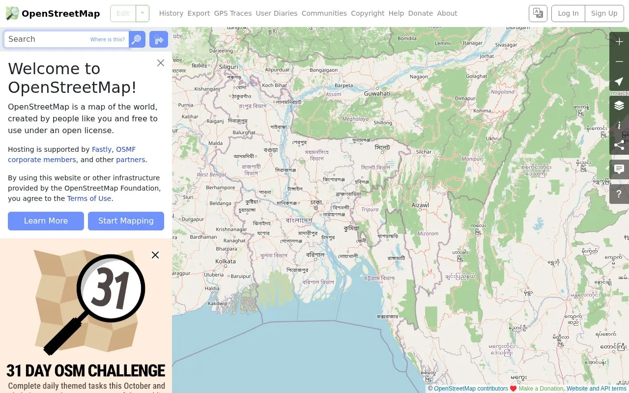
OpenStreetMap is a map of the world created by contributors and free to use under an open license. It provides an editable community map with tools for exploring places.
Use of the website and related infrastructure requires agreement to the Terms of Use.
Tools and sites you could use instead, ranked by how closely they match.
ORBIS models the ancient Roman world geospatially, with materials for understanding and exploring its network.
ExoRoad helps users compare U.S. counties and states when exploring places to live.
The app surveys places and lets contributors add geographic information to OpenStreetMap.
OpenTopoMap displays topographic maps built from OpenStreetMap data for exploring terrain and locations.
Based on OpenStreetMap, OsmAPP provides a world map with search, points of interest, and in-app editing.
This uMap collection presents a map of military bases around the world using OpenStreetMap layers.
Well-known listings from the same topic.
Tell us and an editor will check it.
Claim the listing and suggest updates yourself. An editor checks every claim first.


