

Android users can customize app icons with this monochrome line-art icon pack.
Flowx
Flowx provides weather forecasts and lets users view GFS model data while offline.
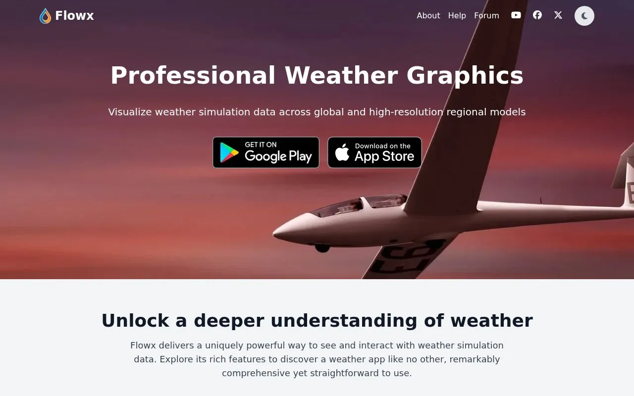
About Flowx
Flowx is a weather forecast and visualization app for Android, iOS, and web. It provides access to global models such as GFS, ECMWF, ICON, and GDPS and regional models such as HRRR, NAM, HRDPS, Arome, ICON-D2, and HARMONIE, with offline access to GFS and other listed model data.
Users can compare model outputs on maps and in graphs, view data including radar, air quality, marine waves and currents, smoke, UV, visibility, storm indices, and cloud layers, and use tools for sun and moon information, hurricane tracks, and graph editing. Forecast maps can be moved through time by swiping.
Key features
- Access global and regional models including GFS and HRRR
- Compare model outputs on maps and in graphs
- Offline viewing of GFS and other model data
- View marine data for waves, currents, and sea temperatures
- View storm indices including CAPE and Lifted Index
- Display hurricane tracks
Best for: Sailors, hikers, and photographers who want to compare multiple weather models and data layers.
Good for
- States no ads and no tracking
- Offers offline access to multiple weather models
- Includes global models and high-resolution regional models
Flowx at a glance
- Website
- flowx.io
- Category
- Mobile Apps › Android Apps
- Type
- Website
- Pricing
- Not confirmed. Check the site
- Platforms
- Android, iOS, Web
- Open source
- Not stated
- Language
- English
- Last checked
- Oct 5, 2026 · Online when checked
- Listed
- Oct 5, 2026
Flowx alternatives
Tools and sites you could use instead, ranked by how closely they match.

Alembicons creates Android icon packs and works as a companion app for the Arcticons icon pack.
Open source
5 alternatives
Candybar provides a dashboard for Android icon packs, helping users browse and apply icon themes supported by the dashboard.
Open source
24 alternatives
Iconify customizes Android 12 and newer with changes to icons, colors, shapes, and the notification panel.
Open source
24 alternatives
WeatherMaster provides weather forecasts through an Android app that supports multiple weather data sources.
Open source
24 alternatives
Breezy Weather presents forecast information through graphical visualizations in a weather app.
Open source
24 alternativesPopular in Android Apps
Well-known listings from the same topic.
SwiftKeymicrosoft.com/en-us/swiftkeyMobile Abyssmobile.alphacoders.comPocketPal AIpocketpal.devGrapheneOSgrapheneos.orgTransittransitapp.comGameLoopgameloop.com


Flowx FAQ
Does Flowx work offline?
Yes, it lists offline access to GFS, GDPS, ECMWF, ICON, HRRR, NAM and other regional models.
Can model outputs be compared?
Yes, model outputs can be compared directly on the map and in graphs.
What types of weather data can be viewed?
Common weather data plus radar, air quality, marine data, smoke, UV, visibility, storm indices, and cloud layers.
Is something wrong or out of date?
Tell us and an editor will check it.
Own this website?
Claim this listing
Claim the listing and suggest updates yourself. An editor checks every claim first.