
Maritime Stepping Stones
Maritime Stepping Stones provides worldwide information about maritime heritage and related places.
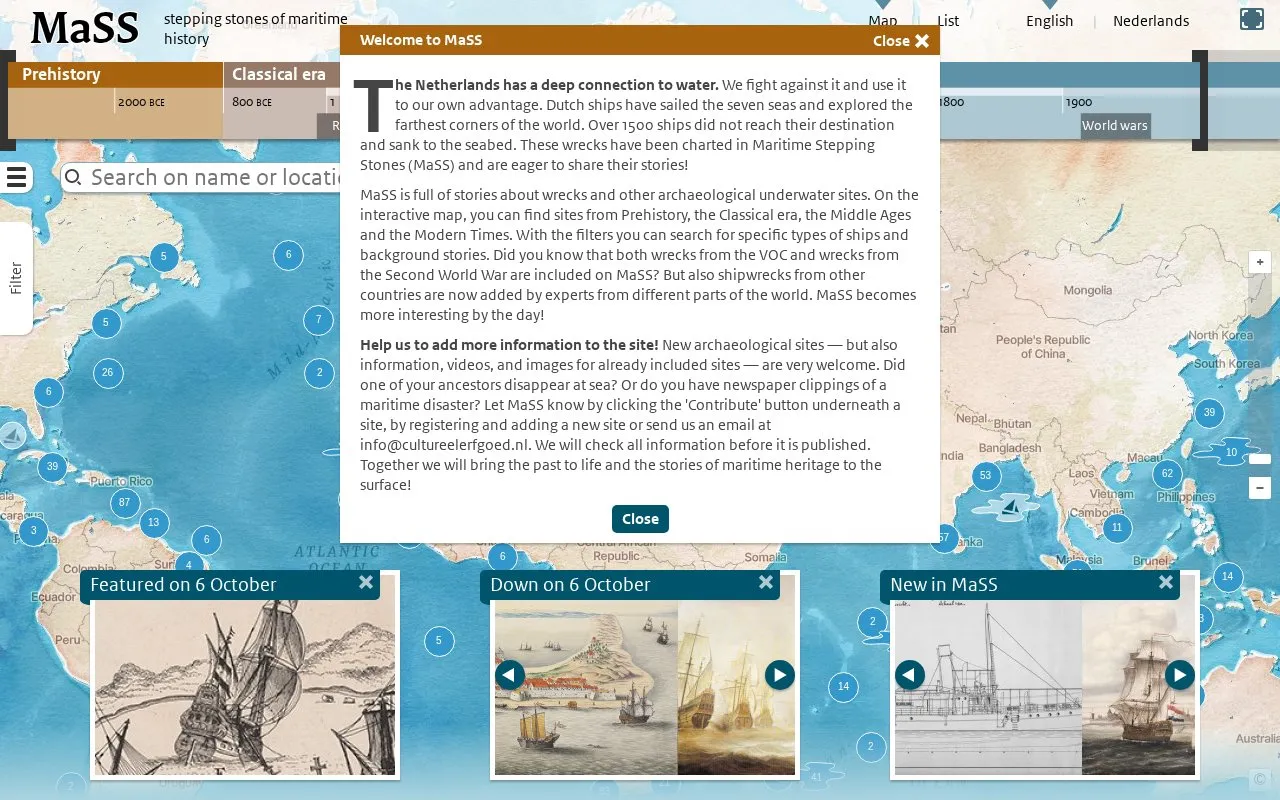
About Maritime Stepping Stones
Maritime Stepping Stones (MaSS) shows stories about shipwrecks, plane wrecks and other archaeological underwater sites on an interactive map. Sites range from Prehistory, the Classical era, the Middle Ages and Modern Times, and include VOC wrecks, Second World War wrecks, and wrecks from other countries added by experts. Users can search with filters for ship type, background story, shipping route, status, protection and other attributes. Registered users can suggest information, videos and images for listed sites or add new sites, and submissions are checked before publication.
Key features
- Interactive map of wrecks and underwater archaeological sites
- Filter sites by period, heritage type, and ship variety
- Filter by shipping route, category, status, and protection
- Display historical shipping routes alongside heritage sites
- Contribute information, videos, and images for listed sites
- Registered users can add new archaeological sites
- Includes wrecks from multiple periods and countries beyond Dutch sites
- Provides filters for ship type, route, status, protection, and owner
- User-submitted information is checked before publication
Maritime Stepping Stones at a glance
- Website
- mass.cultureelerfgoed.nl
- Category
- Travel & Maps › Maps, Navigation & Weather
- Type
- Website
- Pricing
- Not confirmed. Check the site
- Platforms
- Web
- Open source
- Not stated
- Language
- English
- Last checked
- Oct 5, 2026 · Online when checked
- Listed
- Oct 5, 2026
Popular in Maps, Navigation & Weather
Well-known listings from the same topic.


Tell us and an editor will check it.
Claim the listing and suggest updates yourself. An editor checks every claim first.