

Check Ontario road and transit conditions with live maps, traffic cameras, incident details, and travel-time information.
FreePick
20 alternativesMused offers virtual travel and live online guided tours, alongside map-based simulations.
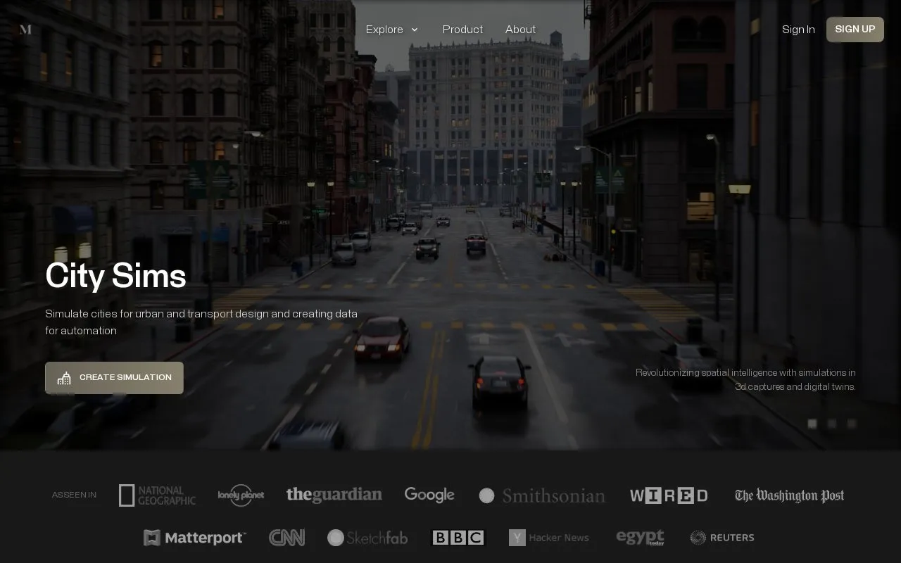
Mused provides virtual travel with live online guided tours of monuments around the world, along with tools to build 3D captures, digital twins, and simulations. Uses described include high-resolution captures for teaching architecture and history, city-scale simulations for urban and transport design, worker simulation in warehouse and factory scans, and chat-created simulations on a map for operations, education, and travel. The site accepts captures made with a phone, 360 camera, or laser scanner for upload, and offers code assets and packages for building tours and simulations. Listed simulation types also include human-behavior agents, risk analysis from incident data, and thermal, gas, and fluid dynamics in captured spaces.
Tools and sites you could use instead, ranked by how closely they match.
Check Ontario road and transit conditions with live maps, traffic cameras, incident details, and travel-time information.
Well-known listings from the same topic.
Tell us and an editor will check it.
Claim the listing and suggest updates yourself. An editor checks every claim first.


