

The Alcohol and Gaming Commission of Ontario publishes a data inventory showing its datasets and their current status.
Dataset
OGSEarth provides KML bookmarks for Ontario geological information and directs visitors to the newer GeologyOntario hub.
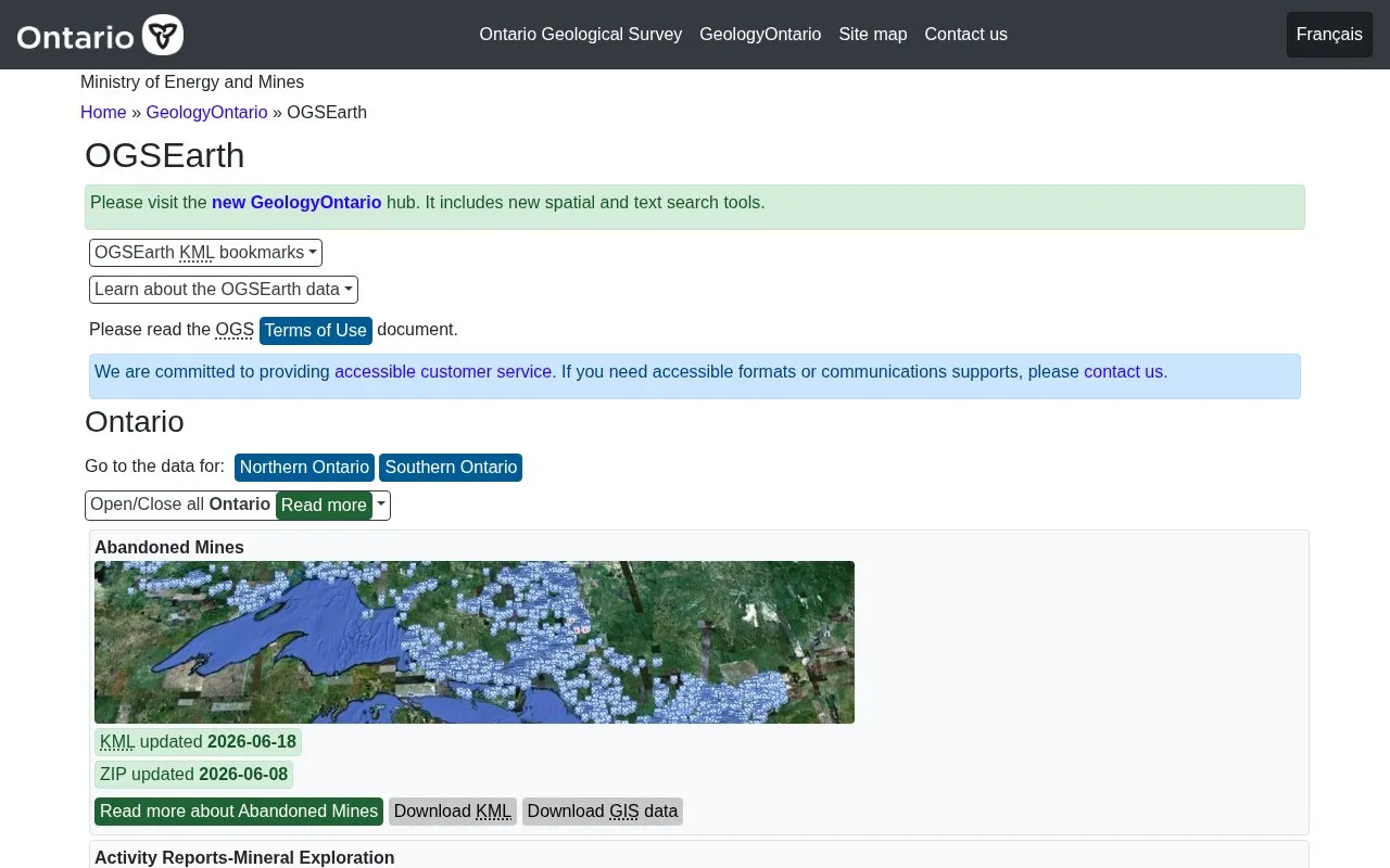
OGSEarth provides Ontario geoscience information as KML bookmarks for viewing in Google Earth, and directs visitors to the GeologyOntario hub with spatial and text search tools. It lists datasets with provincial coverage and for northern and southern Ontario, including bedrock geology, mining claims, drill holes, and groundwater topics.
Data is in Keyhole Markup Language (KML) format for Google Earth Pro or the mobile versions. The browser version of Google Earth does not display all data. Data comes from a variety of sources, and each layer points to its original source when available, under the OGS Terms of Use.
Other listings in Open Data in Canada with the most in common.
The Alcohol and Gaming Commission of Ontario publishes a data inventory showing its datasets and their current status.
Public Health Ontario's data inventory lists datasets and notes whether each is open, being prepared for release, or exempt.
The Town of Ajax's open data hub provides a public site for accessing datasets published by the municipality.
The SLGO Data Catalogue lets visitors search and download datasets, with subject filters for marine and ocean variables.
York Region’s public open data platform lets visitors explore and download datasets, build applications, and combine data on maps.
Grey County’s public open data hub lets visitors explore and download datasets published by the county.
Well-known listings from the same topic.
Tell us and an editor will check it.
Claim the listing and suggest updates yourself. An editor checks every claim first.


