

OpenRailwayMap is based on OpenStreetMap and maps railway infrastructure across the world.
OpenMapTiles
OpenMapTiles provides OpenStreetMap vector tiles, schemas, map styles, and tools for building maps.
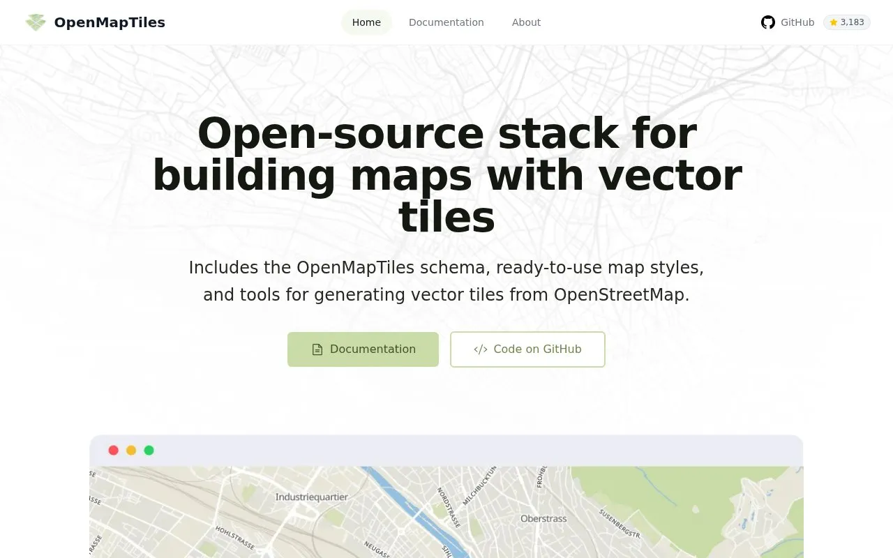
About OpenMapTiles
OpenMapTiles provides OpenStreetMap vector tiles, a tile schema, map styles, and tools for generating vector tiles from OpenStreetMap data. It works with MapLibre GL, Leaflet, OpenLayers, GIS software, and WMTS, and supports multilingual map display.
Users can use cloud-hosted maps, host tiles themselves, or download ready-made tiles for the planet, countries, and cities. Interactive map display requires WebGL, and additional premium styles and production infrastructure are offered separately by MapTiler.
Key features
- Generate vector tiles from OpenStreetMap data with included tools
- Use OpenMapTiles schema for structuring world map data
- Works with MapLibre GL, Leaflet, OpenLayers, GIS, and WMTS
- Display maps in multiple languages
- Self-host tiles, use cloud maps, or download map data
- Use included styles such as OSM Bright, Positron, and Dark Matter
Best for: Developers and organizations building custom maps from OpenStreetMap vector tiles.
Good for
- Provides schema, styles, and tile-generation tools in one place
- Compatible with MapLibre GL, Leaflet, OpenLayers, GIS, and WMTS
- Supports multilingual display with self-hosting, cloud, or download options
Watch out for
- Interactive map display requires a browser with WebGL support
- Additional premium styles are offered separately through MapTiler
OpenMapTiles at a glance
- Website
- openmaptiles.org
- Category
- Travel & Maps › Maps, Navigation & Weather
- Type
- Website
- Pricing
- Not confirmed. Check the site
- Platforms
- Web
- Open source
- Not stated
- Language
- English
- Last checked
- Oct 5, 2026 · Online when checked
- Listed
- Oct 5, 2026
OpenMapTiles alternatives
Tools and sites you could use instead, ranked by how closely they match.

OpenTopoMap displays topographic maps built from OpenStreetMap data for exploring terrain and locations.

Organic Maps is a free offline mapping app for Android and iOS using community-sourced OpenStreetMap data.
Free
24 alternativesPopular in Maps, Navigation & Weather
Well-known listings from the same topic.
OpenWeatherMapopenweathermap.org511on.ca511on.caFIRMSfirms.modaps.eosdis.nasa.gov/mapWeather History & Data Archivewunderground.com/historyORBISorbis.stanford.eduEarth Engine Datasetdevelopers.google.com/earth-engine/datasets


OpenMapTiles FAQ
Do I have to generate tiles myself?
No. The maintainers offer ready-to-use tiles for the entire planet, countries, and cities, including satellite imagery datasets.
What mapping tools can I use with OpenMapTiles?
It works with MapLibre GL, Leaflet, OpenLayers, GIS software, and WMTS.
Can I host the maps myself?
Yes. The site lists options to use cloud maps, host it yourself, or download map data.
Is something wrong or out of date?
Tell us and an editor will check it.
Own this website?
Claim this listing
Claim the listing and suggest updates yourself. An editor checks every claim first.