

Nexdata offers off-the-shelf training datasets and data collection and annotation services across areas including speech, vision, and language.
Dataset
OpenTopography provides dataset search and access to topographic data, including lidar datasets and related map visualizations.
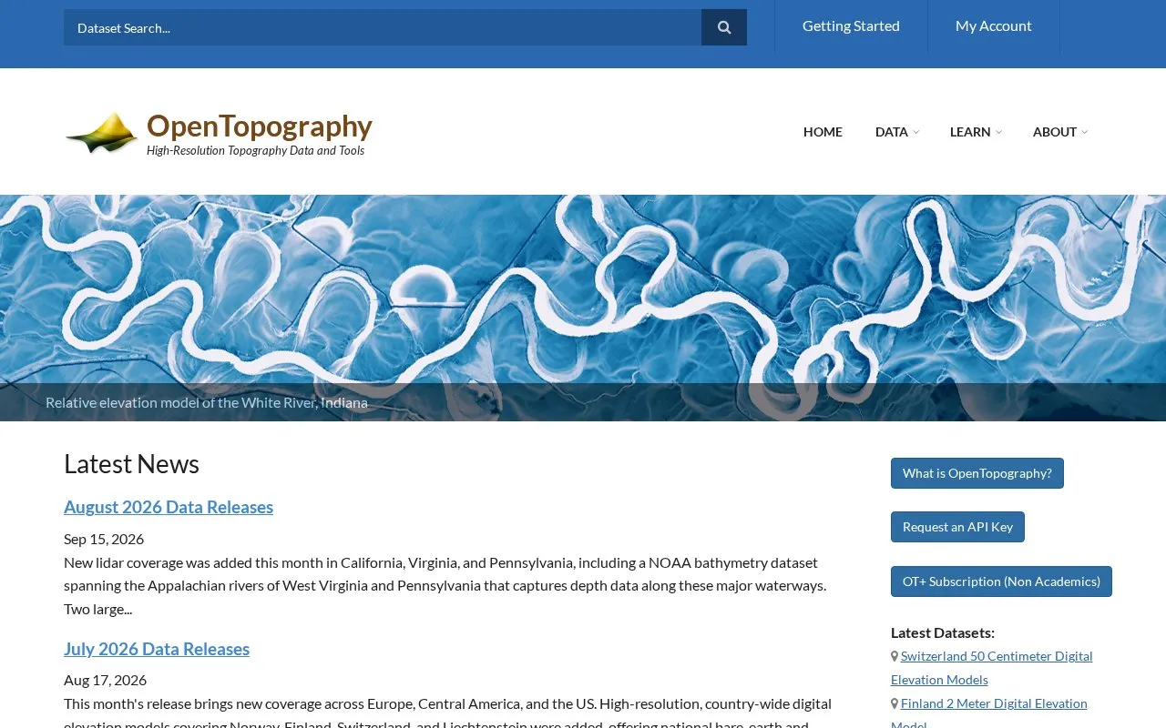
OpenTopography provides search and access to topographic data, including lidar point clouds, digital elevation models, digital terrain models, and bathymetry datasets. Coverage described includes parts of the United States, Europe, Central America, South America, New Zealand, and near-global models, with visualizations such as hillshade images, flow direction maps, and 3D point clouds.
Users can programmatically search, browse, and access raster DEM datasets through a SpatioTemporal Asset Catalog (STAC), and retrieve elevation for a location with a single web request through the Point Elevation API. The site also lists API key requests and an OT+ subscription for non-academics.
Other listings in Machine Learning Datasets with the most in common.
Nexdata offers off-the-shelf training datasets and data collection and annotation services across areas including speech, vision, and language.
ColabFit Exchange supports materials science by helping users discover, explore, and submit datasets for machine learning interatomic potentials.
Dataset List catalogs machine-learning datasets from across the web and accepts additions through a submission form.
NOMAD supports materials scientists in managing and sharing their research data with others.
The UC Irvine Machine Learning Repository helps visitors discover machine learning datasets.
The NSF National Geophysical Facility provides geophysical research data on GNSS, radar, lidar, strain, seismic activity, and related services.
Well-known listings from the same topic.
Tell us and an editor will check it.
Claim the listing and suggest updates yourself. An editor checks every claim first.


