

Browse datasets from UC Santa Barbara's Climate Hazards Center, including CHIRPS v3 rainfall data and instructions for bulk downloads.
Dataset
EarthStat provides geographic datasets related to agriculture and the environment, including data for studying food production and impacts.
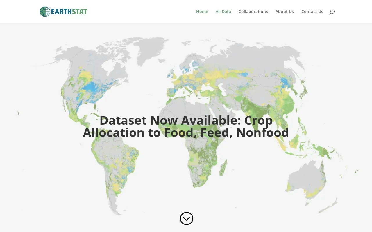
EarthStat provides geographic data sets on agriculture and the environment. It is a collaboration between the Global Landscapes Initiative at the University of Minnesota’s Institute on the Environment and the Land Use and Global Environment lab at the University of British Columbia. The site offers downloadable GIS data in Geotiff format on topics such as cropland and pasture area circa 2000, harvested area and yield for 175 crops, greenhouse gas emissions from croplands, climate effects on crop yields, water depletion, yield gaps, nutrient application and balance, and carbon stocks. Some downloads are large, and many core datasets are labeled circa 2000; pricing is not stated on the homepage.
Other listings in Climate & Environmental Data with the most in common.
Browse datasets from UC Santa Barbara's Climate Hazards Center, including CHIRPS v3 rainfall data and instructions for bulk downloads.
Google Earth Engine’s public data catalog includes standard Earth science raster datasets that users can import into scripts.
The European Climate Assessment and Dataset project presents information on weather and climate extremes and daily data used to analyze them.
SACA&D presents information on weather and climate extremes and the daily records used to analyze them in Southeast Asia.
The European Commission Joint Research Centre Data Catalogue provides datasets and collections on topics including environment, energy, climate, and agriculture.
D-PLACE brings together datasets, variables, phylogenies, and sources to explore variation in societies, language, culture, and environment.
Well-known listings from the same topic.
Tell us and an editor will check it.
Claim the listing and suggest updates yourself. An editor checks every claim first.


