

Browse datasets from UC Santa Barbara's Climate Hazards Center, including CHIRPS v3 rainfall data and instructions for bulk downloads.
Dataset
Google Earth Engine’s public data catalog includes standard Earth science raster datasets that users can import into scripts.
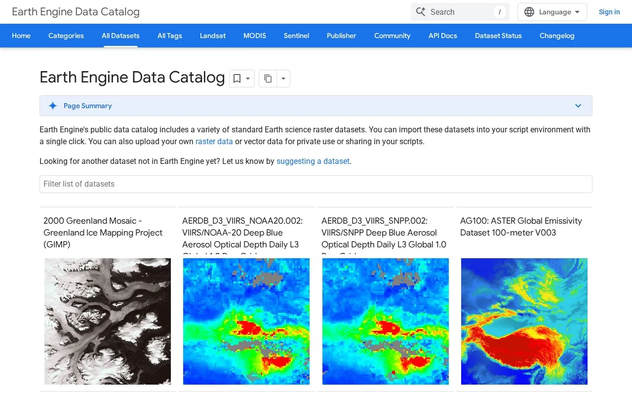
The Earth Engine Data Catalog is a public collection of Earth science datasets, mainly raster data, with some vector data. Users can import these datasets into their script environment with a single click. The catalog includes satellite imagery, digital elevation models, land cover maps, climate data, and atmospheric measurements from sources such as Landsat, Sentinel, MODIS, and NOAA.
The catalog also includes region-specific datasets, such as those covering Greenland, the Netherlands, Australia, the Arctic, China, and the United States. Topics include environmental monitoring of forest cover, fire activity, drought, surface water, and urban heat islands, as well as human activity datasets such as population distribution and infrastructure mapping. Users can also upload their own raster or vector data for private use or for sharing in their scripts. The catalog does not include every dataset, and users can suggest new ones.
Other listings in Climate & Environmental Data with the most in common.
Browse datasets from UC Santa Barbara's Climate Hazards Center, including CHIRPS v3 rainfall data and instructions for bulk downloads.
EarthStat provides geographic datasets related to agriculture and the environment, including data for studying food production and impacts.
The European Climate Assessment and Dataset project presents information on weather and climate extremes and daily data used to analyze them.
SACA&D presents information on weather and climate extremes and the daily records used to analyze them in Southeast Asia.
Search NASA's Atmospheric Science Data Center for Earth science projects on radiation, clouds, aerosols, and atmospheric composition.
NASA Earthdata provides access to NASA Earth science data collections through its Earth Science Data Systems program.
Well-known listings from the same topic.
Tell us and an editor will check it.
Claim the listing and suggest updates yourself. An editor checks every claim first.


