
NOAA’s Barrow Observatory conducts research on greenhouse gases, aerosols, surface radiation and stratospheric ozone.
Clouds and the Earth's Radiant Energy System
NASA's CERES page presents satellite views and measurements of reflected shortwave, outgoing longwave, and net downward radiation.
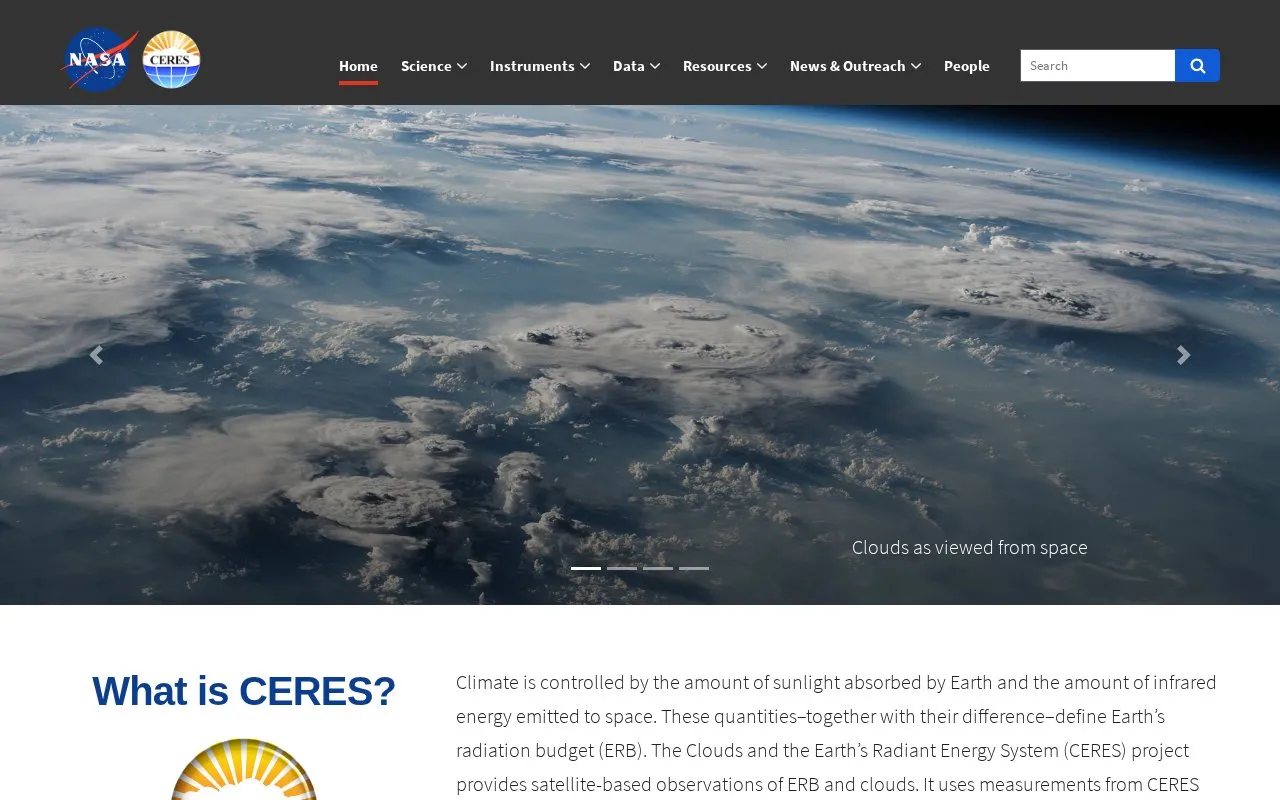
About Clouds and the Earth's Radiant Energy System
The Clouds and the Earth's Radiant Energy System (CERES) provides satellite-based observations of Earth's radiation budget and clouds, including reflected solar radiation and emitted thermal infrared radiation. It produces data products that describe the budget at the top of the atmosphere, within the atmosphere, and at the surface.
Measurements come from CERES instruments flown since 1997 on TRMM, Terra, Aqua, Suomi National Polar-orbiting Partnership and NOAA-20, combined with other satellite imagers and input data sources. Products cover hourly, daily and monthly timescales and spatial scales from 20 km to global for climate, weather and applied science research.
Key features
- Displays reflected shortwave radiation observed from space
- Displays outgoing longwave radiation observed from space
- Displays net downward radiation observed from space
- Provides ERB data for top-of-atmosphere, atmosphere, and surface
- Covers hourly, daily, and monthly timescales from 20 km to global
- Offers record from instruments on TRMM, Terra, Aqua, S-NPP, NOAA-20
Best for: Climate, weather, and applied science researchers working with Earth's radiation budget and cloud data.
Good for
- Data record extends back to 1997
- Combines CERES instruments with other polar-orbiting and geostationary imagers
- Describes radiation budget at surface, in atmosphere, and at top-of-atmosphere
Clouds and the Earth's Radiant Energy System at a glance
- Website
- ceres.larc.nasa.gov
- Category
- Research & Data › Climate & Environmental Data
- Type
- Website
- Pricing
- Not confirmed. Check the site
- Platforms
- Web
- Open source
- Not stated
- Language
- English
- Last checked
- Oct 5, 2026 · Online when checked
- Listed
- Oct 5, 2026
Clouds and the Earth's Radiant Energy System alternatives
Tools and sites you could use instead, ranked by how closely they match.
The EDGAR emissions database covers anthropogenic greenhouse gases and air pollution around the world, drawing on multiple sources.

Fisheries and Oceans Canada's Pacific archive includes temperature and salinity profiles collected from water samples and profiling systems.

The Korea Polar Data Center manages research data from South Korea's Arctic and Antarctic science programs and provides access to observations.

WDCA archives atmospheric aerosol data on microphysical, optical, and chemical properties for the WMO Global Atmosphere Watch program.

DARECLIMED covers climate, water resources, and energy-related data in a data repository from the Cyprus Institute.
Popular in Climate & Environmental Data
Well-known listings from the same topic.
IOOS®ioos.noaa.govOCTOPUS databaseoctopusdata.orgVectorSurvvectorsurv.orgPAINTpaint-database.orgSIBiLSsibils.orgNatureServenatureserve.org


Clouds and the Earth's Radiant Energy System FAQ
What is CERES?
The Clouds and the Earth's Radiant Energy System project provides satellite-based observations of Earth's radiation budget and clouds for climate, weather and applied science research.
Which satellites have carried CERES instruments?
The first launched in 1997 aboard TRMM, followed by Terra, Aqua, Suomi National Polar-orbiting Partnership and NOAA-20.
What timescales and spatial scales do CERES data products cover?
Hourly, daily and monthly timescales and spatial scales from 20 km to global.
Is something wrong or out of date?
Tell us and an editor will check it.
Own this website?
Claim this listing
Claim the listing and suggest updates yourself. An editor checks every claim first.