

The Western Regional Climate Center provides climate services for the western United States and maps of current conditions.
Meereis Portal
The Sea Ice Portal presents information about sea ice and its climate role, with current features and material on changing ice conditions.
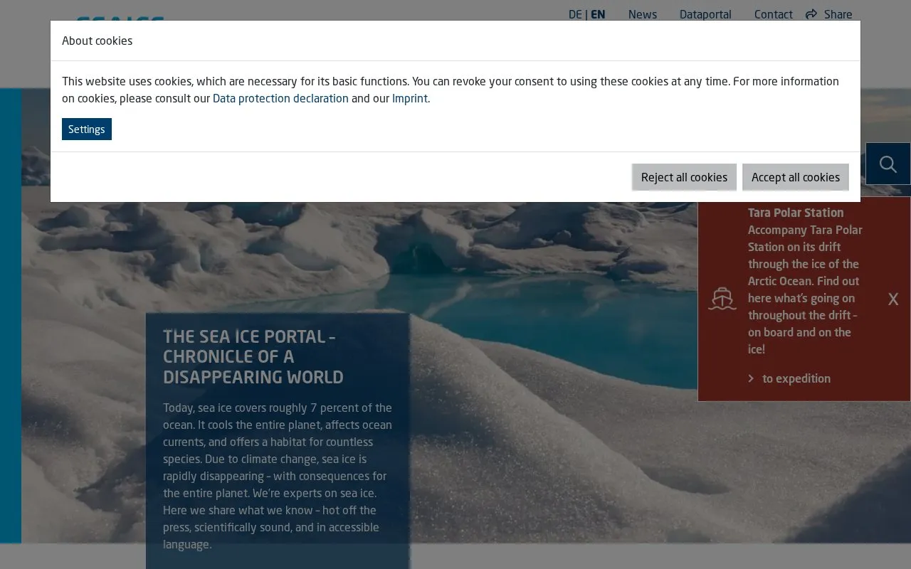
About Meereis Portal
Meereis Portal, also called the Sea Ice Portal, is an English-language website that explains sea ice and its role in the climate. The homepage states that sea ice covers roughly 7 percent of the ocean, cools the planet, affects ocean currents and provides habitat for many species, and that climate change is rapidly reducing it. The site describes its authors as sea-ice experts who share their findings in accessible language.
The site presents sea-ice concentration maps for the Arctic and Antarctic, updated daily. It also offers annual cycle charts that compare the current year's sea-ice extent with past years, and monthly extent records from satellite monitoring since 1979. The data is credited to the University of Bremen's Institute of Environmental Physics and the Alfred Wegener Institute, and the site points to a separate data portal for base data and additional maps. The homepage excerpt does not state pricing or licensing terms.
Key features
- Daily-updated sea-ice concentration maps for the Arctic and Antarctic
- Annual cycle chart comparing current sea-ice extent with past years
- Comparison with the 1981–2010 mean and the 2012 summer minimum
- Monthly sea-ice extent records since 1979, based on satellite monitoring
- Links to a data portal for base data and additional maps
- Explanatory material on sea ice and its role in the climate
Best for: Readers who want current sea-ice maps and plain-language explanations of how Arctic and Antarctic ice conditions are changing.
Good for
- Map data is credited to the University of Bremen's Institute of Environmental Physics and the Alfred Wegener Institute.
- Monthly sea-ice extent records cover the period since 1979 using satellite monitoring.
- Sea-ice concentration maps are stated to be updated daily.
Meereis Portal at a glance
- Website
- meereisportal.de/en
- Category
- Research & Data › Climate & Environmental Data
- Type
- Website
- Pricing
- Not confirmed. Check the site
- Platforms
- Web
- Open source
- Not stated
- Language
- English
- Last checked
- Oct 6, 2026 · Online when checked
- Listed
- Oct 5, 2026
Meereis Portal alternatives
Tools and sites you could use instead, ranked by how closely they match.

Search Australian marine and climate science data through the Australian Ocean Data Network portal.
Free
24 alternativesBavaria's hydrological service publishes measurement data on rivers, lakes, groundwater, weather, and related water conditions.

NASA's CERES page presents satellite views and measurements of reflected shortwave, outgoing longwave, and net downward radiation.

Mississauga's planning data hub covers current and historical information on demographics, development, employment, housing, and land use.

The Global Genome Biodiversity Network provides access to genomic biodiversity material and records from collections across the tree of life.
Popular in Climate & Environmental Data
Well-known listings from the same topic.
IOOS®ioos.noaa.govOCTOPUS databaseoctopusdata.orgVectorSurvvectorsurv.orgPAINTpaint-database.orgSIBiLSsibils.orgNatureServenatureserve.org


Meereis Portal FAQ
What does sea-ice concentration mean on the maps?
It shows the amount of sea-ice cover as a percentage. A concentration of 100% indicates a seamless sheet of sea ice, and concentrations below 15% are considered ice-free.
How is sea-ice extent defined?
Sea-ice extent is the sum of all regions with an ice concentration of at least 15%. It is measured in millions of square kilometres.
Is something wrong or out of date?
Tell us and an editor will check it.
Own this website?
Claim this listing
Claim the listing and suggest updates yourself. An editor checks every claim first.