
NOAA's CLASS is a digital library of real-time and historical satellite data from its polar-orbiting environmental satellites.
Mississauga Open Data Portal
Mississauga's planning data hub covers current and historical information on demographics, development, employment, housing, and land use.
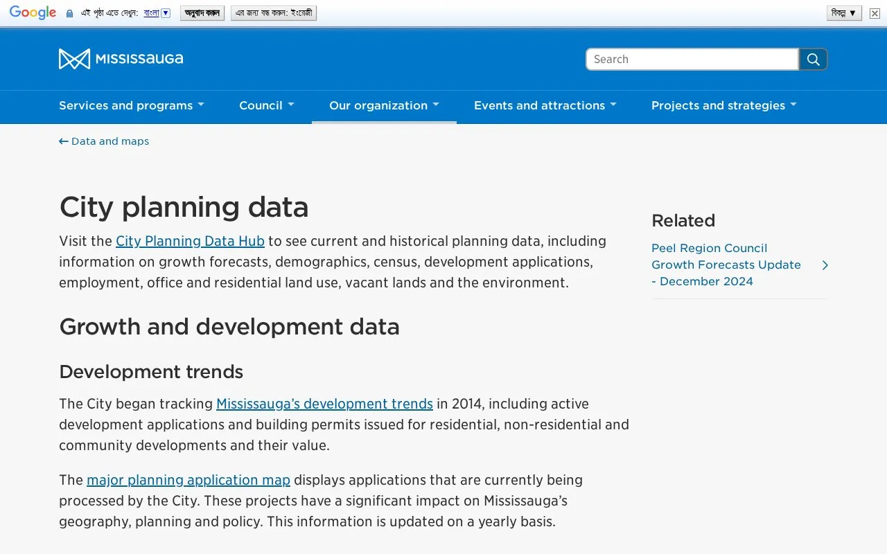
About Mississauga Open Data Portal
The City Planning Data Hub provides current and historical planning data for Mississauga, including growth forecasts, demographics, census, development applications, employment, housing, office and residential land use, vacant lands, and environment.
It includes development trends tracked since 2014, population, housing unit and employment estimates for 2021 to 2051, an aerial 3D massing model, census breakdowns, annual employment and land-use updates, and an open data catalogue with more than 100 datasets. Coverage is limited to Mississauga, and major planning application information is updated yearly.
Key features
- Track development trends including applications and building permits since 2014
- View growth forecasts for population, housing, employment 2021-2051
- Browse aerial 3D massing model for mass and density planning
- Search census breakdowns for age, income, language, housing, transport
- Review annual employment survey data collected since 2001
- Search open data catalogue with more than 100 datasets
Best for: Researchers, planners, and residents who need Mississauga-specific planning, demographic, and land-use data.
Good for
- Covers current and historical data on demographics, housing, employment, and land use
- Offers more than 100 open datasets for research, analysis, and app development
- Includes census breakdowns and annual updates for land use and employment
Watch out for
- Limited to Mississauga geography
- Major planning application map is updated on a yearly basis
Mississauga Open Data Portal at a glance
- Category
- Research & Data › Climate & Environmental Data
- Type
- Website
- Pricing
- Not confirmed. Check the site
- Platforms
- Web
- Open source
- Not stated
- Language
- English
- Last checked
- Oct 5, 2026 · Online when checked
- Listed
- Oct 5, 2026
Mississauga Open Data Portal alternatives
Tools and sites you could use instead, ranked by how closely they match.
Maharashtra’s state data bank provides indicators and reports covering census data, prices, surveys, and economic statistics.

NOAA’s National Centers for Environmental Information provide historical weather, climate, ocean, and magnetic field data.

DARECLIMED covers climate, water resources, and energy-related data in a data repository from the Cyprus Institute.

The Western Regional Climate Center provides climate services for the western United States and maps of current conditions.

WoRMS catalogs marine species names and reflects current published taxonomic knowledge.
Popular in Climate & Environmental Data
Well-known listings from the same topic.
IOOS®ioos.noaa.govClouds and the Earth's Radiant Energy Systemceres.larc.nasa.govOCTOPUS databaseoctopusdata.orgVectorSurvvectorsurv.orgPAINTpaint-database.orgSIBiLSsibils.org


Mississauga Open Data Portal FAQ
What time period do the growth forecasts cover?
Population, housing unit and employment estimates from 2021 to 2051.
How often is the major planning application map updated?
The information on applications currently being processed is updated on a yearly basis.
What can the open data catalogue be used for?
Public information that can be used by anyone for research, analysis, reporting and mobile app development across more than 100 datasets.
Is something wrong or out of date?
Tell us and an editor will check it.
Own this website?
Claim this listing
Claim the listing and suggest updates yourself. An editor checks every claim first.