
NASA's CERES page presents satellite views and measurements of reflected shortwave, outgoing longwave, and net downward radiation.
AVISO+
AVISO+ provides satellite oceanography data and tools for studying sea level and related measurements.
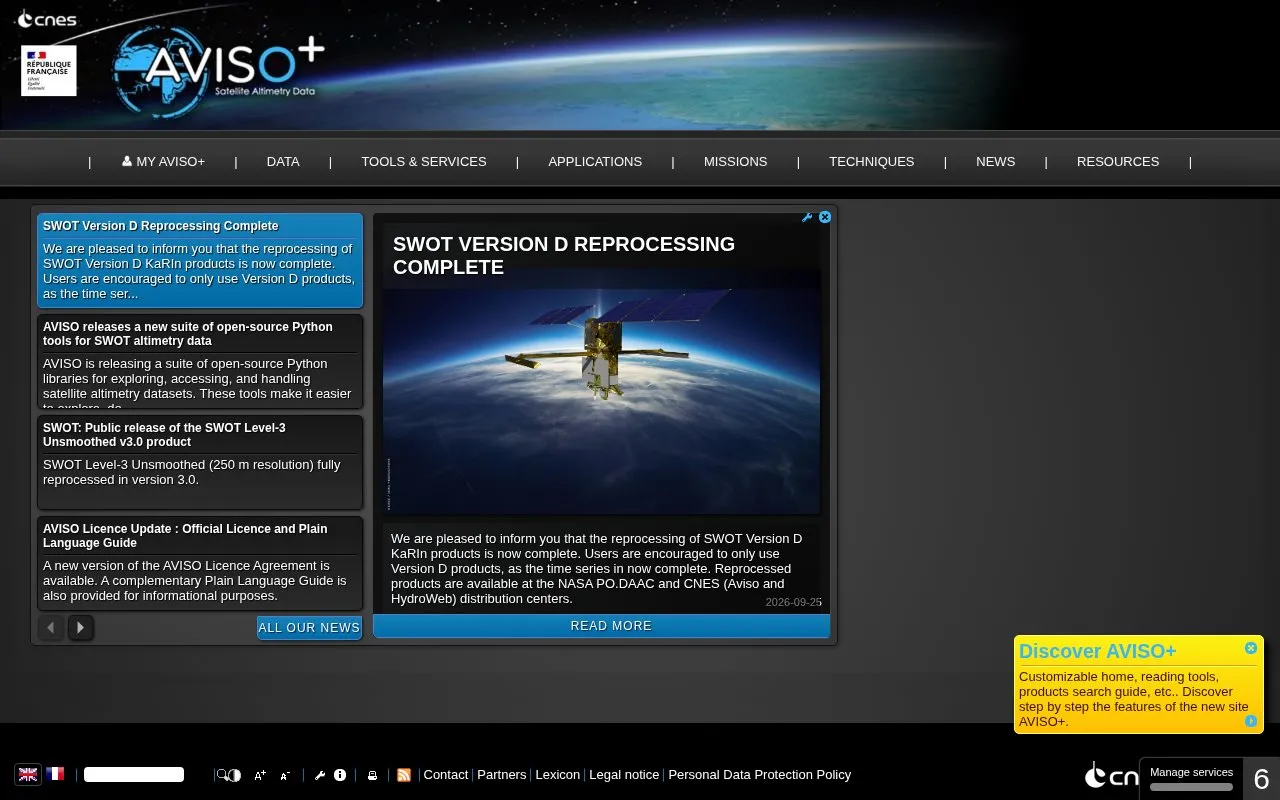
About AVISO+
AVISO+ is a website that provides satellite oceanography data and tools for studying sea level and related measurements. Its homepage lists sea surface height products, value-added and wind/wave products, ice products, ocean indicator products, and tide gauge products, grouped by topics such as ocean circulation, tides, mean sea level, ENSO, and ice and cryosphere. Data can be reached through a registration form, FTP, and a THREDDS data server. Users can also find product handbooks, data format information, and mission-specific processing and update notes.
The site also offers software for working with the data, including a Basic Radar Altimetry Toolbox, data reading software, a visualization tool, and a pass locator. Recent entries describe open-source Python libraries for SWOT altimetry data, which can be installed through conda-forge. Use of the products is governed by the AVISO licence agreement, and the site asks users to follow its citation terms.
Key features
- Sea surface height and related satellite altimetry data products
- Data access through a registration form, FTP, and THREDDS server
- Open-source Python libraries for exploring and downloading SWOT altimetry data
- Spatio-temporal subsetting so users can download only the data they need
- Basic Radar Altimetry Toolbox and data reading software
- Pass locator and Google Earth guidance for satellite ground tracks
Best for: Researchers, students, and analysts who study sea level, ocean circulation, or climate using satellite altimetry data.
Good for
- User handbooks, product information, and data format documentation are listed on the homepage
- SWOT Python tools include documentation on GitHub and are installable through conda-forge
- Reprocessed SWOT products are stated to be available at NASA PO.DAAC and CNES distribution centers
Watch out for
- Use of the products is governed by the AVISO licence agreement and citation terms
- Several products and tools are specific to individual satellite missions, such as SWOT
- The homepage does not state pricing
AVISO+ at a glance
- Category
- Research & Data › Climate & Environmental Data
- Type
- Website
- Pricing
- Not confirmed. Check the site
- Platforms
- Web
- Open source
- Not stated
- Last checked
- Oct 6, 2026 · Online when checked
- Listed
- Oct 5, 2026
AVISO+ alternatives
Tools and sites you could use instead, ranked by how closely they match.
Bavaria's hydrological service publishes measurement data on rivers, lakes, groundwater, weather, and related water conditions.

PAINT makes operational data from concentrating solar power plants available, including calibration images, measurements, and weather information.
NOAA's CLASS is a digital library of real-time and historical satellite data from its polar-orbiting environmental satellites.

AgTrials collects agricultural field-experiment data to study adaptation to climate change across farming contexts.

The Swedish National Space Agency makes open data available for reuse, including information about its satellite register.
Popular in Climate & Environmental Data
Well-known listings from the same topic.
IOOS®ioos.noaa.govOCTOPUS databaseoctopusdata.orgVectorSurvvectorsurv.orgSIBiLSsibils.orgNatureServenatureserve.orgdata.iowa.govdata.iowa.gov


AVISO+ FAQ
How can users access AVISO+ data?
The homepage lists a registration form, FTP access, the Aviso+ CNES Data Center, and a THREDDS Data Server.
Are there Python tools for working with SWOT data?
AVISO has released open-source Python libraries for exploring, accessing, and handling SWOT altimetry datasets. They are documented on GitHub and can be installed via conda-forge.
What terms apply to using the data?
The site links to a citation and Aviso+ products licence. A new licence agreement and a plain language guide were published in September 2026.
Is something wrong or out of date?
Tell us and an editor will check it.
Own this website?
Claim this listing
Claim the listing and suggest updates yourself. An editor checks every claim first.