
The Global Genome Biodiversity Network provides access to genomic biodiversity material and records from collections across the tree of life.
EarthEnv
EarthEnv develops standardized global environmental layers for studying biodiversity, ecosystems, and climate.
About EarthEnv
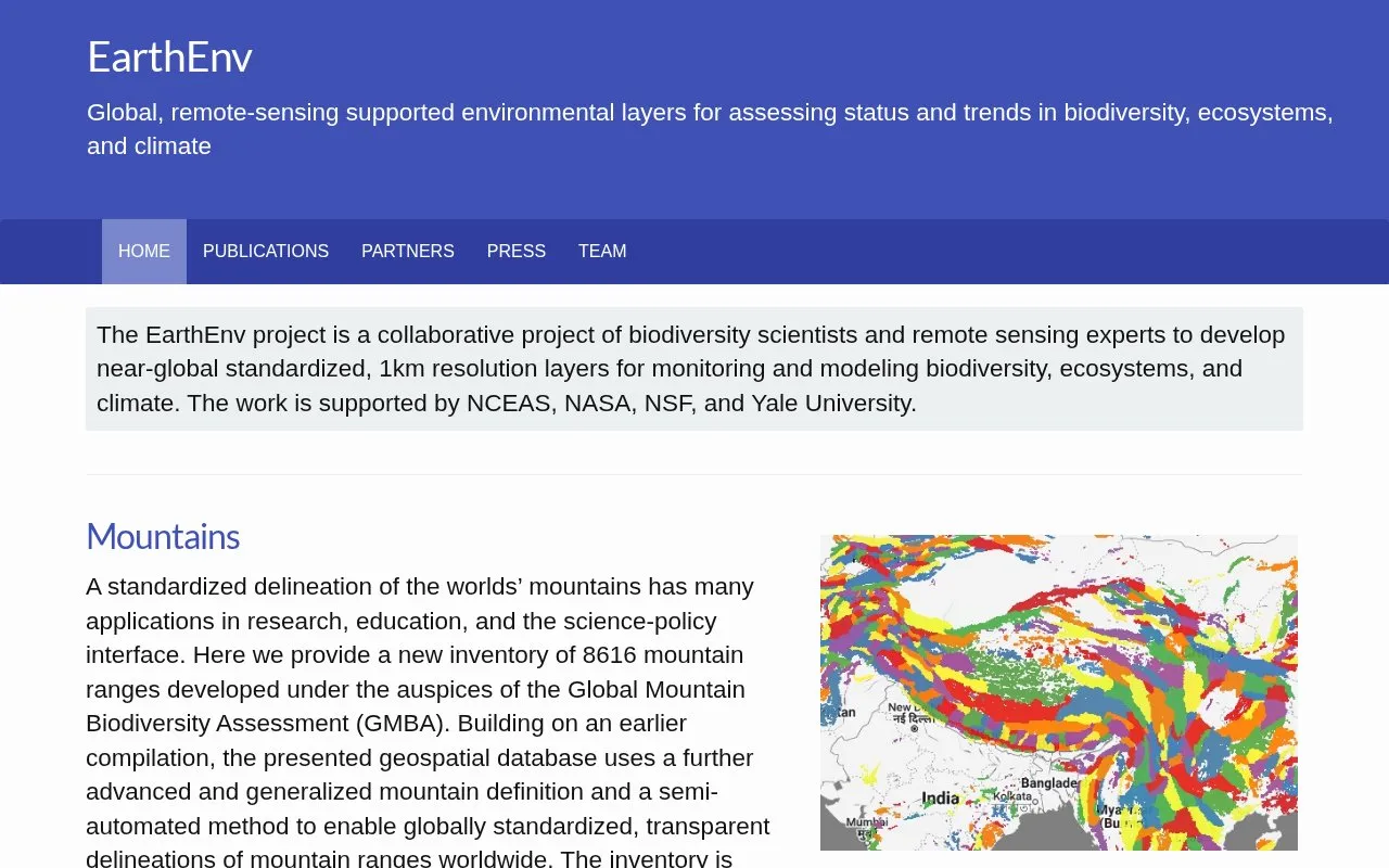
EarthEnv is a collaborative project of biodiversity scientists and remote sensing experts that develops near-global standardized layers at 1km resolution for monitoring and modeling biodiversity, ecosystems, and climate. It provides datasets including an inventory of 8616 mountain ranges at hierarchical levels, a global assessment of tropical cloud forest status and trends, a daily 1km precipitation time series from 2003 onward based on ERA5 and MODIS cloud frequency, and topographic variables derived from GMTED2010 and SRTM4.1dev at multiple spatial grains.
Coverage is described as near-global rather than fully global, and products have defined ranges and inputs, such as precipitation starting in 2003.
Key features
- Inventory of 8616 mountain ranges at hierarchical aggregation levels
- Daily 1km precipitation time series for 2003 onward
- Topographic variables including elevation, slope, aspect and roughness
- Topographic variables aggregated at 1, 5, 10, 50 and 100 km
- Global assessment of tropical cloud forest status and trends
- Mountain selection from continents to small subranges
Best for: Researchers monitoring or modeling biodiversity, ecosystems, and climate using standardized global layers.
Good for
- Standardized near-global layers at 1km resolution
- Developed collaboratively by biodiversity and remote sensing experts
- Offers selectable hierarchical levels and multiple spatial aggregations
Watch out for
- Coverage is described as near-global rather than fully global
- Daily precipitation series covers 2003 onward, not earlier periods
EarthEnv at a glance
- Website
- earthenv.org
- Category
- Research & Data › Climate & Environmental Data
- Type
- Website
- Pricing
- Not confirmed. Check the site
- Platforms
- Web
- Open source
- Not stated
- Language
- English
- Last checked
- Oct 5, 2026 · Online when checked
- Listed
- Oct 5, 2026
EarthEnv alternatives
Tools and sites you could use instead, ranked by how closely they match.

ITIS assembles scientific names and taxonomic relationships for global species and makes taxonomy data available through software.

The Atlantic Canada Conservation Data Centre provides biodiversity information for the region.

The Canadian Biodiversity Information Facility provides biodiversity information and data through Agriculture Canada.
BioVeL provides references on biodiversity science, including population ecology, conservation, and species loss.
Explore the biodiversity of Britain and Ireland through BioImages, a visual guide with image search.
Popular in Climate & Environmental Data
Well-known listings from the same topic.
IOOS®ioos.noaa.govClouds and the Earth's Radiant Energy Systemceres.larc.nasa.govOCTOPUS databaseoctopusdata.orgVectorSurvvectorsurv.orgPAINTpaint-database.orgSIBiLSsibils.org


EarthEnv FAQ
What spatial resolution do EarthEnv layers use?
The project describes its layers as near-global standardized layers at 1km resolution.
What period does the CHELSA-EarthEnv precipitation product cover?
It is a daily gridded precipitation time series at 1km resolution for the years 2003 onward, developed from ERA5 and MODIS monthly cloud cover frequency.
Which elevation sources are used for topography variables?
The product is based on global 250 m GMTED2010 and near-global 90 m SRTM4.1dev, with variables aggregated from 1 km to 100 km grains.
Is something wrong or out of date?
Tell us and an editor will check it.
Own this website?
Claim this listing
Claim the listing and suggest updates yourself. An editor checks every claim first.