
Natural Resources Canada's Forest Change Data Catalogue contains maps, raw data, and interactive maps on forests across Canada.
Boola Boola Forest bird study
Browse the Boola Boola Forest bird study dataset, including records collected by Narelle Weston.
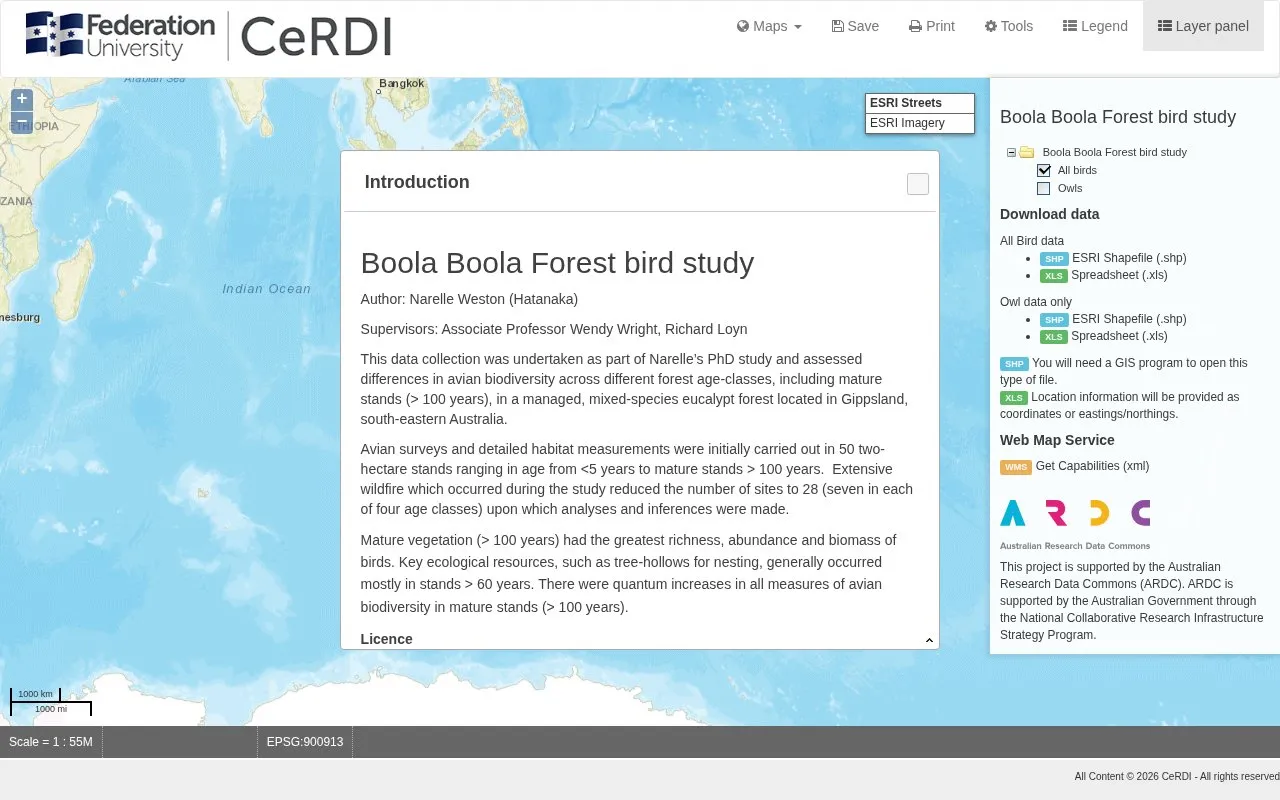
About Boola Boola Forest bird study
The site publishes the Boola Boola Forest bird study dataset collected by Narelle Weston for a PhD study of avian biodiversity across different forest age-classes in a managed, mixed-species eucalypt forest in Gippsland, south-eastern Australia. It covers surveys and habitat measurements from 2006 to 2007 in Boola Boola State Forest, Victoria.
Users can view bird presence data by habitat type on an interactive map and download all bird data or owl-only data as ESRI Shapefile or spreadsheet, with locations as coordinates or eastings/northings. Shapefiles require a GIS program to open, the original 50 survey stands were reduced to 28 after wildfire, and the data are licensed CC BY NC 3.0.
Key features
- Download all bird records as ESRI Shapefile or spreadsheet
- Download owl-only records as ESRI Shapefile or spreadsheet
- View bird presence data by habitat type on map
- Measure distance between points or area of polygon
- Save current map view as shareable permalink link
- Access dataset via Web Map Service Get Capabilities
Best for: Researchers and forest managers studying birds in relation to harvesting history and forest age in Victoria.
Good for
- Offers all bird data and owl-only subset in both Shapefile and spreadsheet formats
- Includes spatial coordinates, temporal coverage, and file descriptions as metadata
- Lists related publications and a contact for further information
Watch out for
- Data cover only 2006-2007 in Boola Boola State Forest, Victoria
- Survey sites were reduced from 50 to 28 after extensive wildfire during the study
- Shapefile downloads require a GIS program to open
Boola Boola Forest bird study at a glance
- Category
- Research & Data › Climate & Environmental Data
- Type
- Website
- Pricing
- Not confirmed. Check the site
- Platforms
- Web
- Open source
- Not stated
- Language
- English
- Last checked
- Oct 5, 2026 · Online when checked
- Listed
- Oct 5, 2026
Boola Boola Forest bird study alternatives
Tools and sites you could use instead, ranked by how closely they match.
AVISO+ provides satellite oceanography data and tools for studying sea level and related measurements.
Browse climate data publications and research highlights from the Bjerknes Climate Data Centre.

AgTrials collects agricultural field-experiment data to study adaptation to climate change across farming contexts.
EarthEnv develops standardized global environmental layers for studying biodiversity, ecosystems, and climate.

The North American Breeding Bird Survey monitors the status and trends of bird populations across North America.
Popular in Climate & Environmental Data
Well-known listings from the same topic.
IOOS®ioos.noaa.govClouds and the Earth's Radiant Energy Systemceres.larc.nasa.govOCTOPUS databaseoctopusdata.orgVectorSurvvectorsurv.orgPAINTpaint-database.orgSIBiLSsibils.org


Boola Boola Forest bird study FAQ
What geographic area and time period does the dataset cover?
Boola Boola State Forest, Victoria at 146°30'24"E, 38°5'39"S, with temporal coverage from 2006 to 2007.
What download formats are available?
All bird data and owl-only data are available as ESRI Shapefile (.shp) and spreadsheet (.xls); location information is provided as coordinates or eastings/northings.
Under what licence is the data shared?
Licensed CC BY NC 3.0 at https://creativecommons.org/licenses/by/3.0.
Is something wrong or out of date?
Tell us and an editor will check it.
Own this website?
Claim this listing
Claim the listing and suggest updates yourself. An editor checks every claim first.