
Browse the Boola Boola Forest bird study dataset, including records collected by Narelle Weston.
Forest Change Data Catalogue
Natural Resources Canada's Forest Change Data Catalogue contains maps, raw data, and interactive maps on forests across Canada.
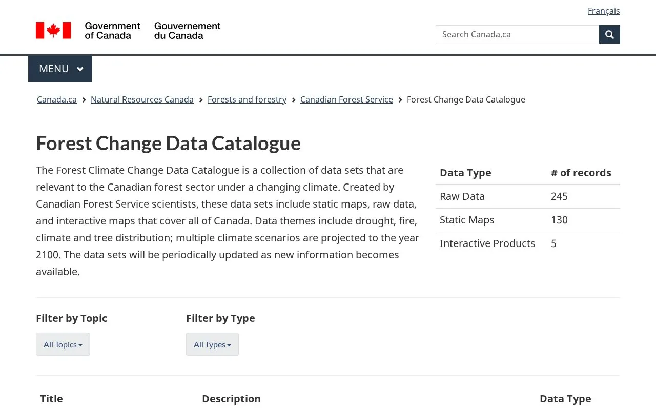
About Forest Change Data Catalogue
The Forest Change Data Catalogue is a collection of data sets relevant to the Canadian forest sector under a changing climate, created by Canadian Forest Service scientists. It contains raw data, static maps and interactive products covering all of Canada, with themes including drought, wildland fire, tree distribution, climate and downscaled climate projections. The catalogue lists 245 raw data records, 130 static maps and 5 interactive products, allows filtering by topic and data type, and states that data sets will be periodically updated as new information becomes available. Multiple climate scenarios are projected to the year 2100.
Coverage is focused on Canada, and the site is provided in English.
Key features
- Provides raw data, static maps and interactive maps covering all of Canada.
- Covers drought, wildland fire, tree distribution, climate and downscaled climate projections.
- Projects multiple climate scenarios to the year 2100.
- Allows filtering datasets by topic and data type.
- Includes fire season start, end, length and annual area burned datasets.
- Provides downscaled climate projections at a 10 km grid from multiple models.
Best for: Researchers and analysts working on the Canadian forest sector under a changing climate.
Good for
- Covers all of Canada across drought, fire and climate themes.
- Includes raw data, static maps and interactive products.
- Uses multiple climate scenarios projected to 2100.
Watch out for
- Data coverage is focused on Canada.
- Site content is provided in English.
Forest Change Data Catalogue at a glance
- Category
- Research & Data › Climate & Environmental Data
- Type
- Website
- Pricing
- Not confirmed. Check the site
- Platforms
- Web
- Open source
- Not stated
- Language
- English
- Last checked
- Oct 6, 2026 · Online when checked
- Listed
- Oct 5, 2026
Forest Change Data Catalogue alternatives
Tools and sites you could use instead, ranked by how closely they match.

Natural Resources Canada's geoscience tools include a searchable lexicon of published geological names used in Canada.

AgTrials collects agricultural field-experiment data to study adaptation to climate change across farming contexts.

The UK's Environmental Change Network monitors air, soil, water, animals, and plants and provides data from its research program.

The NWT Centre for Geomatics provides maps, applications, web map services, data, reports, and user guides.

Climate Watch offers climate data, visualizations, and resources for examining national and global progress on climate change and the Paris Agreement.
Popular in Climate & Environmental Data
Well-known listings from the same topic.
IOOS®ioos.noaa.govClouds and the Earth's Radiant Energy Systemceres.larc.nasa.govOCTOPUS databaseoctopusdata.orgVectorSurvvectorsurv.orgPAINTpaint-database.orgSIBiLSsibils.org


Forest Change Data Catalogue FAQ
What geographic area do the data sets cover?
The data sets cover all of Canada.
What data types and themes are available?
The catalogue includes raw data, static maps and interactive products covering drought, wildland fire, tree distribution, climate and downscaled climate projections.
How far do the climate projections extend?
Multiple climate scenarios are projected to the year 2100.
Is something wrong or out of date?
Tell us and an editor will check it.
Own this website?
Claim this listing
Claim the listing and suggest updates yourself. An editor checks every claim first.