

WoRMS catalogs marine species names and reflects current published taxonomic knowledge.
Natural Resources Canada Earth Sciences Data
Natural Resources Canada's geoscience tools include a searchable lexicon of published geological names used in Canada.
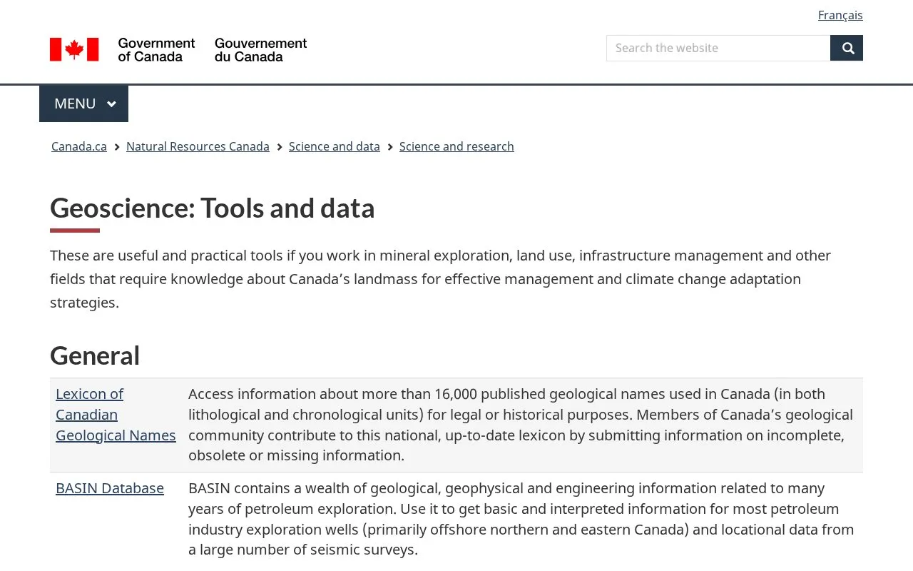
About Natural Resources Canada Earth Sciences Data
This is a set of geoscience tools and databases from Natural Resources Canada. They cover geological names, petroleum exploration records, geochemical and geophysical surveys, groundwater and permafrost data, rock age information, and marine and hazards data. The homepage says the tools are intended for people in mineral exploration, land use, infrastructure management, and other fields that need knowledge of Canada's landmass for management and climate change adaptation.
The collection is limited to Canadian geology and related data. Some datasets are narrower in scope. The BASIN petroleum database mainly covers offshore northern and eastern Canada, and the GeoCollections marine database covers samples and records from Canada's Atlantic. The geological name lexicon is maintained partly through submissions from the geoscience community.
Key features
- Searchable lexicon of more than 16,000 published Canadian geological names
- BASIN database of petroleum exploration well information and seismic survey locations
- Access to more than 1,300 regional Canadian geochemical surveys from the 1950s onward
- Repository of magnetic, radiometric, electromagnetic and gravity survey data
- Groundwater Information Network linking well databases, monitoring data and aquifer maps
- Permafrost Information Network with map-based borehole selection and data download
Best for: Professionals in mineral exploration, land use, infrastructure management and climate change adaptation who need data on Canadian geology, groundwater or permafrost.
Good for
- Brings many Canadian geoscience datasets together in one government collection
- Permafrost Information Network allows download of selected data or complete databases
- The geological name lexicon is updated with contributions from Canada's geoscience community
Watch out for
- Coverage is focused on Canada, so it is not suited to other countries
- BASIN data mainly covers offshore northern and eastern Canada
- Raw data is available in a standardized format for only 200 of more than 1,300 geochemical surveys
Natural Resources Canada Earth Sciences Data at a glance
- Category
- Research & Data › Climate & Environmental Data
- Type
- Website
- Pricing
- Not confirmed. Check the site
- Platforms
- Web
- Open source
- Not stated
- Language
- English
- Last checked
- Oct 6, 2026 · Online when checked
- Listed
- Oct 5, 2026
Natural Resources Canada Earth Sciences Data alternatives
Tools and sites you could use instead, ranked by how closely they match.

Natural Resources Canada's Forest Change Data Catalogue contains maps, raw data, and interactive maps on forests across Canada.

Statistics Canada's data catalog offers searchable tables, microdata, and visualizations across topics including health, labor, and trade.

IPNI provides nomenclatural details for vascular plant names, including spelling, authorship, type, and publication information.
Systema Dipterorum catalogs names of living and extinct two-winged insects and provides access to its taxonomic resources.

The Atlantic Canada Conservation Data Centre provides biodiversity information for the region.
Popular in Climate & Environmental Data
Well-known listings from the same topic.
IOOS®ioos.noaa.govClouds and the Earth's Radiant Energy Systemceres.larc.nasa.govOCTOPUS databaseoctopusdata.orgVectorSurvvectorsurv.orgPAINTpaint-database.orgSIBiLSsibils.org


Natural Resources Canada Earth Sciences Data FAQ
What does the Lexicon of Canadian Geological Names cover?
It provides information on more than 16,000 published geological names used in Canada, covering both lithological and chronological units.
Can I download data from the marine GeoCollections database?
Yes. You can view detailed information on screen or download a CSV text file.
Is raw data available for all Canadian geochemical surveys?
No. Raw data from 200 of the more than 1,300 regional geochemical surveys is made available in a standardized format.
Is something wrong or out of date?
Tell us and an editor will check it.
Own this website?
Claim this listing
Claim the listing and suggest updates yourself. An editor checks every claim first.