
Maharashtra’s state data bank provides indicators and reports covering census data, prices, surveys, and economic statistics.
NWT Centre for Geomatics
The NWT Centre for Geomatics provides maps, applications, web map services, data, reports, and user guides.
About NWT Centre for Geomatics
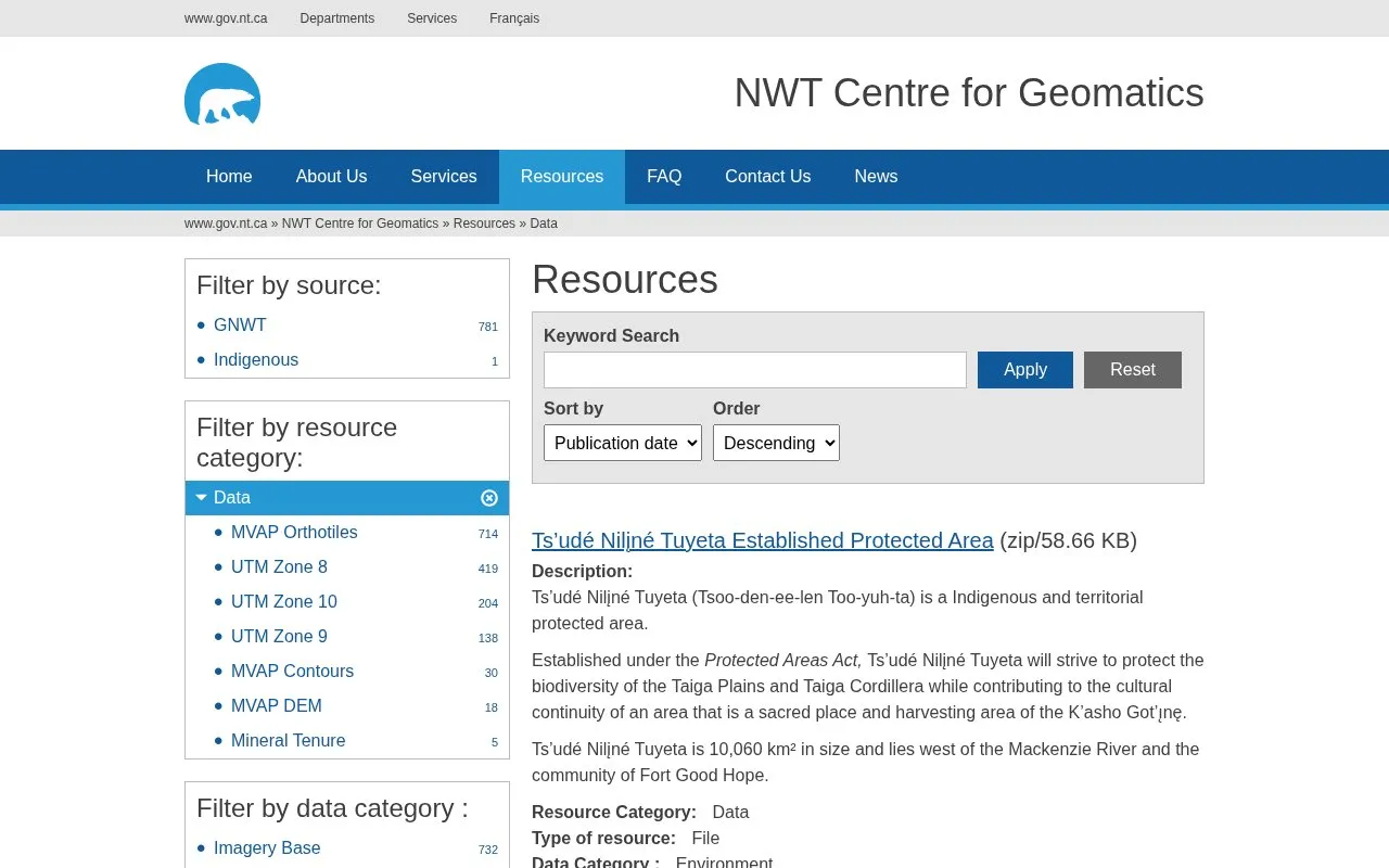
The NWT Centre for Geomatics resources page lists geographic data for the Northwest Territories (NWT), Canada. Most items are downloadable files in zipped format, and some are links to external download locations. Each item lists a resource category, a data category such as Environment, Biota, Economy, or Boundaries, and a source, usually the Government of the Northwest Territories (GNWT).
The listed datasets cover protected and conservation areas, mineral tenure, highway distance markers, boreal caribou range planning, fire history, species at risk ranges, and electoral district boundaries. The excerpt appears to be partial, so this entry does not describe every resource on the page. Some files are large, such as the fire history file at 241.34 MB and the linked boreal caribou package at 1.44 GB.
Key features
- Downloadable boundary files for established and proposed protected areas in the NWT
- Mineral tenure data for the Northwest Territories, provided as a linked download
- Point files marking highway distances at 2 km intervals on eight NWT highways
- Boreal caribou range planning layers, including fire history and human disturbance
- Electoral district boundaries for the 19 NWT electoral districts
- Species at risk range data for the Northwest Territories
Best for: Researchers, planners, and GIS users who need geographic datasets covering the Northwest Territories, such as protected area boundaries, wildlife range data, or transportation layers.
Good for
- Each listed resource gives a data category and a named source, such as GNWT.
- The boreal caribou package includes source and contact information in each layer's metadata.
- Resources are offered as both direct file downloads and linked downloads.
Watch out for
- Highway distance markers do not show the actual locations of the 2 km highway posts.
- Some files are very large, including a 1.44 GB linked package and a 241.34 MB file.
- The page excerpt is incomplete, so the full range of available datasets cannot be confirmed.
NWT Centre for Geomatics at a glance
- Category
- Research & Data › Climate & Environmental Data
- Type
- Website
- Pricing
- Not confirmed. Check the site
- Platforms
- Web
- Open source
- Not stated
- Language
- English
- Last checked
- Oct 6, 2026 · Online when checked
- Listed
- Oct 5, 2026
NWT Centre for Geomatics alternatives
Tools and sites you could use instead, ranked by how closely they match.
The Croydon Observatory shares data and information about the borough through mapping and reporting tools for public use.

Natural Resources Canada's Forest Change Data Catalogue contains maps, raw data, and interactive maps on forests across Canada.
ForestGEO reports a research network spanning sites in multiple countries and links to its plot information and publication database.

The Western Regional Climate Center provides climate services for the western United States and maps of current conditions.

The Atlantic Canada Conservation Data Centre provides biodiversity information for the region.
Popular in Climate & Environmental Data
Well-known listings from the same topic.
IOOS®ioos.noaa.govClouds and the Earth's Radiant Energy Systemceres.larc.nasa.govOCTOPUS databaseoctopusdata.orgVectorSurvvectorsurv.orgPAINTpaint-database.orgSIBiLSsibils.org


NWT Centre for Geomatics FAQ
Do the highway distance markers match the physical highway posts?
No. The file is a point shapefile placed every 2 kilometres from the start of each highway. The points do not represent the actual locations of the 2 km highway posts along the roadside.
Where can I find source and contact details for the boreal caribou data?
Data sources and contact information are listed within the metadata for each layer in the boreal caribou package.
Is something wrong or out of date?
Tell us and an editor will check it.
Own this website?
Claim this listing
Claim the listing and suggest updates yourself. An editor checks every claim first.