

biodiversity.aq provides searchable Antarctic biodiversity records through a map and species occurrence data.
Dataset
Ireland’s National Biodiversity Data Centre maps biodiversity observations and provides records, species, and dataset information.
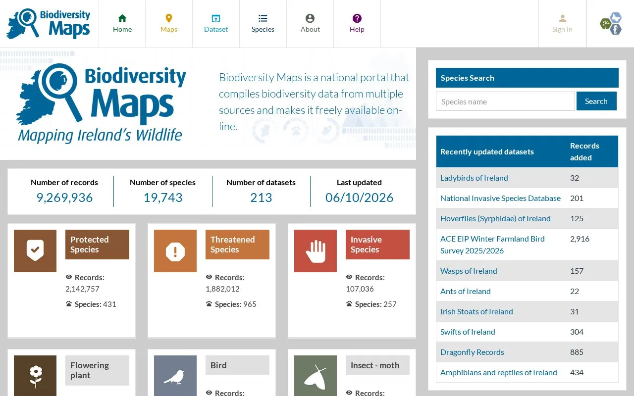
Biodiversity Maps is a national portal run by Ireland's National Biodiversity Data Centre. It compiles biodiversity data from multiple sources and presents observation records geographically on a map. The homepage describes it as covering both terrestrial and marine data, with a focus on Ireland.
The homepage lists 9,269,936 records, 19,743 species and 213 datasets, with a last-updated date of 06/10/2026. It also shows record and species counts for groups such as birds, moths, bees, flowering plants, protected species, threatened species and invasive species. Recently updated datasets are listed with the number of records added. Pricing is not stated.
Other listings in Climate & Environmental Data with the most in common.
biodiversity.aq provides searchable Antarctic biodiversity records through a map and species occurrence data.
EurOBIS publishes distribution data for marine species recorded in European waters or collected by European researchers elsewhere.
The Ocean Biodiversity Information System maps and provides marine biodiversity records searchable by species, datasets, and area.
FinBIF brings together collections and datasets about Finnish biodiversity, with tools to search, download, and share observations.
SBDI brings together Swedish biodiversity records and tools for research, education, and conservation.
VertNet lets visitors search biodiversity occurrence records, including observations of birds, mammals, and amphibians.
Well-known listings from the same topic.
Tell us and an editor will check it.
Claim the listing and suggest updates yourself. An editor checks every claim first.


