
Roubaix’s open data site lets visitors find and view geographic information published as open data.
OSM boundaries
OSM Boundaries extracts administrative boundaries from OpenStreetMap, with preview tools for viewing geographic divisions.
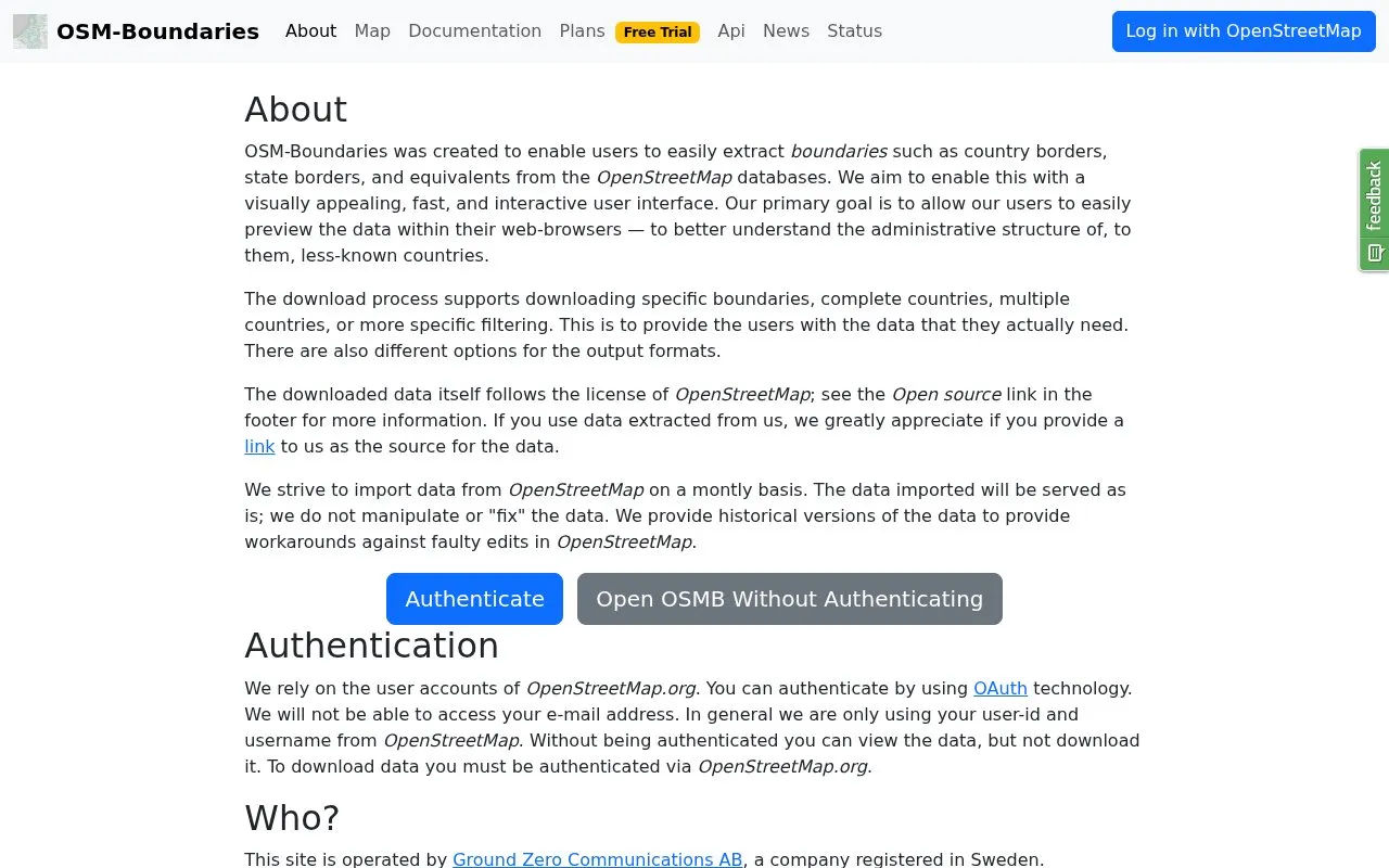
About OSM boundaries
OSM-Boundaries is a browser interface for viewing and extracting administrative boundaries from OpenStreetMap, including country, state and other administrative levels. You can preview boundaries on an interactive map, then download one boundary, a whole country, several countries or a filtered selection in different output formats. Viewing is open without an account, but downloads require signing in with an OpenStreetMap.org account through OAuth. Data is imported periodically, and older database versions are available.
Pricing is not clearly stated.
Key features
- Interactive map tree groups boundaries by administrative hierarchy
- Context menu can select all children or all descendants of an admin level
- Supports administrative boundaries plus historical and statistical boundary classes
- Download options can convert the spatial reference system
- Map can display name:en where a boundary has that tag
- Download form follows the selected database version
Best for: People and projects that need to preview and extract OpenStreetMap administrative boundary data online.
Good for
- Historical versions provide a workaround for faulty OpenStreetMap edits
Watch out for
- Data is served without corrections, so OpenStreetMap inaccuracies or temporary breakage can carry into downloads
- Boundaries with invalid, self-intersecting or non-closed polygons are not imported
OSM boundaries at a glance
- Website
- osm-boundaries.com
- Category
- Research & Data › Open Data & Datasets
- Type
- Online tool
- Pricing
- Not confirmed. Check the site
- Platforms
- Web
- Details verified
- Oct 22, 2026 · Official source
- Open source
- Not stated
- Language
- English
- Last checked
- Oct 5, 2026 · Online when checked
- Listed
- Oct 5, 2026
OSM boundaries alternatives
Tools and sites you could use instead, ranked by how closely they match.
The GRID3 Data Hub offers tools to visualize, analyze, and download data on population, settlements, boundaries, infrastructure, and services.

The Lisses portal lists municipal administrative records and other public data from the town in Essonne.
The KDK Repository lets visitors browse research by year, subject, division, author, and participating social science institutes.

The UN Population Division provides datasets on population, urbanization, migration, family planning, and related topics.

Prague’s geoportal provides geographic data and maps, including map applications, open data, map services, and planning resources.
Popular in Open Data & Datasets
Well-known listings from the same topic.
data.worlddata.worldNASA APIapi.nasa.govState of Hawaiidata.hawaii.govCosmoSimcosmosim.orgdata.meudon.frdata.meudon.frESS-DIVEess-dive.lbl.gov


OSM boundaries FAQ
What license applies to downloaded data?
Downloaded data follows the OpenStreetMap license.
Is something wrong or out of date?
Tell us and an editor will check it.
Own this website?
Claim this listing
Claim the listing and suggest updates yourself. An editor checks every claim first.