
Read a non-commercial encyclopedia covering cameras and photography equipment.
Free
24 alternativesPlan photography around sun and moon positions with The Photographer's Ephemeris, which includes location tools.
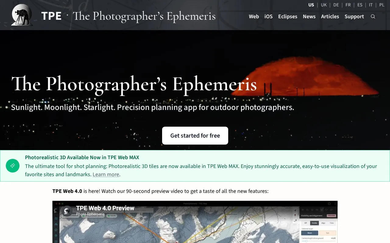
PhotoEphemeris provides The Photographer's Ephemeris (TPE), a tool for planning outdoor photography around sun, moon, and star positions. It shows sunrise and sunset direction on a map, sun movement across the day, and a timeline of events such as twilight times, golden hour, moon phase, meteor showers, and Milky Way orientation, with 3D views of light direction, shadows, and sightlines.
It is available as a desktop web app and an iOS app, with some capabilities differing by platform. Augmented reality overlay is described for iOS and as unavailable on desktop, where a 3D Celestial Sphere is offered, and photorealistic 3D tiles are described as available in TPE Web MAX.
Tools and sites you could use instead, ranked by how closely they match.
Read a non-commercial encyclopedia covering cameras and photography equipment.
Estimate where a photo was taken by uploading it to GeoSpy's image location detector.
Develop RAW photos and manage photography workflows with darktable, an open-source application.
Analyze images for hidden data with Aperi'Solve, which extracts layers and bit planes for steganography checks.
Inspect image layers and bit planes with Aperi'Solve's online steganography analysis platform.
Estimate where a photo was taken with Picarta's AI image location search by uploading an image.
Well-known listings from the same topic.
Tell us and an editor will check it.
Claim the listing and suggest updates yourself. An editor checks every claim first.


