
View camera settings, GPS coordinates and other EXIF data from an image with this free online viewer.
Pic2Map
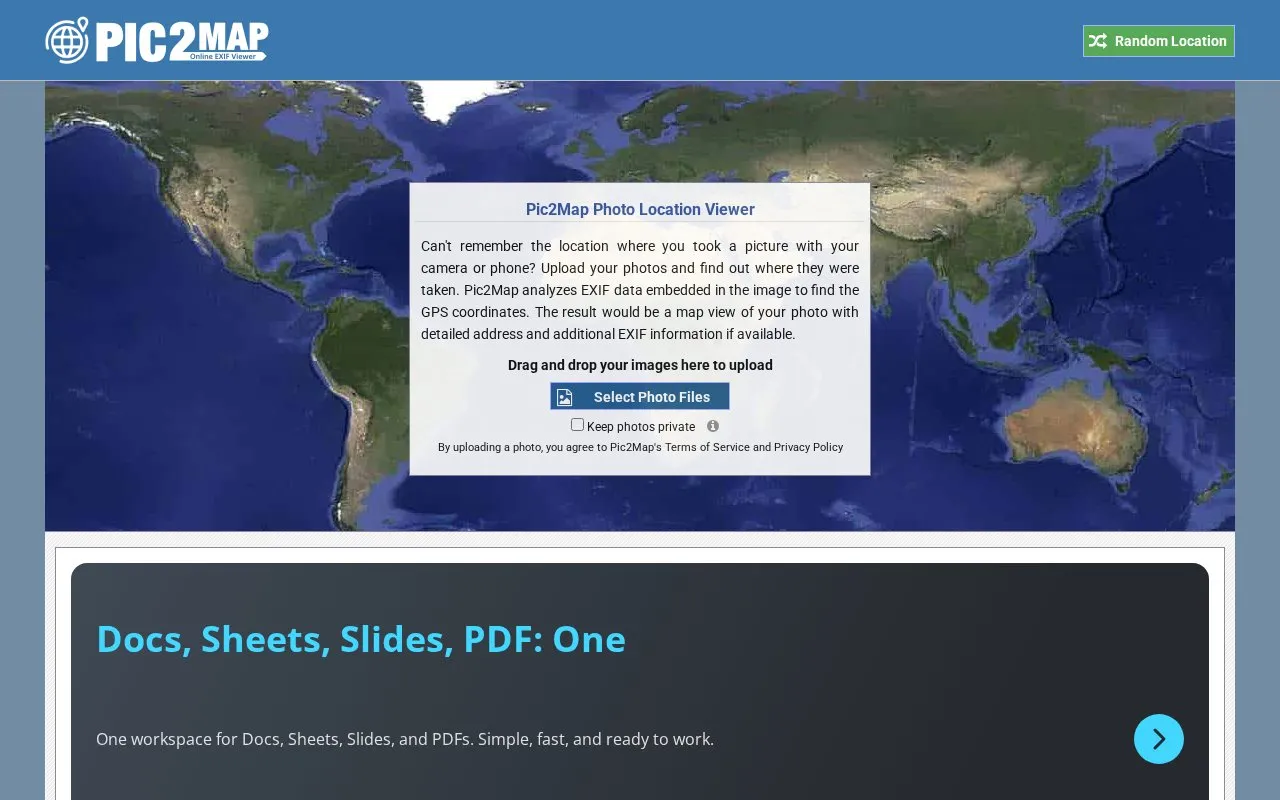
View a photo's location and EXIF data on a map with Pic2Map's online viewer.
About Pic2Map
Pic2Map is an online EXIF data viewer. It reads the metadata stored in digital camera, smartphone, and tablet photos and shows the photo's location on Google Maps. EXIF stands for Exchangeable Image File, a standard format for storing information in JPEG image files.
If the recording device had a built-in GPS receiver and geotagging enabled, the viewer extracts latitude, longitude, altitude, and direction. It then places the location on a map and reverse geocodes the coordinates to a street address where possible. Photos without GPS data can still be viewed for their EXIF information, such as camera settings and capture date. Whether a location appears depends on the photo's metadata.
Key features
- Places a photo's GPS location on Google Maps
- Extracts latitude, longitude, altitude, and direction from geotagged photos
- Reverse geocodes coordinates to a detailed address where possible
- Displays shutter speed, F number, ISO speed, and flash status
- Shows date and time, white balance, lens information, and resolution
- Displays EXIF data for photos that have no GPS data
Best for: Photographers and people who want to check where a photo was taken and what camera settings were used, based on the image's metadata.
Good for
- Shows EXIF camera settings even when a photo has no GPS data
- Combines a map location with a detailed listing of photo metadata
Watch out for
- A location is shown only if the device had GPS and geotagging enabled
- Address lookup is returned only where it is possible
Pic2Map at a glance
- Website
- pic2map.com
- Category
- Design & Creative › Photography
- Type
- Website
- Pricing
- Not confirmed. Check the site
- Platforms
- Web
- Open source
- Not stated
- Language
- English
- Last checked
- Oct 6, 2026 · Online when checked
- Listed
- Oct 5, 2026
Pic2Map alternatives
Tools and sites you could use instead, ranked by how closely they match.
View EXIF, IPTC and XMP metadata from JPEG photos with this online image viewer.
Extract EXIF camera information from JPEG images with this online metadata viewer.
View or remove EXIF data from photos online with this multilingual metadata tool.

Remove EXIF data from photos before sharing them with this GitLab-hosted utility.

Estimate where a photo was taken with Picarta's AI image location search by uploading an image.
Popular in Photography
Well-known listings from the same topic.
Darktablegithub.com/darktable-org/darktableRawTherapeerawtherapee.comOpenStegoopenstego.comdarktabledarktable.orgRedactedredacted.appexiftoolexiftool.org


Pic2Map FAQ
Can Pic2Map show a location for a photo without GPS data?
No location is shown unless the recording device had a GPS receiver and geotagging was enabled. The viewer still displays the photo's EXIF data.
What kind of EXIF information does Pic2Map display?
Depending on the camera, it can show shutter speed, exposure compensation, F number, ISO speed, flash usage, date and time, white balance, auxiliary lenses, and resolution.
Does Pic2Map always give a street address?
No. It reverse geocodes the coordinates to a detailed address only if possible.
Is something wrong or out of date?
Tell us and an editor will check it.
Own this website?
Claim this listing
Claim the listing and suggest updates yourself. An editor checks every claim first.