

The SLIDER explorer displays satellite imagery from GOES-16 and Himawari-8 with interactive playback and overlays.
SpaceFromSpace
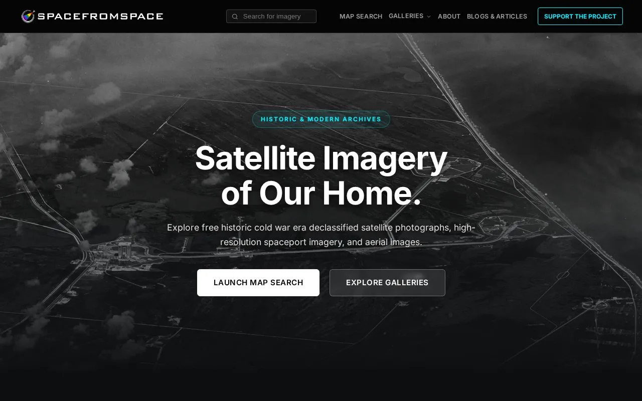
SpaceFromSpace archives declassified Cold War satellite imagery and modern spaceport photographs on interactive maps.
About SpaceFromSpace
SpaceFromSpace archives declassified Cold War satellite imagery and modern photographs of spaceports on interactive maps. Historical scenes are stitched and georeferenced from raw USGS datasets to align with the modern globe, including imagery from the CORONA, GAMBIT, and HEXAGON programs.
The site reports over 1,000 images covering 90+ countries, with listed examples from the 1960s and 1970s. It is maintained by one person and offers a monthly email about new imagery and coverage updates.
Key features
- Interactive map explorer for historic reconnaissance photography
- Georeferenced Cold War images stitched from USGS datasets
- Modern high-resolution views of global launch facilities
- Archive of over 1,000 images across 90+ countries
- Imagery from CORONA, GAMBIT, and HEXAGON programs
- Monthly email updates on new imagery and coverage
Best for: People interested in Cold War reconnaissance photography, historical landscapes, and launch facilities who want to view georeferenced imagery on a map.
Good for
- Images are stitched and georeferenced to align with the modern globe
- Reports over 1,000 images across 90+ countries
- Includes both Cold War reconnaissance and modern spaceport imagery
SpaceFromSpace at a glance
- Website
- spacefromspace.com
- Category
- Education & Learning › Space & Astronomy
- Type
- Website
- Pricing
- Not confirmed. Check the site
- Platforms
- Web
- Open source
- Not stated
- Language
- English
- Last checked
- Oct 5, 2026 · Online when checked
- Listed
- Oct 5, 2026
SpaceFromSpace alternatives
Tools and sites you could use instead, ranked by how closely they match.

Planet presents satellite imagery of Earth, including a visualization of images captured across a single day.

Satellite Map tracks satellites in real time on an interactive 3D map.

NASA Worldview provides an interactive interface for browsing full-resolution daily satellite images from around the globe.

NASA History provides material about the agency's history, including archives and historical research resources.

NASA’s Image and Video Library combines searchable imagery and video with downloads and associated metadata.
Pick
24 alternativesPopular in Space & Astronomy
Well-known listings from the same topic.
NASAnasa.govFirstMenOnTheMoonfirstmenonthemoon.comVisible Earthvisibleearth.nasa.govJPL Photojournalphotojournal.jpl.nasa.govSensen.comESAesa.int


SpaceFromSpace FAQ
Where does the historical imagery come from?
The site states that scenes are stitched and georeferenced from raw USGS datasets.
Which reconnaissance programs are included?
The archive description lists the CORONA, GAMBIT, and HEXAGON programs.
How often is the email newsletter sent?
Once a month, with new imagery, coverage updates, and archive news.
Is something wrong or out of date?
Tell us and an editor will check it.
Own this website?
Claim this listing
Claim the listing and suggest updates yourself. An editor checks every claim first.