

Track The Sky tracks more than 9,000 satellites in real time on an interactive map.
Satellite Map
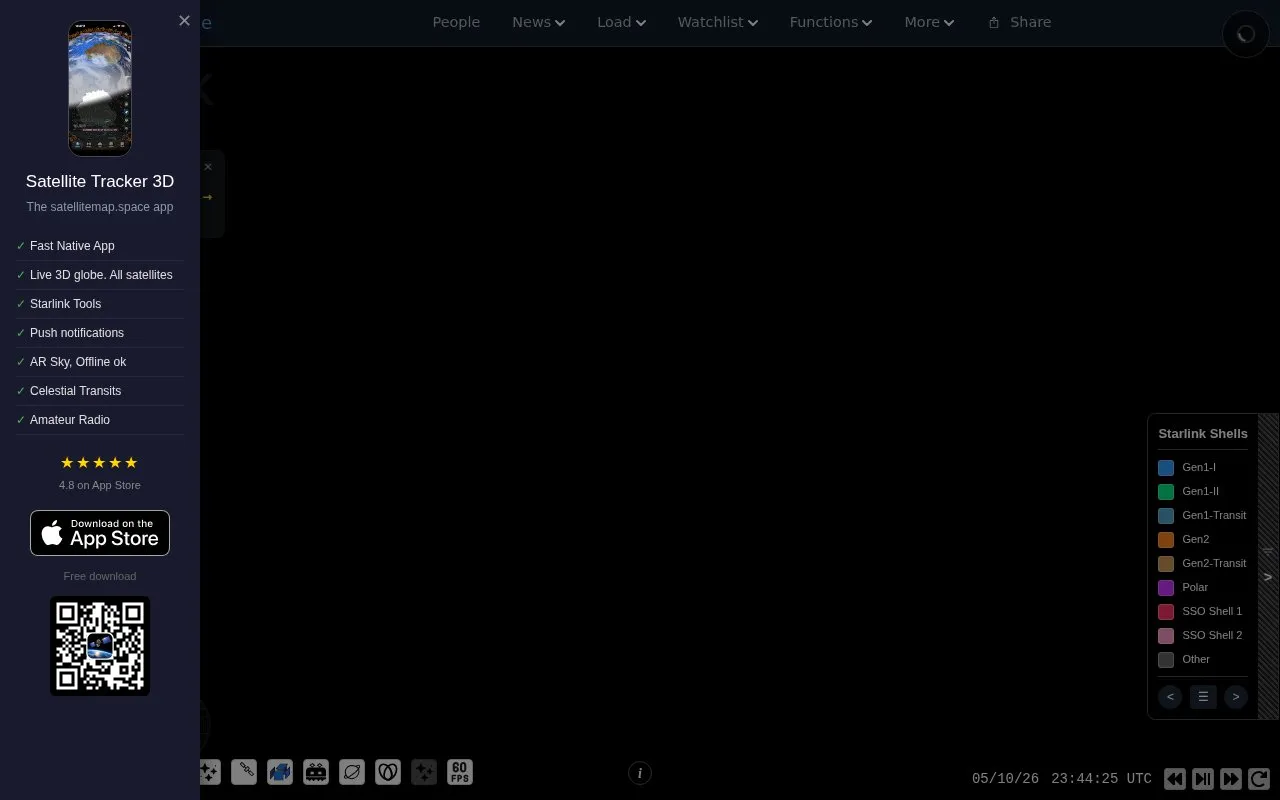
Satellite Map tracks satellites in real time on an interactive 3D map.
About Satellite Map
Satellite Map tracks live satellite positions on an interactive 3D map, including Starlink, GPS, space stations and rocket bodies. It shows constellation data such as growth, launches, decays, orbits and ground stations, with tools for watchlists, visible passes and CSV export.
Launch History and Constellation Events sections are listed as coming soon.
Key features
- Live 3D map of Starlink, GPS and other constellations
- View space stations, rocket bodies and Starlink trains
- Check satellite passes visible from your location
- Monitor constellation growth, launches, decays and orbits
- Create and edit a personal satellite watchlist
- Export constellation data to CSV
Best for: People who want to follow live satellites and constellation activity on a map.
Good for
- Covers multiple constellations plus stations and rocket bodies
- Offers watchlist, CSV export and orbit analysis tools
- Operating since 2019
Watch out for
- Launch History table is listed as coming soon
- Constellation Events section is listed as coming soon
Satellite Map at a glance
- Website
- satellitemap.space
- Category
- Education & Learning › Space & Astronomy
- Type
- Website
- Pricing
- Not confirmed. Check the site
- Platforms
- iOS, Web
- Open source
- Not stated
- Last checked
- Oct 5, 2026 · Online when checked
- Listed
- Oct 5, 2026
Satellite Map alternatives
Tools and sites you could use instead, ranked by how closely they match.

KeepTrack tracks more than 37,000 satellites in real time and provides user profiles and achievements.

The ISS in Real Time page is titled as a live International Space Station tracking resource.

This project demonstrates real-time three-dimensional satellite visualization in a browser using SGP4GL, CesiumJS, and Next.js.
Open source
24 alternatives
SpaceFromSpace archives declassified Cold War satellite imagery and modern spaceport photographs on interactive maps.

The SLIDER explorer displays satellite imagery from GOES-16 and Himawari-8 with interactive playback and overlays.
Popular in Space & Astronomy
Well-known listings from the same topic.
Imagesimages.nasa.govNASAnasa.govHistorynasa.gov/historyFirstMenOnTheMoonfirstmenonthemoon.comVisible Earthvisibleearth.nasa.govJPL Photojournalphotojournal.jpl.nasa.gov


Is something wrong or out of date?
Tell us and an editor will check it.
Own this website?
Claim this listing
Claim the listing and suggest updates yourself. An editor checks every claim first.