

Sen provides live 4K video views of Earth captured by its satellites in space.
Find Starlink
Find Starlink helps users calculate when Starlink satellites can be seen overhead, with a live map.
About Find Starlink
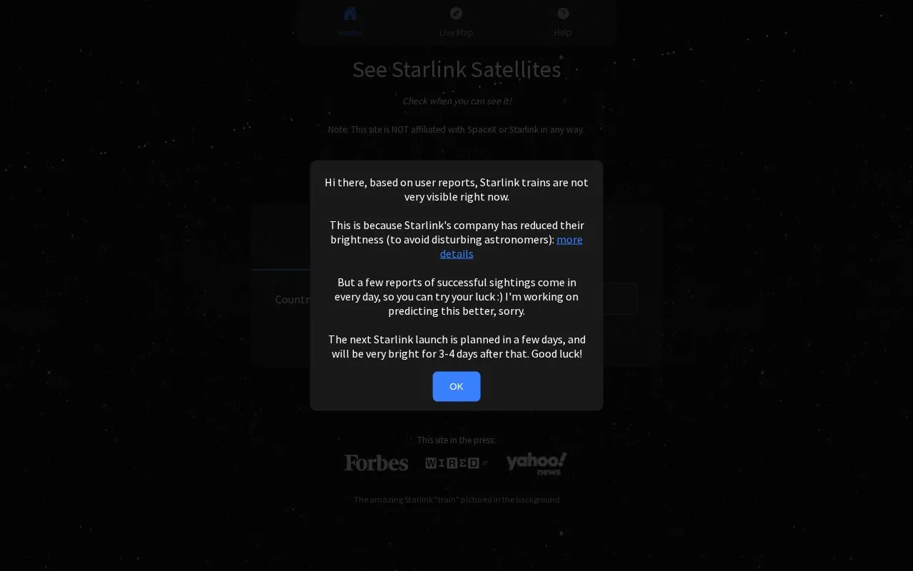
Find Starlink calculates when Starlink satellites are expected to be visible above a user's location. Results show local times, brightness magnitude labeled BRIGHT or DIM, viewing direction, elevation angles, duration, and sunrise and sunset times, with a live map of current positions. The site tracks only the first satellite in each chain formation and no longer includes older groups that have spread out. Timings are not 100% accurate and actual times may vary by 10 minutes.
Key features
- Calculate visible Starlink passes for user location
- Display local pass times with daylight-saving adjustment
- Show brightness magnitude with BRIGHT/DIM labels
- Show viewing direction and elevation angles per pass
- Live map of current satellite positions
- iPhone/iPad and Android apps with reminders
Best for: People who want to know when to look for Starlink satellite chains from their location.
Good for
- Times are shown in local time with daylight-saving adjustments included
- Results include direction, elevation, duration and brightness details
- Mobile apps are available to set reminders
Watch out for
- Timings are not 100% accurate and may vary by 10 minutes
- Tracks only the first satellite in each chain, not every satellite
- Older dispersed Starlink groups are no longer included
Find Starlink at a glance
- Website
- findstarlink.com
- Category
- Education & Learning › Space & Astronomy
- Type
- Website
- Pricing
- Not confirmed. Check the site
- Platforms
- Android, iOS, Web
- Open source
- Not stated
- Language
- English
- Last checked
- Oct 5, 2026 · Online when checked
- Listed
- Oct 5, 2026
Find Starlink alternatives
Tools and sites you could use instead, ranked by how closely they match.

Space Atlas tracks satellites and rocket bodies on a live 3D map, with history extending from Sputnik to today.

ISS Tracker shows the location of the International Space Station and other satellites on a live map.

Satellite Map tracks satellites in real time on an interactive 3D map.

Live Meteors lets visitors listen to meteor radio pings and explains how the system works.

Space Telescope Live provides information on current, past, and upcoming Hubble and James Webb telescope investigations.
Popular in Space & Astronomy
Well-known listings from the same topic.
Imagesimages.nasa.govNASAnasa.govHistorynasa.gov/historyFirstMenOnTheMoonfirstmenonthemoon.comVisible Earthvisibleearth.nasa.govJPL Photojournalphotojournal.jpl.nasa.gov


Find Starlink FAQ
What does the number next to BRIGHT/DIM mean?
It is the brightness magnitude. The smaller the number, the brighter it is.
Do I need to convert times to my timezone?
No. The time is always local and daylight-saving adjustments are already included if required.
Should I trust the Live Map or the Results page?
Trust the Results page. Satellites travel nearly 500 km/300 miles every minute, so the map can show them far away while they are still visible because they are high in the sky.
Is something wrong or out of date?
Tell us and an editor will check it.
Own this website?
Claim this listing
Claim the listing and suggest updates yourself. An editor checks every claim first.