

Satellite Map tracks satellites in real time on an interactive 3D map.
Track The Sky
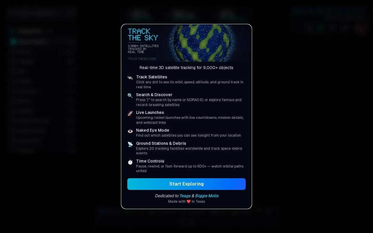
Track The Sky tracks more than 9,000 satellites in real time on an interactive map.
About Track The Sky
Track The Sky displays more than 9,000 satellites in real time on an interactive 3D globe, using live orbital data from CelesTrak updated every two hours. It includes categories such as space stations, Starlink, GPS and other navigation systems, weather, science, and debris.
Users can click a satellite to see its orbit path, ground track, altitude, and velocity, get overhead pass predictions for their location, and search by name or NORAD catalog number. Browser pass alerts work only while a Track The Sky tab is open.
Key features
- Real-time satellite propagation using SGP4/SDP4 orbital mechanics
- Interactive 3D globe showing orbit path, ground track and footprint
- Overhead pass predictions for observer location with geolocation support
- Search by satellite name or NORAD catalog number
- Time controls to pause and fast-forward at 10x, 60x, 600x
- Sky View polar plot with azimuth and elevation for overhead satellites
Best for: People who want to follow the ISS, Starlink, navigation, weather, and other satellites in real time.
Good for
- Live orbital data from CelesTrak updated every two hours
- Covers stations, Starlink, navigation, weather, science, and debris categories
- Click any satellite for orbit path, altitude, velocity, and ground track
Watch out for
- Pass alert browser notifications work only while a Track The Sky tab is open
- Military tracking limited to publicly catalogued defense satellites
Track The Sky at a glance
- Website
- trackthesky.com
- Category
- Education & Learning › Space & Astronomy
- Type
- Website
- Pricing
- Not confirmed. Check the site
- Platforms
- Web
- Open source
- Not stated
- Language
- English
- Last checked
- Oct 5, 2026 · Online when checked
- Listed
- Oct 5, 2026
Track The Sky alternatives
Tools and sites you could use instead, ranked by how closely they match.

KeepTrack tracks more than 37,000 satellites in real time and provides user profiles and achievements.

The ISS in Real Time page is titled as a live International Space Station tracking resource.

Space Atlas tracks satellites and rocket bodies on a live 3D map, with history extending from Sputnik to today.

Celestia for Android is a real-time space simulator for exploring the solar system on an Android device.
Open source
24 alternatives
This project demonstrates real-time three-dimensional satellite visualization in a browser using SGP4GL, CesiumJS, and Next.js.
Open source
24 alternativesPopular in Space & Astronomy
Well-known listings from the same topic.
Imagesimages.nasa.govNASAnasa.govHistorynasa.gov/historyFirstMenOnTheMoonfirstmenonthemoon.comVisible Earthvisibleearth.nasa.govJPL Photojournalphotojournal.jpl.nasa.gov


Track The Sky FAQ
How often is the orbital data updated?
Live orbital data from CelesTrak is updated every two hours.
How do satellite pass alerts work?
Browser notifications provide a 5-minute advance warning and require a Track The Sky tab to stay open.
How can I find a specific satellite?
Search by satellite name or NORAD catalog number.
Is something wrong or out of date?
Tell us and an editor will check it.
Own this website?
Claim this listing
Claim the listing and suggest updates yourself. An editor checks every claim first.