
KartaView provides a map-based interface for viewing street-level imagery.
Tangram Heightmapper
Tangram Heightmapper displays terrain imagery, with an API key required for imagery beyond zoom level three.
About Tangram Heightmapper
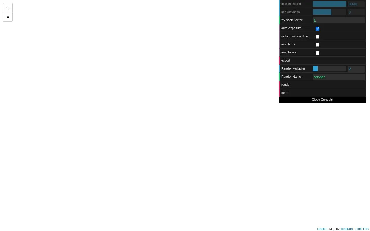
Tangram Heightmapper is an elevation data browser that shows terrain as a grayscale heightmap, with the highest and lowest visible elevations displayed as white and black. Users can turn off auto-expose to set minimum and maximum heights manually, export the current view as an image for use as a displacement map in 3D applications, and check the z:x scale factor to size a 3D mesh.
Terrain data comes from Mapzen's global terrain tiles. An API key is required to load terrain imagery past zoom level 3.
Key features
- Auto-exposes display so highest and lowest elevations show as white and black
- Set minimum and maximum height levels manually
- Export current view as image in a new tab
- Shows z:x scale factor for true-scale mesh sizing
- Toggle interface visibility with the 'h' key
- Load imagery past zoom level 3 with API key
Best for: People making 3D terrain models who need grayscale heightmaps for displacement maps.
Good for
- Exports views as images usable as displacement maps in 3D applications
- Allows manual control of minimum and maximum height levels
- Provides z:x scale factor for true-scale mesh sizing
Watch out for
- Requires an API key to load terrain imagery past zoom level 3
Tangram Heightmapper at a glance
- Category
- Travel & Maps › Maps, Navigation & Weather
- Type
- Website
- Pricing
- Not confirmed. Check the site
- Platforms
- Web
- Open source
- Not stated
- Language
- English
- Last checked
- Oct 5, 2026 · Online when checked
- Listed
- Oct 5, 2026
Tangram Heightmapper alternatives
Tools and sites you could use instead, ranked by how closely they match.

Earth displays forecast wind, weather, ocean, and pollution conditions on an animated global map updated every three hours.

miniLondon3d displays real-time positions of London Underground trains on a three-dimensional map.

OpenTopoMap displays topographic maps built from OpenStreetMap data for exploring terrain and locations.
Popular in Maps, Navigation & Weather
Well-known listings from the same topic.
OpenWeatherMapopenweathermap.org511on.ca511on.caFIRMSfirms.modaps.eosdis.nasa.gov/mapWeather History & Data Archivewunderground.com/historyORBISorbis.stanford.eduEarth Engine Datasetdevelopers.google.com/earth-engine/datasets


Tangram Heightmapper FAQ
How do I save the current view?
Click export to open the current view as an image in a new tab, then use Save As to save it to disk.
How do I see terrain past zoom level 3?
Enter your API key in the field provided to load terrain imagery past zoom level 3.
What does the z:x scale factor describe?
It describes how high the current view is on the z-axis relative to how wide it is on the x-axis.
Is something wrong or out of date?
Tell us and an editor will check it.
Own this website?
Claim this listing
Claim the listing and suggest updates yourself. An editor checks every claim first.