

OpenWeather provides APIs for current conditions, forecasts, historical weather, pollution, energy, and environmental data.
FreemiumPick
19 alternativesEarth displays forecast wind, weather, ocean, and pollution conditions on an animated global map updated every three hours.
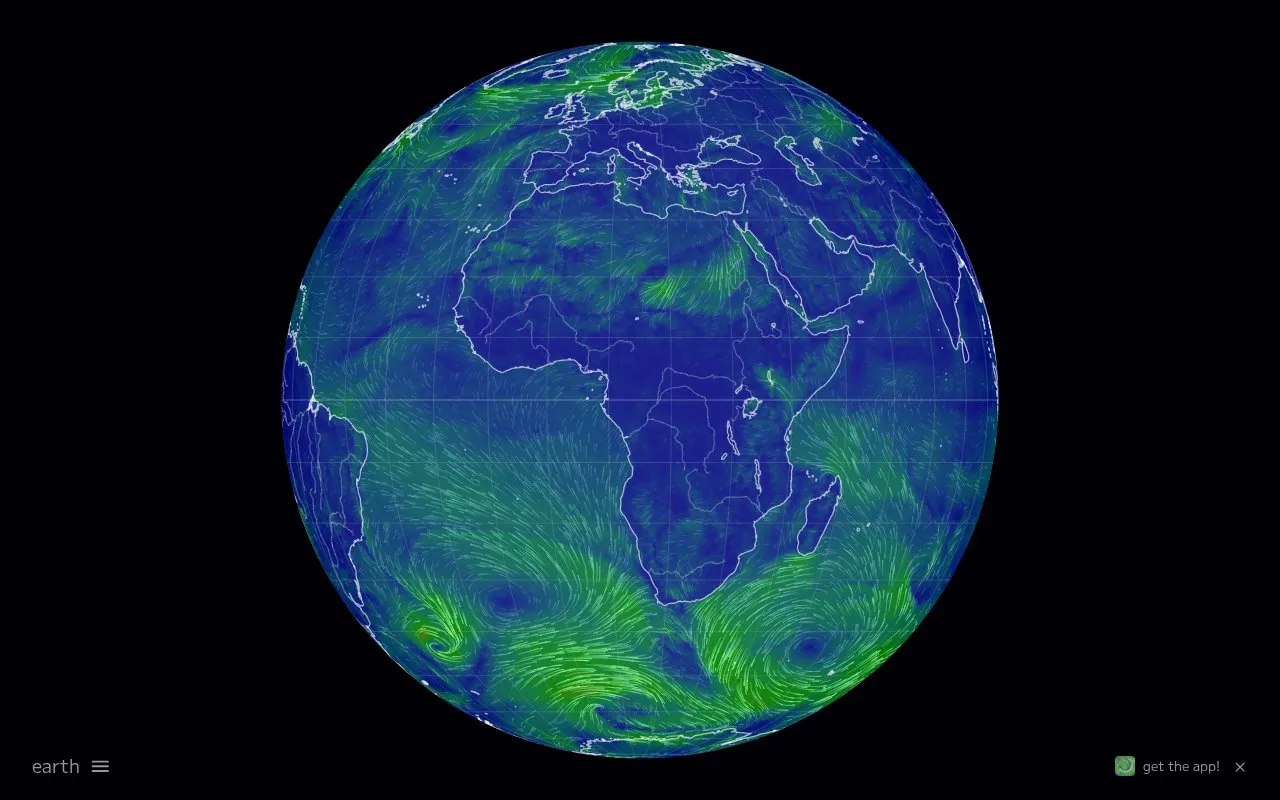
Earth is a web-based global map that displays forecast wind, weather, ocean and pollution conditions. The animated map is updated every three hours and can show current conditions or a chosen date. It runs in a browser and is aimed at people who want to see environmental data on a world map rather than read text forecasts.
Users can switch between modes for air, ocean, atmospheric chemistry, particulates, space weather and biology. Within each mode, overlays cover variables such as wind speed, temperature, relative humidity, precipitation, ocean currents, wave period and height, sea surface temperature, carbon monoxide, carbon dioxide, sulfur dioxide, nitrogen dioxide and different particulate matter sizes. A date selector, timezone and unit controls let users adjust what is shown. Animation can be started or stopped, and a high-definition mode, grid and map projections are available.
The site supports multiple languages and a classic base map. Data is downloaded from sources including NOAA servers, and a notice on the site warns that access could be disrupted. It suits weather watchers, travelers, students, educators and anyone needing a visual view of global conditions.
Tools and sites you could use instead, ranked by how closely they match.
OpenWeather provides APIs for current conditions, forecasts, historical weather, pollution, energy, and environmental data.
Snow Forecast offers customizable maps for snow conditions and weather variables such as rain, temperature, cloud, wind, and pressure.
Xweather displays global weather with real-time radar layers and forecast information.
Windy maps weather forecasts for wind, waves, and radar, with layers, location forecasts, and airport notices.
Ventusky provides live wind, rain, radar and temperature maps with more than 50 weather layers and detailed forecasts, using data from ECMWF, GFS, ICON and GEM models.
Zoom Earth provides interactive weather and radar maps for tracking storms and viewing satellite images and forecasts.
Well-known listings from the same topic.
Tell us and an editor will check it.
Claim the listing and suggest updates yourself. An editor checks every claim first.


