

Ventusky provides live wind, rain, radar and temperature maps with more than 50 weather layers and detailed forecasts, using data from ECMWF, GFS, ICON and GEM models.
Zoom Earth
Zoom Earth provides interactive weather and radar maps for tracking storms and viewing satellite images and forecasts.
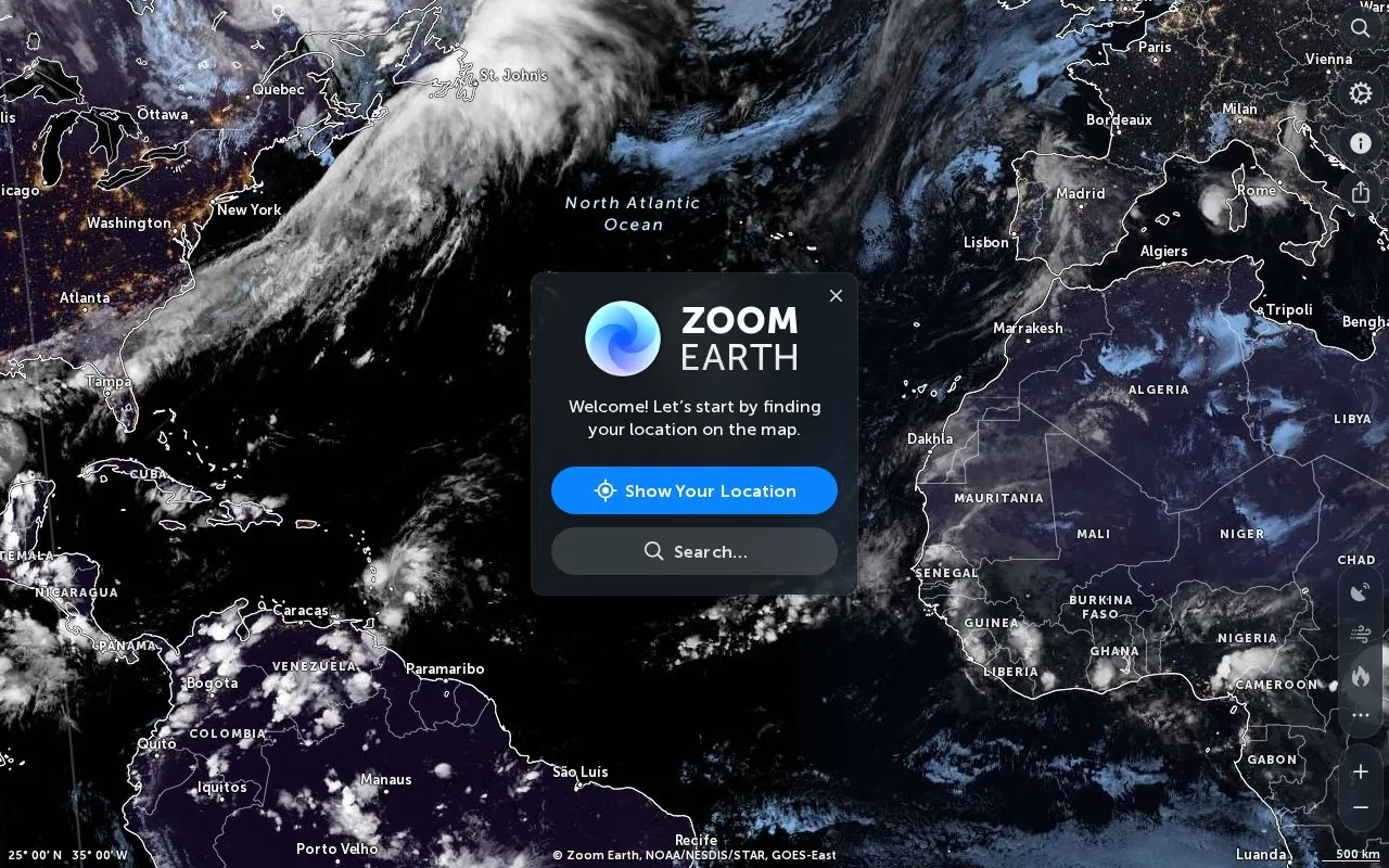
About Zoom Earth
Zoom Earth provides interactive weather and radar maps for tracking hurricanes, cyclones, and storms, with satellite images, rain maps, and forecast maps of wind and temperature for a location.
It includes tools to measure distance and area, search for places, and show current location, with apps for iPhone, iPad, and Android. Forecasts use DWD ICON and NOAA GFS model data, while heat-spot detections are updated daily, delayed by many hours, and have limited accuracy.
Key features
- Track hurricanes, cyclones, and storms on interactive map
- View live satellite images and rain maps
- View forecast maps of wind and temperature
- Measure distance and area by adding map points
- Search for places and show current location
- Mobile app for iPhone, iPad, and Android
Best for: People who want to follow storms and check satellite, radar, and forecast maps.
Good for
- Forecasts are updated with DWD ICON and NOAA GFS model data
- Radar data is processed in real time from worldwide sources
- Live satellite imagery comes from NOAA, EUMETSAT, and JMA satellites
Watch out for
- Heat-spot detections are updated daily, not live, and delayed by many hours
- Clouds may prevent detection of heat spots
- Heat-spot data has limited accuracy and is not for protection of life or property
Zoom Earth at a glance
- Website
- zoom.earth
- Category
- Travel & Maps › Maps, Navigation & Weather
- Type
- Online tool
- Pricing
- Not confirmed. Check the site
- Platforms
- Android, iOS, Web
- Open source
- Not stated
- Language
- English
- Last checked
- Oct 5, 2026 · Online when checked
- Listed
- Oct 5, 2026
Zoom Earth alternatives
Tools and sites you could use instead, ranked by how closely they match.

Windy maps weather forecasts for wind, waves, and radar, with layers, location forecasts, and airport notices.

Xweather displays global weather with real-time radar layers and forecast information.

Earth displays forecast wind, weather, ocean, and pollution conditions on an animated global map updated every three hours.

OpenWeather provides APIs for current conditions, forecasts, historical weather, pollution, energy, and environmental data.
FreemiumPick
19 alternatives
Snow Forecast offers customizable maps for snow conditions and weather variables such as rain, temperature, cloud, wind, and pressure.
Popular in Maps, Navigation & Weather
Well-known listings from the same topic.
511on.ca511on.caFIRMSfirms.modaps.eosdis.nasa.gov/mapWeather History & Data Archivewunderground.com/historyORBISorbis.stanford.eduEarth Engine Datasetdevelopers.google.com/earth-engine/datasetsAP Transitaptransit.co


Zoom Earth FAQ
Are heat spots shown live?
No. Detections are updated daily, delayed by many hours, and clouds may prevent detection.
Where does Zoom Earth get forecast data?
From DWD ICON and NOAA/NCEP/NWS GFS global model data.
Is there a mobile app?
Yes, for iPhone and iPad on the App Store and for Android on Google Play.
Is something wrong or out of date?
Tell us and an editor will check it.
Own this website?
Claim this listing
Claim the listing and suggest updates yourself. An editor checks every claim first.