
Organic Maps offers free offline maps and GPS navigation as an open-source mobile app.
Mobac
Mobile Atlas Creator prepares offline map atlases for GPS handheld devices.
About Mobac
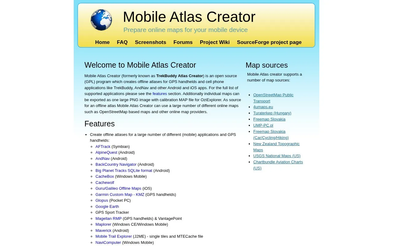
Mobile Atlas Creator (MOBAC) creates offline map atlases from online map sources, including OpenStreetMap-based maps, for GPS handhelds and phone apps such as TrekBuddy, AndNav, OruxMaps and OsmAnd. It can also export an individual map as a single PNG image with a MAP calibration file for OziExplorer.
Atlases can combine multiple layers, map sources and zoom levels, with custom tile size and PNG/JPG format, saved profiles, local tile caching and multithreaded downloading through an HTTP proxy. It requires Java Runtime Environment 11 or higher installed and a high-speed internet connection while running.
Key features
- Create offline atlases for many GPS handheld and phone apps
- Use OpenStreetMap-based maps and other online sources
- Combine multiple layers, sources and zoom levels in one atlas
- Export single PNG with MAP calibration file for OziExplorer
- Set custom tile size and PNG/JPG image format
- Download tiles with configurable multithreaded connections via HTTP proxy
Best for: People who need offline maps on GPS handhelds or phone apps such as TrekBuddy, OsmAnd and OruxMaps.
Good for
- Supports output for many handheld and mobile applications
- Combines multiple layers, sources and zoom levels in one atlas
- Caches tiles locally to avoid downloading the same tiles again
Watch out for
- Requires Java Runtime Environment 11 or higher to be installed
- Requires a high-speed internet connection while running
Mobac at a glance
- Website
- mobac.sourceforge.io
- Category
- Travel & Maps › Maps, Navigation & Weather
- Type
- Website
- Pricing
- Not confirmed. Check the site
- Platforms
- Android, iOS, Web, Windows
- Open source
- Not stated
- Last checked
- Oct 5, 2026 · Online when checked
- Listed
- Oct 5, 2026
Mobac alternatives
Tools and sites you could use instead, ranked by how closely they match.
Popular in Maps, Navigation & Weather
Well-known listings from the same topic.
OpenWeatherMapopenweathermap.org511on.ca511on.caFIRMSfirms.modaps.eosdis.nasa.gov/mapWeather History & Data Archivewunderground.com/historyORBISorbis.stanford.eduEarth Engine Datasetdevelopers.google.com/earth-engine/datasets


Mobac FAQ
What is needed to run Mobile Atlas Creator?
Java Runtime Environment 11 or higher, with Adoptium OpenJDK 17 recommended, and a high-speed internet connection while it is running.
Which apps and devices can use the atlases?
Many GPS handhelds and mobile apps, including TrekBuddy, AndNav, OruxMaps, OsmAnd, AlpineQuest and Garmin Custom Map KMZ, with the full list in the features section.
Can I export a map for OziExplorer?
Yes, an individual map can be exported as one PNG image with a calibration MAP file.
Is something wrong or out of date?
Tell us and an editor will check it.
Own this website?
Claim this listing
Claim the listing and suggest updates yourself. An editor checks every claim first.