
Map Myths explores phantom geographic features through an interactive collection of historical maps.
TextToMap
TextToMap creates interactive maps from text, images, websites, and other content.
About TextToMap
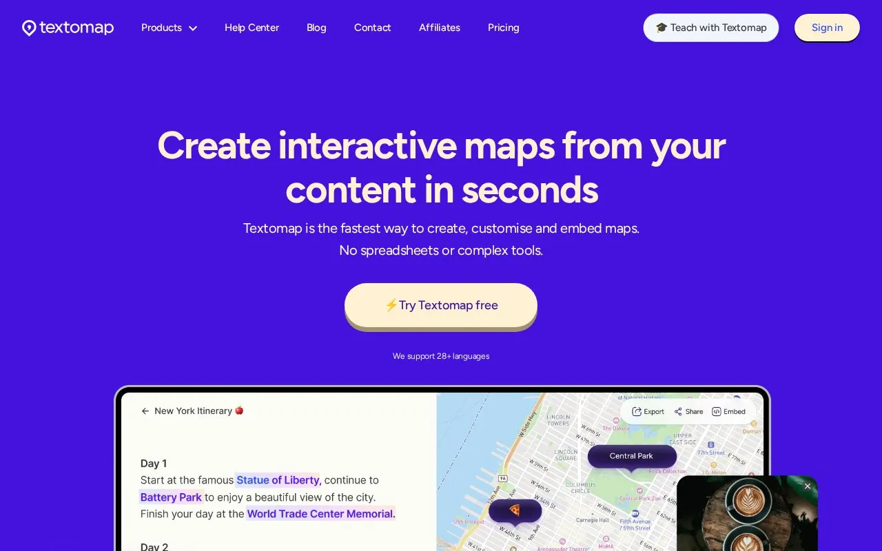
TextToMap is a web tool that creates interactive maps from text, images, prompts, questions, CSVs, and URLs. Users provide content and the site generates a map showing the locations found in it.
You can save maps and edit them after signing in. Maps can be shared via link, LinkedIn, Facebook, and X, or opened in Google Maps. The service also offers a Chrome extension and a WordPress plugin, with account access to My Maps. CSV export and embed options are listed as Pro.
It suits students, teachers, and others who work with written material, websites, or data files that mention places. Signing in is required to generate maps from images, websites, and data files, and to save and edit maps. A Help Center, blog, and contact page provide additional information.
Key features
- Generate interactive maps from text, prompts and questions
- Create maps from images, websites and data files
- Convert CSV files and URLs into maps
- Share maps via link, LinkedIn, Facebook and X
- Open generated maps in Google Maps
- Access via web, Chrome extension and WordPress plugin
Best for: Students, teachers, and anyone who needs maps from text, images, or web content.
Good for
- Supports multiple input types including text and URLs
- Offers Chrome extension and WordPress plugin
- Allows sharing and Google Maps opening
Watch out for
- Sign-in required to save and edit maps
- Sign-in required for maps from images and websites
- CSV export and embed listed as Pro
TextToMap at a glance
- Website
- textomap.com
- Category
- Travel & Maps › Maps, Navigation & Weather
- Type
- Website
- Pricing
- Not confirmed. Check the site
- Platforms
- Browser extension, Web
- Open source
- Not stated
- Last checked
- Oct 5, 2026 · Online when checked
- Listed
- Oct 5, 2026
TextToMap alternatives
Tools and sites you could use instead, ranked by how closely they match.

World History Maps provides interactive and static historical maps with a searchable archive.

Soar provides interactive and historical maps for users to explore and download.

Zoom Earth provides interactive weather and radar maps for tracking storms and viewing satellite images and forecasts.
Popular in Maps, Navigation & Weather
Well-known listings from the same topic.
OpenWeatherMapopenweathermap.org511on.ca511on.caFIRMSfirms.modaps.eosdis.nasa.gov/mapWeather History & Data Archivewunderground.com/historyORBISorbis.stanford.eduEarth Engine Datasetdevelopers.google.com/earth-engine/datasets


TextToMap FAQ
What does TextToMap do?
It creates interactive maps from content such as text, images, prompts, questions, CSVs, and URLs.
Do I need to sign in to use TextToMap?
Sign-in is required to save and edit maps and to generate maps from images, websites, and data files.
Does TextToMap have a browser extension?
Yes, a Chrome extension is listed among its products, along with a WordPress plugin.
Can I share maps created with TextToMap?
Yes, maps can be shared via link, LinkedIn, Facebook, and X, or opened in Google Maps.
Is something wrong or out of date?
Tell us and an editor will check it.
Own this website?
Claim this listing
Claim the listing and suggest updates yourself. An editor checks every claim first.