

Project '44 provides a free interactive map of the Second World War with historical mapping information.
World History Maps
World History Maps provides interactive and static historical maps with a searchable archive.
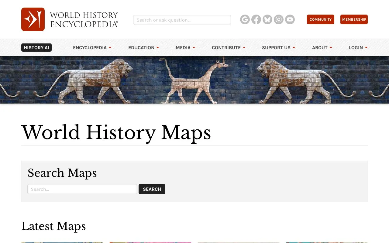
About World History Maps
World History Maps is a section of the World History Encyclopedia website that offers interactive and static historical maps. It includes a searchable archive and a list of the latest maps, such as maps of the Tang Empire, the French Revolution, and the Roman Empire under the Flavian dynasty. The interactive maps listed are mostly separate tools, many created by outside projects or institutions, that cover different periods and regions.
The maps have specific limits. The Map of the Ancient World is described as a work in progress and focuses on the Mediterranean, although it covers other parts of the world too. The Mapper atlas covers political boundaries from 2400 BCE through 263 BCE. The Vici atlas covers the Mediterranean and most of Europe.
Key features
- Interactive Map of the Ancient World with a date selector for different periods
- Mapper atlas showing political boundaries from 2400 BCE through 263 BCE
- Vici Archaeological Atlas of ancient sites and museums, viewable down to street level
- Digital Atlas of the Roman Empire showing provinces, cities, roads, and fortresses
- HistoryMaps Mapboard with a timeline showing changing borders from antiquity to the present
- Zoomable map of global Old World trade networks during the Middle Ages
Best for: Students, teachers, and readers of ancient and medieval history who want to compare borders, sites, or trade routes across different time periods.
Good for
- Several interactive maps include a timeline or date control for viewing change over time.
- The Vici atlas and the Roman Empire atlas are described as highly detailed and zoomable.
- The collection includes a searchable archive as well as interactive maps.
Watch out for
- The Map of the Ancient World is described by its publisher as a work in progress.
- The Mapper atlas covers only the period from 2400 BCE through 263 BCE.
- The Vici atlas covers the Mediterranean and most of Europe, and the Ancient World map focuses on the Mediterranean.
World History Maps at a glance
- Website
- worldhistory.org/mapselect
- Category
- Travel & Maps › Maps, Navigation & Weather
- Type
- Website
- Pricing
- Not confirmed. Check the site
- Platforms
- Web
- Open source
- Not stated
- Language
- English
- Last checked
- Oct 6, 2026 · Online when checked
- Listed
- Oct 5, 2026
World History Maps alternatives
Tools and sites you could use instead, ranked by how closely they match.

OldMapsOnline helps users find historical maps held by libraries and browse map history collections.

Mapy.com provides searchable world maps with hiking and cycling trails, detailed town maps, and route planning.

Map Myths explores phantom geographic features through an interactive collection of historical maps.

Soar provides interactive and historical maps for users to explore and download.

Skimap.org archives more than 29,000 ski resort trail maps from around the world, including historical maps.
Popular in Maps, Navigation & Weather
Well-known listings from the same topic.
OpenWeatherMapopenweathermap.org511on.ca511on.caFIRMSfirms.modaps.eosdis.nasa.gov/mapWeather History & Data Archivewunderground.com/historyORBISorbis.stanford.eduEarth Engine Datasetdevelopers.google.com/earth-engine/datasets


World History Maps FAQ
What time period does the Mapper atlas cover?
The Mapper atlas, described as Atlas for Time Travellers, shows political boundaries from 2400 BCE through 263 BCE.
What geographic area does the Vici Archaeological Atlas cover?
The Vici atlas covers the Mediterranean and most of Europe. It shows ancient sites and museums from the Greco-Roman world, down to street level. It is created and maintained by the Vici Project.
Who created the Digital Atlas of the Roman Empire?
The Digital Atlas of the Roman Empire was created and is managed by the Centre for Digital Humanities at the University of Gothenburg, Sweden.
Is something wrong or out of date?
Tell us and an editor will check it.
Own this website?
Claim this listing
Claim the listing and suggest updates yourself. An editor checks every claim first.